146 Pheasant Ridge Dr Montrose, MN 55363
Estimated Value: $262,000 - $284,000
4
Beds
2
Baths
2,129
Sq Ft
$127/Sq Ft
Est. Value
About This Home
This home is located at 146 Pheasant Ridge Dr, Montrose, MN 55363 and is currently estimated at $271,354, approximately $127 per square foot. 146 Pheasant Ridge Dr is a home located in Wright County with nearby schools including Montrose Elementary School, Buffalo Community Middle School, and Buffalo Senior High School.
Ownership History
Date
Name
Owned For
Owner Type
Purchase Details
Closed on
Sep 20, 2021
Sold by
Meyerson Carol Joy
Bought by
Zaher Erin Kathleen Al
Current Estimated Value
Purchase Details
Closed on
Jul 23, 2018
Sold by
Howell Heidi and Howell Timothy
Bought by
Meyerson Carol Joy
Home Financials for this Owner
Home Financials are based on the most recent Mortgage that was taken out on this home.
Original Mortgage
$143,434
Interest Rate
4.5%
Mortgage Type
New Conventional
Purchase Details
Closed on
Jun 11, 2009
Sold by
Deutsche Bank Natl Trust Co
Bought by
Lebeau Heidi A
Purchase Details
Closed on
Mar 12, 2004
Sold by
Shade Tree Construction Inc
Bought by
Meyerson Donald R and Meyerson Sandra K
Purchase Details
Closed on
Mar 1, 2004
Sold by
Shade Tree Construction Inc
Bought by
Meyerson Donald R and Meyerson Sandra K
Purchase Details
Closed on
Nov 8, 2001
Sold by
Trison Development Inc
Bought by
Shade Tree Construction Inc
Create a Home Valuation Report for This Property
The Home Valuation Report is an in-depth analysis detailing your home's value as well as a comparison with similar homes in the area
Home Values in the Area
Average Home Value in this Area
Purchase History
| Date | Buyer | Sale Price | Title Company |
|---|---|---|---|
| Zaher Erin Kathleen Al | $230,000 | All American Title | |
| Meyerson Carol Joy | $142,000 | Liberty Title Inc | |
| Lebeau Heidi A | $77,150 | -- | |
| Meyerson Donald R | $742,250 | -- | |
| Meyerson Donald R | $742,250 | -- | |
| Shade Tree Construction Inc | $245,000 | -- | |
| Al Zaher Erin Erin | $230,000 | -- |
Source: Public Records
Mortgage History
| Date | Status | Borrower | Loan Amount |
|---|---|---|---|
| Previous Owner | Meyerson Carol Joy | $143,434 |
Source: Public Records
Tax History Compared to Growth
Tax History
| Year | Tax Paid | Tax Assessment Tax Assessment Total Assessment is a certain percentage of the fair market value that is determined by local assessors to be the total taxable value of land and additions on the property. | Land | Improvement |
|---|---|---|---|---|
| 2025 | $2,580 | $227,700 | $25,000 | $202,700 |
| 2024 | $2,720 | $220,500 | $25,000 | $195,500 |
| 2023 | $2,718 | $247,800 | $52,000 | $195,800 |
| 2022 | $2,320 | $228,800 | $52,000 | $176,800 |
| 2021 | $2,106 | $171,200 | $20,000 | $151,200 |
| 2020 | $2,184 | $153,900 | $15,000 | $138,900 |
| 2019 | $2,010 | $156,100 | $0 | $0 |
| 2018 | $1,714 | $126,700 | $0 | $0 |
| 2017 | $1,588 | $107,500 | $0 | $0 |
| 2016 | $1,502 | $0 | $0 | $0 |
| 2015 | $1,284 | $0 | $0 | $0 |
| 2014 | -- | $0 | $0 | $0 |
Source: Public Records
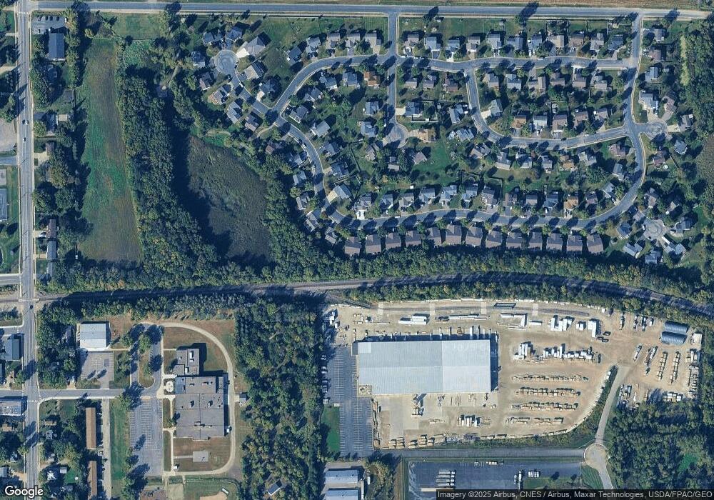
Map
Nearby Homes
- 150 Pheasant Ridge Dr
- 137 Pheasant Ridge Dr
- 301 Center Ave S
- 426 Dillon Ave N
- 161 Mindy Ln Unit 9
- 149 Mindy Ln
- 610 Emerson Ave N
- 517 2nd St S
- 703 7th St N
- 305 Garfield Ave S
- 726 7th St N
- 684 Aspen Ln
- 683 Aspen Ln
- 643 Fieldcrest Ave N
- 685 Aspen Ln
- 690 Aspen Ln
- 645 Fieldcrest Ave N
- 687 Aspen Ln
- 692 Aspen Ln
- 689 Aspen Ln
- 148 Pheasant Ridge Dr
- 144 Pheasant Ridge Dr
- 152 Pheasant Ridge Dr
- 142 Pheasant Ridge Dr
- 154 Pheasant Ridge Dr
- 145 Pheasant Ridge Dr
- 156 Pheasant Ridge Dr
- 140 Pheasant Ridge Dr
- 139 Pheasant Ridge Dr
- 158 Pheasant Ridge Dr
- 160 Pheasant Ridge Dr
- 157 Pheasant Ridge Dr
- 138 Pheasant Ridge Dr
- 162 Pheasant Ridge Dr
- 207 Pheasant Run Dr
- 161 Pheasant Ridge Dr
- 164 Pheasant Ridge Dr
- 136 Pheasant Ridge Dr
- 206 Pheasant Run Dr
- 166 Pheasant Ridge Dr