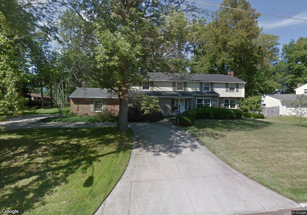
146 Sherbrook Rd Mansfield, OH 44907
Estimated Value: $299,000 - $352,000
4
Beds
3
Baths
4,454
Sq Ft
$72/Sq Ft
Est. Value
About This Home
This home is located at 146 Sherbrook Rd, Mansfield, OH 44907 and is currently estimated at $322,072, approximately $72 per square foot. 146 Sherbrook Rd is a home located in Richland County with nearby schools including Mansfield Christian School, St. Peter's Elementary/Montessori School, and St. Peter's High School/Junior High.
Ownership History
Date
Name
Owned For
Owner Type
Purchase Details
Closed on
Mar 24, 1998
Sold by
Trst Dell M Robinson
Bought by
Mastin James M and Mastin Catherine N
Current Estimated Value
Home Financials for this Owner
Home Financials are based on the most recent Mortgage that was taken out on this home.
Original Mortgage
$118,000
Interest Rate
7.14%
Mortgage Type
New Conventional
Create a Home Valuation Report for This Property
The Home Valuation Report is an in-depth analysis detailing your home's value as well as a comparison with similar homes in the area
Home Values in the Area
Average Home Value in this Area
Purchase History
| Date | Buyer | Sale Price | Title Company |
|---|---|---|---|
| Mastin James M | $178,000 | -- |
Source: Public Records
Mortgage History
| Date | Status | Borrower | Loan Amount |
|---|---|---|---|
| Closed | Mastin James M | $118,000 |
Source: Public Records
Tax History Compared to Growth
Tax History
| Year | Tax Paid | Tax Assessment Tax Assessment Total Assessment is a certain percentage of the fair market value that is determined by local assessors to be the total taxable value of land and additions on the property. | Land | Improvement |
|---|---|---|---|---|
| 2024 | $4,090 | $87,340 | $10,800 | $76,540 |
| 2023 | $4,090 | $87,340 | $10,800 | $76,540 |
| 2022 | $3,690 | $66,040 | $9,420 | $56,620 |
| 2021 | $3,716 | $66,040 | $9,420 | $56,620 |
| 2020 | $3,799 | $66,040 | $9,420 | $56,620 |
| 2019 | $3,569 | $55,970 | $7,980 | $47,990 |
| 2018 | $3,520 | $55,970 | $7,980 | $47,990 |
| 2017 | $3,425 | $55,970 | $7,980 | $47,990 |
| 2016 | $3,463 | $54,870 | $7,580 | $47,290 |
| 2015 | $3,308 | $54,870 | $7,580 | $47,290 |
| 2014 | $3,264 | $54,870 | $7,580 | $47,290 |
| 2012 | $3,163 | $57,750 | $7,980 | $49,770 |
Source: Public Records
Map
Nearby Homes
- 136 Elmridge Rd
- 1156 Yorkwood Rd
- 0 Lexington Ave Unit 224009661
- 1125 Larchwood Rd
- 0 S Main St
- 33 Rambleside Dr
- 65 Logan Rd
- 476 Glendale Blvd
- 501 Clifton Blvd
- 61 Ridgewood Blvd
- 0 George Ave
- 154 Elderberry Dr
- 148 Elderberry Dr
- 132 Elderberry Dr
- 1011 Princeton Trace
- 129 Elderberry Dr
- 646 Kennedy Dr
- 674 Hillgrove Ave
- 681 Hillgrove Ave
- 0 U S Highway 42
- 142 Sherbrook Rd
- 149 Elmridge Rd
- 153 Elmridge Rd
- 145 Elmridge Rd
- 149 Sherbrook Rd
- 153 Sherbrook Rd
- 138 Sherbrook Rd
- 157 Elmridge Rd
- 145 Sherbrook Rd
- 157 Sherbrook Rd
- 141 Elmridge Rd
- 160 Sherbrook Rd
- 141 Sherbrook Rd
- 161 Elmridge Rd
- 134 Sherbrook Rd
- 161 Sherbrook Rd
- 160 Elmridge Rd
- 150 Redwood Rd
- 150 Elmridge Rd
- 137 Elmridge Rd