Estimated Value: $433,000 - $505,039
5
Beds
3
Baths
3,843
Sq Ft
$126/Sq Ft
Est. Value
About This Home
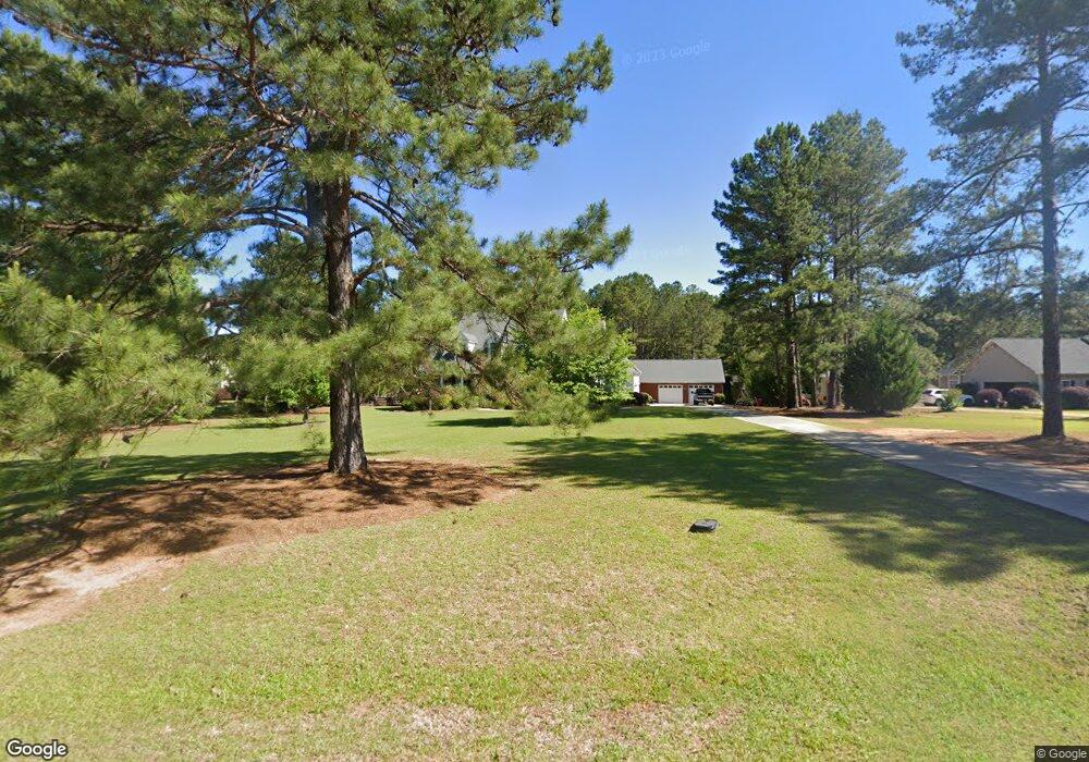
This home is located at 146 Stone Edge Dr, Gray, GA 31032 and is currently estimated at $483,010, approximately $125 per square foot. 146 Stone Edge Dr is a home located in Jones County with nearby schools including Gray Elementary School, Gray Station Middle School, and Jones County High School.
Ownership History
Date
Name
Owned For
Owner Type
Purchase Details
Closed on
Jul 10, 2009
Sold by
Goldsberry Gregory Earl
Bought by
Mix John W
Current Estimated Value
Home Financials for this Owner
Home Financials are based on the most recent Mortgage that was taken out on this home.
Original Mortgage
$380,000
Outstanding Balance
$247,729
Interest Rate
5.53%
Mortgage Type
New Conventional
Estimated Equity
$235,281
Purchase Details
Closed on
Mar 29, 2006
Sold by
Not Provided
Bought by
Mix John W and Mix Jennifer M
Purchase Details
Closed on
Jul 19, 2005
Sold by
Davis Laverne C
Bought by
Goldsberry Earl B
Purchase Details
Closed on
Oct 17, 2000
Sold by
A & D Electric Llc
Bought by
Davis Laverne C
Purchase Details
Closed on
Sep 8, 2000
Bought by
A & D Electric Llc
Create a Home Valuation Report for This Property
The Home Valuation Report is an in-depth analysis detailing your home's value as well as a comparison with similar homes in the area
Home Values in the Area
Average Home Value in this Area
Purchase History
| Date | Buyer | Sale Price | Title Company |
|---|---|---|---|
| Mix John W | $380,000 | -- | |
| Mix John W | $380,000 | -- | |
| Mix John W | -- | -- | |
| Goldsberry Earl B | $45,000 | -- | |
| Davis Laverne C | $42,000 | -- | |
| A & D Electric Llc | $163,000 | -- |
Source: Public Records
Mortgage History
| Date | Status | Borrower | Loan Amount |
|---|---|---|---|
| Open | Mix John W | $380,000 | |
| Closed | Mix John W | $380,000 |
Source: Public Records
Tax History
| Year | Tax Paid | Tax Assessment Tax Assessment Total Assessment is a certain percentage of the fair market value that is determined by local assessors to be the total taxable value of land and additions on the property. | Land | Improvement |
|---|---|---|---|---|
| 2025 | $6,472 | $201,012 | $16,380 | $184,632 |
| 2023 | $4,197 | $138,950 | $12,600 | $126,350 |
| 2022 | $4,850 | $138,698 | $12,348 | $126,350 |
| 2021 | $4,855 | $138,698 | $12,348 | $126,350 |
| 2020 | $4,743 | $135,498 | $12,348 | $123,150 |
| 2019 | $4,743 | $135,498 | $12,348 | $123,150 |
| 2018 | $4,743 | $135,498 | $12,348 | $123,150 |
| 2017 | $4,743 | $135,498 | $12,348 | $123,150 |
| 2016 | $4,661 | $133,240 | $12,348 | $120,892 |
| 2015 | $4,406 | $133,240 | $12,348 | $120,892 |
| 2014 | $4,062 | $133,240 | $12,348 | $120,892 |
Source: Public Records
Map
Nearby Homes
- 179 Stone Edge Dr
- 548 Greene Settlement Rd
- 0 Eatonton Hwy Unit 23385714
- 0 Sandra Dr Unit M179018
- 0 Sandra Dr Unit 52382
- 0 Sandra Dr Unit 10487926
- 0 Sandra Dr Unit 252106
- 583 Greene Settlement Rd
- 106 Davis St
- 232 North St
- 236 Old Clinton Rd
- 122 Pinewood Dr
- 129 Woodland Dr
- 176 Childs St
- 251 Autumn Ridge Ct
- 1023 Boulder Dr Unit LOT 65
- 1023 Boulder Dr
- 1023 Boulder Lot 65 Dr
- 132 Oak Dr
- 115 Oak Dr
- 126 Stone Edge Dr
- 152 Stone Edge Dr
- 118 Stone Edge Dr
- 147 Stone Edge Dr
- 164 Stone Edge Dr
- 129 Stone Edge Dr
- 169 Stone Edge Dr
- 180 Stone Edge Dr
- 110 Stone Edge Dr
- 283 Weidner Dr
- 163 Stone Edge Dr
- 117 Stone Edge Dr
- 186 Stone Edge Dr
- 185 Stone Edge Dr
- 185 Stone Edge Dr Unit 14
- 102 Stone Edge Dr
- 192 Stone Edge Dr
- 255 Weidner Dr
- 103 Stone Edge Dr
- 193 Stone Edge Dr
Your Personal Tour Guide
Ask me questions while you tour the home.