1460 Brentwood Dr Unit 2 Marietta, GA 30062
Eastern Marietta NeighborhoodEstimated Value: $538,000 - $599,000
3
Beds
3
Baths
2,978
Sq Ft
$191/Sq Ft
Est. Value
About This Home
This home is located at 1460 Brentwood Dr Unit 2, Marietta, GA 30062 and is currently estimated at $569,412, approximately $191 per square foot. 1460 Brentwood Dr Unit 2 is a home located in Cobb County with nearby schools including Sawyer Road Elementary School, Marietta Sixth Grade Academy, and Marietta Middle School.
Ownership History
Date
Name
Owned For
Owner Type
Purchase Details
Closed on
Oct 10, 2012
Sold by
Keller John F
Bought by
Kalatzis Vaios
Current Estimated Value
Home Financials for this Owner
Home Financials are based on the most recent Mortgage that was taken out on this home.
Original Mortgage
$165,000
Outstanding Balance
$114,335
Interest Rate
3.6%
Mortgage Type
New Conventional
Estimated Equity
$455,077
Purchase Details
Closed on
Jun 5, 1998
Sold by
Olympia Homes
Bought by
Keller John F and Keller Gina M
Home Financials for this Owner
Home Financials are based on the most recent Mortgage that was taken out on this home.
Original Mortgage
$110,000
Interest Rate
7.14%
Mortgage Type
New Conventional
Create a Home Valuation Report for This Property
The Home Valuation Report is an in-depth analysis detailing your home's value as well as a comparison with similar homes in the area
Home Values in the Area
Average Home Value in this Area
Purchase History
| Date | Buyer | Sale Price | Title Company |
|---|---|---|---|
| Kalatzis Vaios | $185,000 | -- | |
| Keller John F | $170,400 | -- |
Source: Public Records
Mortgage History
| Date | Status | Borrower | Loan Amount |
|---|---|---|---|
| Open | Kalatzis Vaios | $165,000 | |
| Previous Owner | Keller John F | $110,000 |
Source: Public Records
Tax History Compared to Growth
Tax History
| Year | Tax Paid | Tax Assessment Tax Assessment Total Assessment is a certain percentage of the fair market value that is determined by local assessors to be the total taxable value of land and additions on the property. | Land | Improvement |
|---|---|---|---|---|
| 2025 | $600 | $201,544 | $44,000 | $157,544 |
| 2024 | $600 | $201,544 | $44,000 | $157,544 |
| 2023 | $448 | $184,160 | $40,000 | $144,160 |
| 2022 | $600 | $142,692 | $32,000 | $110,692 |
| 2021 | $619 | $142,692 | $32,000 | $110,692 |
| 2020 | $618 | $134,680 | $26,000 | $108,680 |
| 2019 | $616 | $123,704 | $26,000 | $97,704 |
| 2018 | $616 | $123,704 | $26,000 | $97,704 |
| 2017 | $493 | $104,956 | $26,000 | $78,956 |
| 2016 | $497 | $104,956 | $26,000 | $78,956 |
| 2015 | $540 | $91,308 | $27,200 | $64,108 |
| 2014 | $559 | $91,308 | $0 | $0 |
Source: Public Records
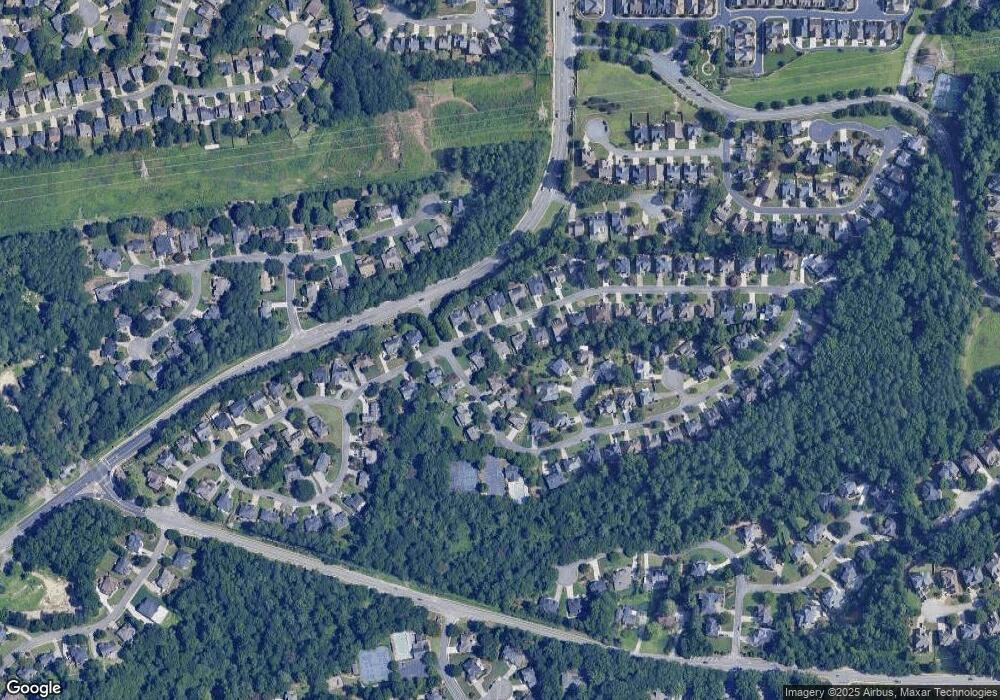
Map
Nearby Homes
- 1391 Brentwood Ln
- 1511 Emerald Glen Dr
- 1442 Glenover Cir
- 1580 Reids Ferry Way
- 1519 Evanston Ln
- 1387 Woodcutt Place
- 1237 Blackjack Ct
- 1368 Woodcutt Place
- 1255 Testarosa Way
- 1582 Cambridge
- 1391 Cameron Glen Dr Unit 1
- 1599 Cambridge Place
- 1800 Chardin Way
- 1871 Chardin Way
- 1593 Pinebreeze Dr
- 1716 Chanson Place
- 1260 Herty Dr
- 1060 Lawanna Dr
- 1227 Herty Dr
- 1080 Soaring Way NE
- 1464 Brentwood Dr
- 1610 Brentwood Dr
- 1606 Brentwood Dr Unit 1
- 1468 Brentwood Dr Unit 2
- 1602 Brentwood Dr Unit 1
- 1461 Brentwood Dr
- 1447 Brentwood Ct
- 1447 Brentwood Ct
- 1463 Brentwood Dr
- 1443 Brentwood Ct
- 0 Brentwood Dr Unit 7041580
- 0 Brentwood Dr Unit 7299141
- 0 Brentwood Dr Unit 7260534
- 0 Brentwood Dr Unit 8565115
- 0 Brentwood Dr Unit 8317714
- 0 Brentwood Dr Unit 8306590
- 0 Brentwood Dr Unit 8130859
- 0 Brentwood Dr Unit 8226499
- 0 Brentwood Dr Unit 7179281
- 0 Brentwood Dr Unit 7197670