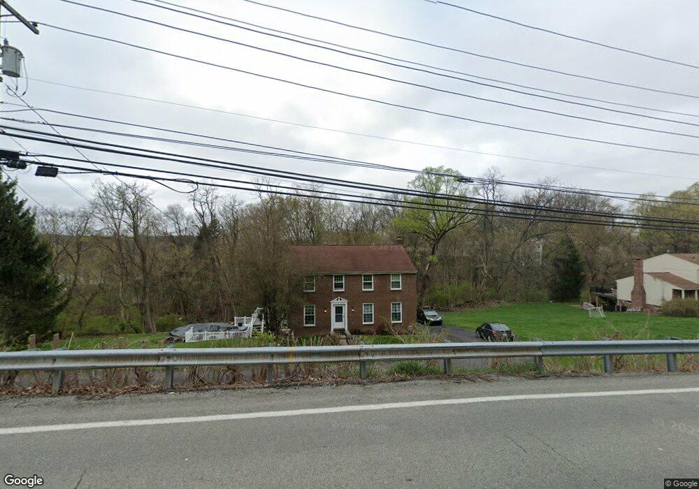
1460 Mayview Rd Pittsburgh, PA 15241
Estimated Value: $392,156 - $437,000
4
Beds
3
Baths
2,016
Sq Ft
$209/Sq Ft
Est. Value
About This Home
This home is located at 1460 Mayview Rd, Pittsburgh, PA 15241 and is currently estimated at $421,539, approximately $209 per square foot. 1460 Mayview Rd is a home located in Allegheny County with nearby schools including Upper St. Clair High School.
Ownership History
Date
Name
Owned For
Owner Type
Purchase Details
Closed on
May 7, 1999
Sold by
Gibson Alan Robert James
Bought by
Gibson Alan Robert James and Gibson Lynette Marie
Current Estimated Value
Purchase Details
Closed on
Jan 19, 1998
Sold by
Gaskill David M and Gaskill Linda A
Bought by
Gibson Alan Robert James
Purchase Details
Closed on
Jan 1, 1900
Create a Home Valuation Report for This Property
The Home Valuation Report is an in-depth analysis detailing your home's value as well as a comparison with similar homes in the area
Home Values in the Area
Average Home Value in this Area
Purchase History
| Date | Buyer | Sale Price | Title Company |
|---|---|---|---|
| Gibson Alan Robert James | -- | -- | |
| Gibson Alan Robert James | $134,000 | -- | |
| -- | -- | -- | |
| -- | -- | -- |
Source: Public Records
Tax History Compared to Growth
Tax History
| Year | Tax Paid | Tax Assessment Tax Assessment Total Assessment is a certain percentage of the fair market value that is determined by local assessors to be the total taxable value of land and additions on the property. | Land | Improvement |
|---|---|---|---|---|
| 2025 | $5,217 | $136,600 | $43,000 | $93,600 |
| 2024 | $5,217 | $136,600 | $43,000 | $93,600 |
| 2023 | $5,071 | $136,600 | $43,000 | $93,600 |
| 2022 | $4,950 | $136,600 | $43,000 | $93,600 |
| 2021 | $646 | $136,600 | $43,000 | $93,600 |
| 2020 | $4,772 | $136,600 | $43,000 | $93,600 |
| 2019 | $4,702 | $136,600 | $43,000 | $93,600 |
| 2018 | $646 | $136,600 | $43,000 | $93,600 |
| 2017 | $4,493 | $136,600 | $43,000 | $93,600 |
| 2016 | $646 | $136,600 | $43,000 | $93,600 |
| 2015 | $646 | $136,600 | $43,000 | $93,600 |
| 2014 | $4,202 | $136,600 | $43,000 | $93,600 |
Source: Public Records
Map
Nearby Homes
- 1331 Morrow Rd
- 1435 Morrow Rd
- 1005 Tall Trees Dr
- 250 Portman Ln Unit A
- 1560 Mayview Rd
- 1251 Greystone Dr
- 1109 Bank St
- 2370 Morrow Rd
- 412 Winfield St
- 2301 Southampton Dr
- 2013 Ashton Row
- 2122 Westcott Ln
- 1115 Sray Ln
- Ashby Plan at Hastings - Single Family
- Royston Plan at Hastings - Single Family
- Corby Plan at Hastings - Single Family
- Helston Plan at Hastings - Single Family
- Marlow Plan at Hastings - Single Family
- Bromley Plan at Hastings - Single Family
- 1438 Hastings Crescent Unit Royston
- 1450 Mayview Rd
- 1470 Mayview Rd
- 1215 Satellite Cir
- 1213 Satellite Cir
- 1137 Galaxy Cir
- 1225 Satellite Cir
- 1133 Galaxy Cir
- 1233 Satellite Cir
- 1129 Galaxy Cir
- 1205 Satellite Cir
- 1141 Galaxy Cir
- 1472 Mayview Rd
- 1241 Satellite Cir
- 1216 Satellite Cir
- 1201 Satellite Cir
- 1125 Galaxy Cir
- 1224 Satellite Cir
- 1447 Mayview Rd
- 1208 Satellite Cir
- 1232 Satellite Cir