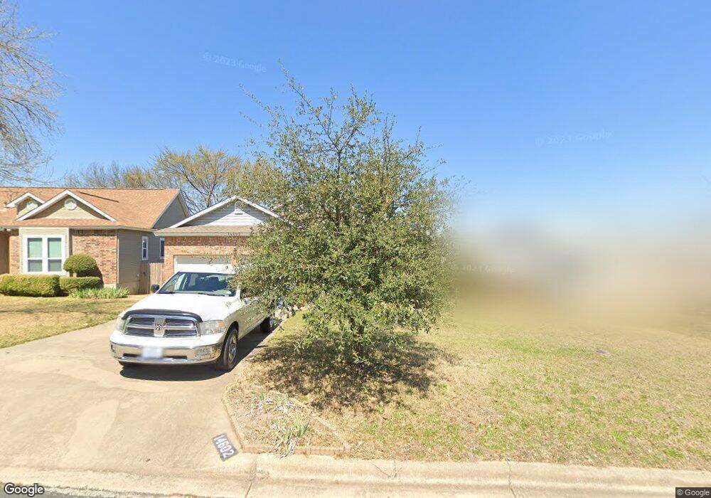
14602 Sandy Side Dr Unit Dr Austin, TX 78728
Wells Branch NeighborhoodEstimated Value: $405,000 - $461,000
--
Bed
2
Baths
1,597
Sq Ft
$269/Sq Ft
Est. Value
About This Home
This home is located at 14602 Sandy Side Dr Unit Dr, Austin, TX 78728 and is currently estimated at $429,737, approximately $269 per square foot. 14602 Sandy Side Dr Unit Dr is a home located in Travis County with nearby schools including Northwest Elementary School, Westview Middle School, and John B Connally High School.
Ownership History
Date
Name
Owned For
Owner Type
Purchase Details
Closed on
Nov 2, 2007
Sold by
Jackson Patricia Spiller and Jackson Earl
Bought by
Petronis Joseph R and Petronis Mary B
Current Estimated Value
Home Financials for this Owner
Home Financials are based on the most recent Mortgage that was taken out on this home.
Original Mortgage
$131,600
Outstanding Balance
$83,436
Interest Rate
6.42%
Mortgage Type
Purchase Money Mortgage
Estimated Equity
$346,301
Create a Home Valuation Report for This Property
The Home Valuation Report is an in-depth analysis detailing your home's value as well as a comparison with similar homes in the area
Home Values in the Area
Average Home Value in this Area
Purchase History
| Date | Buyer | Sale Price | Title Company |
|---|---|---|---|
| Petronis Joseph R | -- | None Available |
Source: Public Records
Mortgage History
| Date | Status | Borrower | Loan Amount |
|---|---|---|---|
| Open | Petronis Joseph R | $131,600 |
Source: Public Records
Tax History Compared to Growth
Tax History
| Year | Tax Paid | Tax Assessment Tax Assessment Total Assessment is a certain percentage of the fair market value that is determined by local assessors to be the total taxable value of land and additions on the property. | Land | Improvement |
|---|---|---|---|---|
| 2025 | $7,914 | $369,501 | $240,390 | $129,111 |
| 2023 | $7,914 | $443,648 | $275,000 | $168,648 |
| 2022 | $9,589 | $463,501 | $275,000 | $188,501 |
| 2021 | $6,866 | $292,511 | $75,000 | $217,511 |
| 2020 | $5,607 | $233,846 | $75,000 | $158,846 |
| 2018 | $5,663 | $226,910 | $75,000 | $151,910 |
| 2017 | $5,079 | $201,407 | $75,000 | $135,257 |
| 2016 | $4,617 | $183,097 | $40,000 | $143,769 |
| 2015 | $3,474 | $166,452 | $40,000 | $129,873 |
| 2014 | $3,474 | $151,320 | $40,000 | $111,320 |
Source: Public Records
Map
Nearby Homes
- 1913 Klattenhoff Dr
- 14811 Bescott Dr
- 14401 Richard Walker Blvd
- 2104 Warfield Way
- 2134 Cervin Blvd
- 14913 Alpha Collier Dr
- 2109 Haas Ln
- 2113 Delvin Ln
- 2107 Waterway Bend
- 2109 Waterway Bend
- 1915 Margalene Way
- 2314 Klattenhoff Dr
- 1717 Fleischer Dr
- 14487 Robert I Walker Blvd
- 2205 Waterway Bend
- 2112 Waterway Bend
- 14448 Robert I Walker Blvd
- 2007 Tasmanian Tiger Trace Unit 90
- 2008 Tasmanian Tiger Trace
- 1912 Tasmanian Tiger Trace
- 14602 Sandy Side Dr
- 14604 Sandy Side Dr Unit Dr
- 14604 Sandy Side Dr
- 14600 Sandy Side Dr
- 14510 Sandy Side Dr
- 1911 Crystal Shore Dr
- 14606 Sandy Side Dr
- 2001 Crystal Shore Dr
- 14601 Sandy Side Dr
- 14603 Sandy Side Dr
- 2003 Crystal Shore Dr
- 14508 Sandy Side Dr
- 14511 Sandy Side Dr Unit Dr
- 14511 Sandy Side Dr
- 14605 Sandy Side Dr
- 2005 Crystal Shore Dr
- 14607 Sandy Side Dr
- 14607 Sandy Side Dr Unit Dr
- 14609 Sandy Side Dr Unit Dr
- 14609 Sandy Side Dr