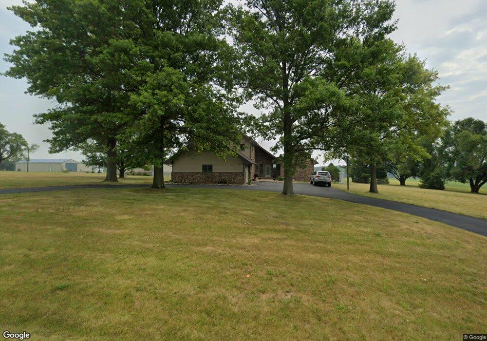
14607 Twin Grove Rd Bloomington, IL 61705
Twin Grove NeighborhoodEstimated Value: $312,000 - $504,000
--
Bed
3
Baths
1,732
Sq Ft
$238/Sq Ft
Est. Value
About This Home
This home is located at 14607 Twin Grove Rd, Bloomington, IL 61705 and is currently estimated at $411,848, approximately $237 per square foot. 14607 Twin Grove Rd is a home located in McLean County with nearby schools including Olympia High School.
Ownership History
Date
Name
Owned For
Owner Type
Purchase Details
Closed on
Jan 30, 2015
Sold by
Heartland Bank And Trust Co
Bought by
Toliver Dennis Alan and Toliver Pamela Sue
Current Estimated Value
Home Financials for this Owner
Home Financials are based on the most recent Mortgage that was taken out on this home.
Original Mortgage
$203,600
Outstanding Balance
$68,882
Interest Rate
2.75%
Mortgage Type
New Conventional
Estimated Equity
$342,966
Create a Home Valuation Report for This Property
The Home Valuation Report is an in-depth analysis detailing your home's value as well as a comparison with similar homes in the area
Home Values in the Area
Average Home Value in this Area
Purchase History
| Date | Buyer | Sale Price | Title Company |
|---|---|---|---|
| Toliver Dennis Alan | $254,500 | Mclean County Title |
Source: Public Records
Mortgage History
| Date | Status | Borrower | Loan Amount |
|---|---|---|---|
| Open | Toliver Dennis Alan | $203,600 |
Source: Public Records
Tax History Compared to Growth
Tax History
| Year | Tax Paid | Tax Assessment Tax Assessment Total Assessment is a certain percentage of the fair market value that is determined by local assessors to be the total taxable value of land and additions on the property. | Land | Improvement |
|---|---|---|---|---|
| 2024 | $6,787 | $117,702 | $7,397 | $110,305 |
| 2022 | $6,787 | $96,218 | $6,043 | $90,175 |
| 2021 | $6,269 | $89,722 | $5,593 | $84,129 |
| 2020 | $6,519 | $87,247 | $5,353 | $81,894 |
| 2019 | $6,628 | $88,943 | $5,324 | $83,619 |
| 2018 | $6,649 | $88,943 | $5,324 | $83,619 |
| 2017 | $6,566 | $88,278 | $5,190 | $83,088 |
| 2016 | $6,359 | $85,991 | $4,987 | $81,004 |
| 2015 | $6,221 | $84,274 | $4,821 | $79,453 |
| 2014 | $5,490 | $81,607 | $4,557 | $77,050 |
| 2013 | -- | $81,538 | $4,488 | $77,050 |
Source: Public Records
Map
Nearby Homes
- 8468 Carriage Hills Rd
- 14089 Jean Trace
- 9030 Hardesty Run
- 9491 Crossbow Dr
- 13765 Deer Ridge Rd
- 13310 Tango Rd
- 1044 Wylie Dr
- 21 Fedor Cir
- 209 N West St
- 114 W North St
- 408 N West St
- 1301-1303 Cross Creek Dr
- 3 Pebblebrook Ct
- 26 Vermont Ave
- 2009 Marina Dr
- 45 Pebblebrook Ct
- 1925 Marina Dr
- 421 Robert Dr
- 67 Oak Park Rd
- 69 Pebblebrook Ct
- 14629 Twin Grove Rd
- 8573 Gertie Ln
- 14476 Twin Grove Rd
- 0 Twin Grove Rd Unit 2153713
- 0 Twin Grove Rd Unit 10210710
- 0 Twin Grove Rd Unit 10184233
- 8629 Gertie Ln
- 14454 Twin Grove Rd
- 14509 Twin Grove Rd
- 8388 Surrey Cir
- 8406 Surrey Cir
- 14430 Twin Grove Rd
- 8494 Surrey Cir
- 8512 Surrey Cir
- 8454 Surrey Cir
- 8743 Gertie Ln
- 8743 Gertie Ln
- 8476 Surrey Cir
- 8518 Surrey Cir
- 8407 Surrey Cir