1461 Scout Dr Rockledge, FL 32955
Estimated Value: $385,535 - $416,000
4
Beds
3
Baths
1,975
Sq Ft
$206/Sq Ft
Est. Value
About This Home
This home is located at 1461 Scout Dr, Rockledge, FL 32955 and is currently estimated at $407,384, approximately $206 per square foot. 1461 Scout Dr is a home with nearby schools including Golfview Elementary School, Ronald McNair Magnet Middle School, and Rockledge Senior High School.
Ownership History
Date
Name
Owned For
Owner Type
Purchase Details
Closed on
May 16, 2022
Sold by
Clifford Baker Charles and Clifford Sharon L
Bought by
Baker Charles Clifford and Baker Sharon
Current Estimated Value
Purchase Details
Closed on
Jun 25, 2015
Sold by
D R Horton Inc
Bought by
Baker Charles C and Baker Sharon L
Home Financials for this Owner
Home Financials are based on the most recent Mortgage that was taken out on this home.
Original Mortgage
$214,330
Interest Rate
3.89%
Purchase Details
Closed on
Aug 30, 2012
Sold by
Iberiabank
Bought by
D R Horton Inc
Create a Home Valuation Report for This Property
The Home Valuation Report is an in-depth analysis detailing your home's value as well as a comparison with similar homes in the area
Home Values in the Area
Average Home Value in this Area
Purchase History
| Date | Buyer | Sale Price | Title Company |
|---|---|---|---|
| Baker Charles Clifford | -- | None Listed On Document | |
| Baker Charles C | $214,330 | Dhi Title Of Florida Inc | |
| D R Horton Inc | $975,000 | Attorney |
Source: Public Records
Mortgage History
| Date | Status | Borrower | Loan Amount |
|---|---|---|---|
| Previous Owner | Baker Charles C | $214,330 |
Source: Public Records
Tax History
| Year | Tax Paid | Tax Assessment Tax Assessment Total Assessment is a certain percentage of the fair market value that is determined by local assessors to be the total taxable value of land and additions on the property. | Land | Improvement |
|---|---|---|---|---|
| 2025 | $1,334 | $210,580 | -- | -- |
| 2024 | $1,315 | $204,650 | -- | -- |
| 2023 | $1,315 | $198,690 | $0 | $0 |
| 2022 | $1,235 | $192,910 | $0 | $0 |
| 2021 | $4,141 | $187,300 | $0 | $0 |
| 2020 | $4,141 | $184,720 | $0 | $0 |
| 2019 | $1,245 | $180,570 | $0 | $0 |
| 2018 | $1,247 | $177,210 | $0 | $0 |
| 2017 | $1,253 | $173,570 | $0 | $0 |
| 2016 | $1,214 | $170,000 | $27,500 | $142,500 |
| 2015 | $489 | $27,500 | $27,500 | $0 |
| 2014 | $359 | $20,000 | $20,000 | $0 |
Source: Public Records
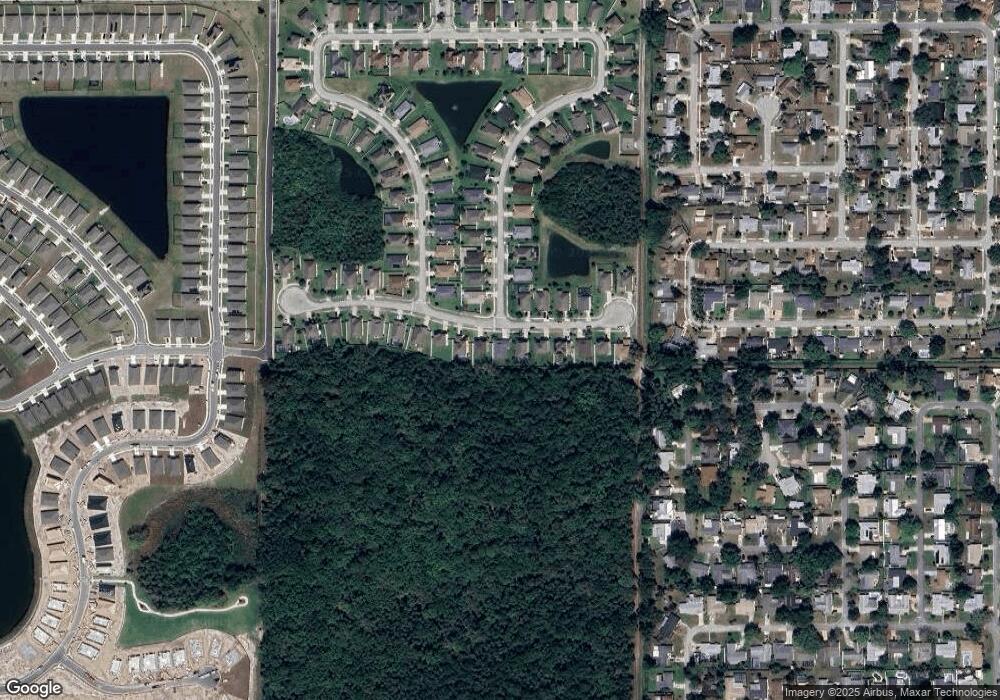
Map
Nearby Homes
- 1365 Sangria Cir
- 1322 Royal Birkdale Cir
- 999 Trinity St
- 1131 Tarpon Dr
- 1122 Manatee Dr
- 977 Trinity St
- 1275 Troon Way
- 1303 Georgia Ave
- 1113 Pinedale Rd
- 1107 Woodlawn Rd
- 1101 Trinity St
- 1387 Gleneagles Ct
- 00 Pluckebaum Rd
- 1221 Saint Andrews Dr
- 926 Trinity St
- 897 Belmont Place
- 235 Sorrento Dr
- 838 Georgia Ave
- 1400 Hoy Lake Ct
- 935 S Varr Ave
Your Personal Tour Guide
Ask me questions while you tour the home.