14625 Saint Croix Trail North Branch, MN 55056
Estimated Value: $393,000 - $480,693
4
Beds
2
Baths
1,276
Sq Ft
$353/Sq Ft
Est. Value
About This Home
This home is located at 14625 Saint Croix Trail, North Branch, MN 55056 and is currently estimated at $450,923, approximately $353 per square foot. 14625 Saint Croix Trail is a home located in Chisago County with nearby schools including North Branch Middle School, Sunrise River Elementary School, and North Branch Senior High School.
Ownership History
Date
Name
Owned For
Owner Type
Purchase Details
Closed on
Jun 16, 2017
Sold by
Burggraff Braian Michael and Burggraff Kristina Rae
Bought by
Loftman Jess E and Loftman Tammy L
Current Estimated Value
Purchase Details
Closed on
May 12, 1999
Sold by
Ptl Llc
Bought by
Levesseur Steven
Purchase Details
Closed on
Apr 5, 1999
Sold by
Carlson Jerrold I and Carlson Margaret A
Bought by
Graphic Homes Inc
Purchase Details
Closed on
Jul 9, 1998
Sold by
Petersen Harriet F
Bought by
Carlson Jerrold I
Create a Home Valuation Report for This Property
The Home Valuation Report is an in-depth analysis detailing your home's value as well as a comparison with similar homes in the area
Home Values in the Area
Average Home Value in this Area
Purchase History
| Date | Buyer | Sale Price | Title Company |
|---|---|---|---|
| Loftman Jess E | $270,000 | Casterton Title | |
| Levesseur Steven | $45,750 | -- | |
| Graphic Homes Inc | $28,000 | -- | |
| Carlson Jerrold I | $20,000 | -- |
Source: Public Records
Tax History Compared to Growth
Tax History
| Year | Tax Paid | Tax Assessment Tax Assessment Total Assessment is a certain percentage of the fair market value that is determined by local assessors to be the total taxable value of land and additions on the property. | Land | Improvement |
|---|---|---|---|---|
| 2023 | $4,232 | $433,500 | $103,300 | $330,200 |
| 2022 | $4,280 | $400,400 | $0 | $0 |
| 2021 | $4,106 | $312,500 | $0 | $0 |
| 2020 | $4,006 | $297,700 | $71,400 | $226,300 |
| 2019 | $3,754 | $0 | $0 | $0 |
| 2018 | $3,720 | $0 | $0 | $0 |
| 2017 | $3,444 | $0 | $0 | $0 |
| 2016 | $3,450 | $0 | $0 | $0 |
| 2015 | $3,598 | $0 | $0 | $0 |
| 2014 | -- | $191,700 | $0 | $0 |
Source: Public Records
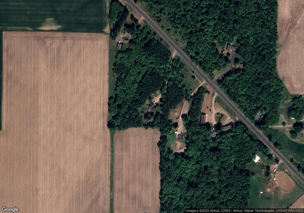
Map
Nearby Homes
- 15535 375th St
- 16030 Maple Ln
- 15260 360th St
- 149xx 360th St
- 35887 Oasis Rd
- 35713 Patriot Ave
- 35647 Oxford Ave
- 39529 Trulson Rd
- 35420 Oasis Rd
- 12214 Sunrise Rd
- 10869 Haycreek Rd
- TBD Keystone Ave
- 38621 July Ave
- Parcel C Keystone Ave
- XX153 River Rd
- TBD Keystone Ave
- 2789 248th Ave
- 2735 243rd Ave
- 2630 320th St
- 13860 325th St
- 14653 Saint Croix Trail
- 14539 Saint Croix Trail
- 14539 14539 St Croix Trail
- 14673 Saint Croix Trail
- 14662 Saint Croix Trail
- 14777 Saint Croix Trail
- 14744 Saint Croix Trail
- 14490 Saint Croix Trail
- 38765 Oriole Ave
- 14770 Saint Croix Trail
- 38157 Oriole Ave
- xxxx Oriole Ave
- 38240 Oriole Ave
- 14475 390th St
- 38995 Oriole Ave
- 14985 Saint Croix Trail
- 14934 Saint Croix Trail
- 38750 Pine Ave
- 38610 38610 Pine-Avenue-
- 39161 Oriole Ave