14631 Spurlock Ln Pine Grove, CA 95665
Estimated Value: $296,000 - $341,000
2
Beds
2
Baths
1,132
Sq Ft
$284/Sq Ft
Est. Value
About This Home
This home is located at 14631 Spurlock Ln, Pine Grove, CA 95665 and is currently estimated at $321,565, approximately $284 per square foot. 14631 Spurlock Ln is a home with nearby schools including Sutter Creek Elementary School, Ione Junior High School, and Amador High School.
Ownership History
Date
Name
Owned For
Owner Type
Purchase Details
Closed on
Jan 22, 2026
Sold by
Dillard David James
Bought by
Dillard David James
Current Estimated Value
Home Financials for this Owner
Home Financials are based on the most recent Mortgage that was taken out on this home.
Original Mortgage
$52,000
Outstanding Balance
$52,000
Interest Rate
6.21%
Mortgage Type
Credit Line Revolving
Estimated Equity
$269,565
Purchase Details
Closed on
Jan 21, 2026
Sold by
Dillard Jill
Bought by
Dillard David James
Home Financials for this Owner
Home Financials are based on the most recent Mortgage that was taken out on this home.
Original Mortgage
$52,000
Outstanding Balance
$52,000
Interest Rate
6.21%
Mortgage Type
Credit Line Revolving
Estimated Equity
$269,565
Purchase Details
Closed on
Feb 5, 2008
Sold by
Dillard David James
Bought by
Dillard David James
Home Financials for this Owner
Home Financials are based on the most recent Mortgage that was taken out on this home.
Original Mortgage
$244,000
Interest Rate
6.04%
Mortgage Type
New Conventional
Create a Home Valuation Report for This Property
The Home Valuation Report is an in-depth analysis detailing your home's value as well as a comparison with similar homes in the area
Home Values in the Area
Average Home Value in this Area
Purchase History
| Date | Buyer | Sale Price | Title Company |
|---|---|---|---|
| Dillard David James | -- | Placer Title Company | |
| Dillard David James | -- | Placer Title Company | |
| Dillard David James | -- | Lenders Choice Title Company |
Source: Public Records
Mortgage History
| Date | Status | Borrower | Loan Amount |
|---|---|---|---|
| Open | Dillard David James | $52,000 | |
| Previous Owner | Dillard David James | $244,000 |
Source: Public Records
Tax History
| Year | Tax Paid | Tax Assessment Tax Assessment Total Assessment is a certain percentage of the fair market value that is determined by local assessors to be the total taxable value of land and additions on the property. | Land | Improvement |
|---|---|---|---|---|
| 2025 | $2,015 | $199,061 | $70,533 | $128,528 |
| 2024 | $2,015 | $195,158 | $69,150 | $126,008 |
| 2023 | $1,973 | $191,333 | $67,795 | $123,538 |
| 2022 | $1,873 | $187,582 | $66,466 | $121,116 |
| 2021 | $1,836 | $183,905 | $65,163 | $118,742 |
| 2020 | $1,817 | $182,020 | $64,495 | $117,525 |
| 2019 | $1,780 | $178,452 | $63,231 | $115,221 |
| 2018 | $1,744 | $174,954 | $61,992 | $112,962 |
| 2017 | $1,710 | $171,525 | $60,777 | $110,748 |
| 2016 | $1,675 | $168,163 | $59,586 | $108,577 |
| 2015 | $1,650 | $165,638 | $58,691 | $106,947 |
| 2014 | -- | $162,395 | $57,542 | $104,853 |
Source: Public Records
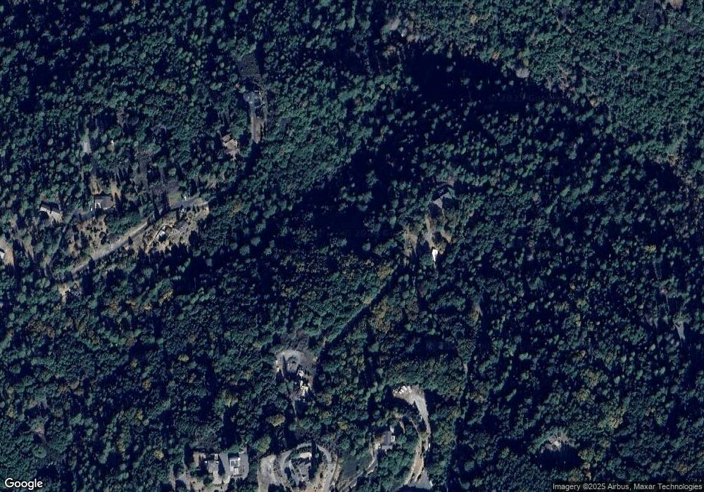
Map
Nearby Homes
- 19620 State Highway 88
- 20070 Tellurium Dr
- 14074 Irishtown Rd Unit 40
- 14074 Irishtown Rd Unit 12
- 14986 Margot Ln
- 19475 Murphy Rd
- 13825 Pine View Dr
- 13851 Tank Ct
- 18777 Sugar Pine Dr S
- 19934 Pitts Ct
- 13331 Valley Vista Ct
- 20117 Neilson Rd
- 18395 Climax Rd
- 13771 West Ct
- 13309 Taves Rd
- 12970 Spagnoli Mine Rd
- 18640 Toyon Ct
- 14764 Tanyard Hill Rd
- 0 Bowman Rd Unit 225148171
- 18871 Ponderosa Annex Rd
- 14601 Spurlock Ln
- 14481 Spurlock Ln
- 19500 Berry St
- 19451 Red Hill Mine Rd
- 19450 Red Hill Mine Rd
- 19501 Red Hill Mine Rd
- 19525 Berry St
- 19522 Berry St
- 19347 Red Hill Mine Rd
- 19290 Red Hill Mine Rd
- 14440 Spurlock Ln
- 14440 Crestview Dr
- 19345 Red Hill Mine Rd
- 19530 Berry St
- 19291 Red Hill Mine Rd
- 19543 Berry St
- 14500 Spurlock Ln
- 19540 Berry St
- 19605 Berry St
- 19581 Berry St
Your Personal Tour Guide
Ask me questions while you tour the home.