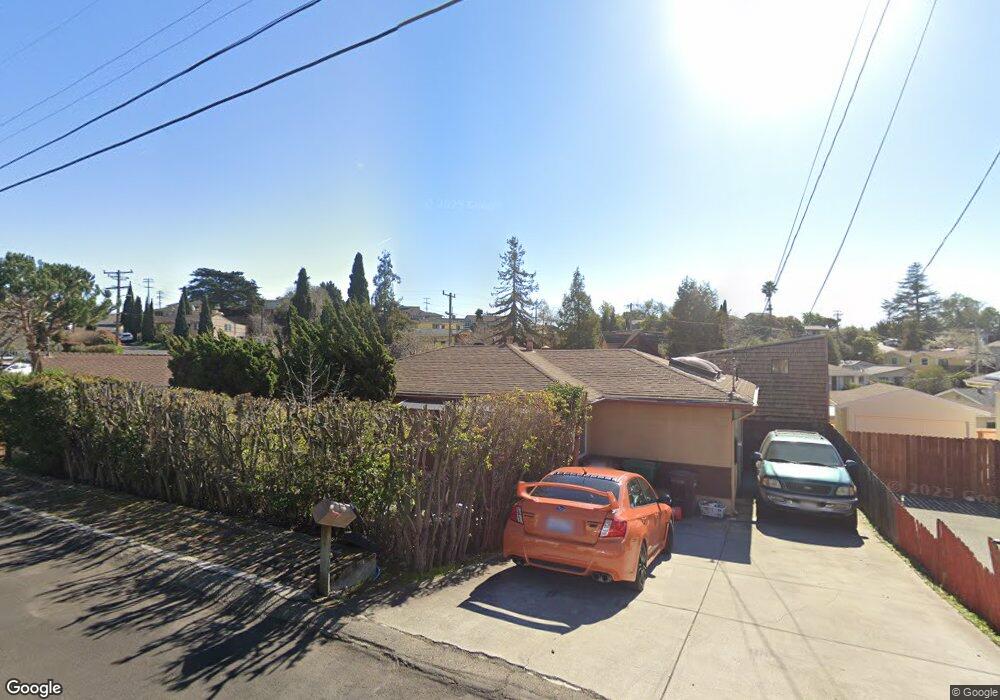
14645 Darius Way San Leandro, CA 94578
Bay-O-Vista NeighborhoodEstimated Value: $658,000 - $691,000
2
Beds
1
Bath
768
Sq Ft
$886/Sq Ft
Est. Value
About This Home
This home is located at 14645 Darius Way, San Leandro, CA 94578 and is currently estimated at $680,284, approximately $885 per square foot. 14645 Darius Way is a home located in Alameda County with nearby schools including Jefferson Elementary School, Bancroft Middle School, and San Leandro High School.
Ownership History
Date
Name
Owned For
Owner Type
Purchase Details
Closed on
Sep 1, 2021
Sold by
Larsen Kenneth C and Munlin Joyce C
Bought by
Ibal Rincon Pablo and Ibal Rincon Humberto
Current Estimated Value
Home Financials for this Owner
Home Financials are based on the most recent Mortgage that was taken out on this home.
Original Mortgage
$620,000
Outstanding Balance
$563,312
Interest Rate
2.7%
Mortgage Type
New Conventional
Estimated Equity
$116,972
Purchase Details
Closed on
Jan 20, 2010
Sold by
Munlin Joyce C and Larsen Kenneth C
Bought by
Larsen Kenneth C and Munlin Joyce C
Home Financials for this Owner
Home Financials are based on the most recent Mortgage that was taken out on this home.
Original Mortgage
$165,000
Interest Rate
4.91%
Mortgage Type
New Conventional
Create a Home Valuation Report for This Property
The Home Valuation Report is an in-depth analysis detailing your home's value as well as a comparison with similar homes in the area
Home Values in the Area
Average Home Value in this Area
Purchase History
| Date | Buyer | Sale Price | Title Company |
|---|---|---|---|
| Ibal Rincon Pablo | $665,000 | Chicago Title Company | |
| Larsen Kenneth C | -- | Chicago Title Company |
Source: Public Records
Mortgage History
| Date | Status | Borrower | Loan Amount |
|---|---|---|---|
| Open | Ibal Rincon Pablo | $620,000 | |
| Previous Owner | Larsen Kenneth C | $165,000 |
Source: Public Records
Tax History Compared to Growth
Tax History
| Year | Tax Paid | Tax Assessment Tax Assessment Total Assessment is a certain percentage of the fair market value that is determined by local assessors to be the total taxable value of land and additions on the property. | Land | Improvement |
|---|---|---|---|---|
| 2025 | $9,190 | $705,697 | $211,709 | $493,988 |
| 2024 | $9,190 | $691,865 | $207,559 | $484,306 |
| 2023 | $9,213 | $678,300 | $203,490 | $474,810 |
| 2022 | $8,939 | $665,000 | $199,500 | $465,500 |
| 2021 | $3,858 | $259,454 | $77,836 | $181,618 |
| 2020 | $3,755 | $256,794 | $77,038 | $179,756 |
| 2019 | $3,635 | $251,758 | $75,527 | $176,231 |
| 2018 | $3,511 | $246,822 | $74,046 | $172,776 |
| 2017 | $3,459 | $241,983 | $72,595 | $169,388 |
| 2016 | $3,272 | $237,240 | $71,172 | $166,068 |
| 2015 | $3,208 | $233,677 | $70,103 | $163,574 |
| 2014 | $3,102 | $229,101 | $68,730 | $160,371 |
Source: Public Records
Map
Nearby Homes
- 1939 Placer Dr
- 14683 Midland Rd
- 0 Saturn Dr
- 2290 Upland Rd
- 2230 Sol St
- 2724 Benedict Dr
- 14960 Portofino Cir
- 1293 Vistagrand Dr
- 14972 Lark St
- 14955 Lark St
- 14625 Bancroft Ave
- 14850 Donna St
- 14101 E 14th St Unit 306
- 2132 Longview Dr
- 2153 Lakeview Dr
- 1426 153rd Ave
- 15683 Liberty St
- 1253 139th Ave
- 1876 Benedict Dr
- 1203 147th Ave
- 14657 Darius Way
- 14633 Darius Way
- 2071 Howe Dr
- 2087 Howe Dr
- 2061 Howe Dr
- 14619 Darius Way
- 2051 Howe Dr
- 14646 Darius Way
- 0 Howe Dr Unit 40769153
- 0 Howe Dr Unit 40951020
- 14622 Darius Way
- 14660 Darius Way
- 2080 Howe Dr
- 14670 Darius Way
- 2041 Howe Dr
- 2071 Joan Dr
- 14682 Darius Way
- 14609 Darius Way
- 2061 Joan Dr
- 14694 Darius Way