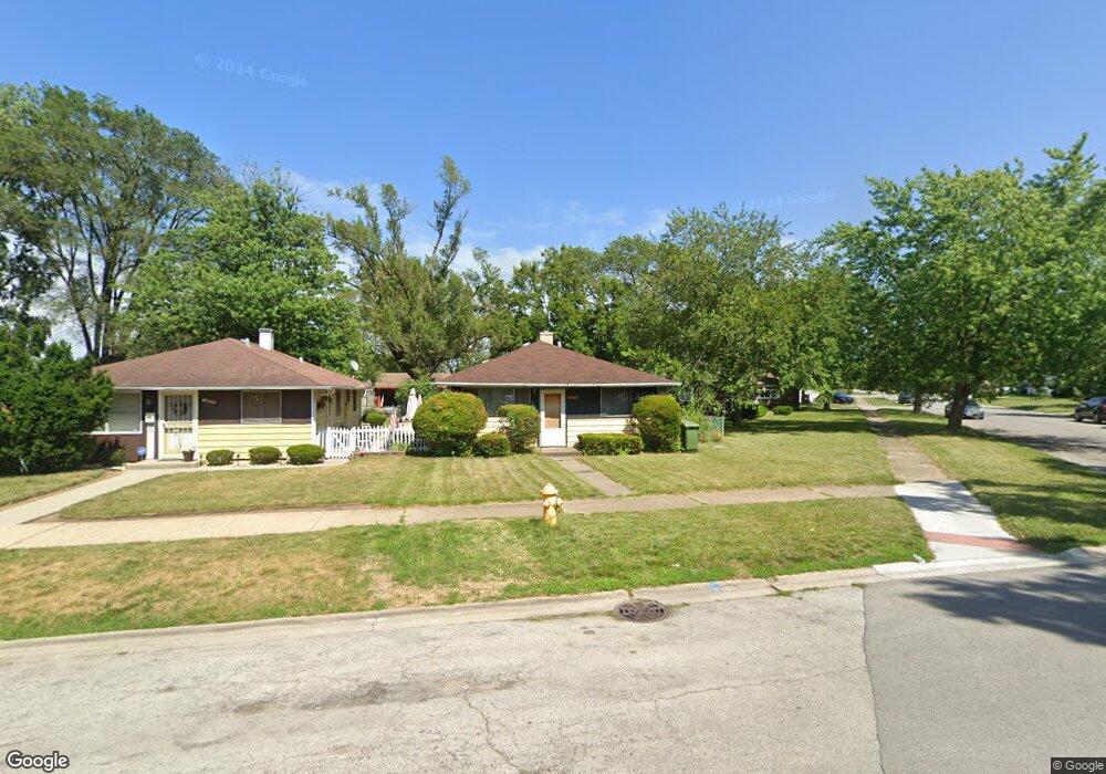
14649 University Ave Dolton, IL 60419
Estimated Value: $140,403 - $162,000
4
Beds
1
Bath
1,200
Sq Ft
$127/Sq Ft
Est. Value
About This Home
This home is located at 14649 University Ave, Dolton, IL 60419 and is currently estimated at $152,351, approximately $126 per square foot. 14649 University Ave is a home located in Cook County with nearby schools including Berger-Vandenberg Elementary School, Creative Communications Academy, and School Of Fine Arts Academy.
Ownership History
Date
Name
Owned For
Owner Type
Purchase Details
Closed on
May 9, 2006
Sold by
Gilbert Aaron A
Bought by
Alabi Sule
Current Estimated Value
Home Financials for this Owner
Home Financials are based on the most recent Mortgage that was taken out on this home.
Original Mortgage
$90,900
Outstanding Balance
$58,832
Interest Rate
8.55%
Mortgage Type
Unknown
Estimated Equity
$93,519
Purchase Details
Closed on
Feb 20, 2004
Sold by
Gilbert Edgar
Bought by
Gilbert Aaron A
Home Financials for this Owner
Home Financials are based on the most recent Mortgage that was taken out on this home.
Original Mortgage
$79,000
Interest Rate
5.74%
Mortgage Type
Unknown
Purchase Details
Closed on
Aug 7, 2003
Sold by
Bank One Na
Bought by
Gilbert Edgar
Home Financials for this Owner
Home Financials are based on the most recent Mortgage that was taken out on this home.
Original Mortgage
$50,000
Interest Rate
6.44%
Mortgage Type
Unknown
Purchase Details
Closed on
Sep 13, 2002
Sold by
Lee Sharon D
Bought by
Bank One Na
Purchase Details
Closed on
Oct 14, 1999
Sold by
Interstate Bank
Bought by
Lee Sharon D
Home Financials for this Owner
Home Financials are based on the most recent Mortgage that was taken out on this home.
Original Mortgage
$59,400
Interest Rate
11.62%
Purchase Details
Closed on
Nov 19, 1997
Sold by
Interstate Bank Of Oak Forest Tr #94 & 226
Bought by
Taylor Dorothy
Purchase Details
Closed on
Feb 28, 1997
Sold by
Tynan Timothy and Tynan Brigid
Bought by
Interstate Bank Of Oak Forest and Trust #94-226
Purchase Details
Closed on
Aug 25, 1995
Sold by
Tynan Tim
Bought by
Tynan Timothy and Tynan Brigid
Home Financials for this Owner
Home Financials are based on the most recent Mortgage that was taken out on this home.
Original Mortgage
$42,750
Interest Rate
7.8%
Purchase Details
Closed on
Aug 3, 1995
Sold by
Hud
Bought by
Tynan Tim
Home Financials for this Owner
Home Financials are based on the most recent Mortgage that was taken out on this home.
Original Mortgage
$42,750
Interest Rate
7.8%
Create a Home Valuation Report for This Property
The Home Valuation Report is an in-depth analysis detailing your home's value as well as a comparison with similar homes in the area
Home Values in the Area
Average Home Value in this Area
Purchase History
| Date | Buyer | Sale Price | Title Company |
|---|---|---|---|
| Alabi Sule | $101,000 | First American Title | |
| Gilbert Aaron A | $79,000 | Atgf Inc | |
| Gilbert Edgar | -- | 1St American Title | |
| Bank One Na | -- | 1St American Title | |
| Lee Sharon D | $70,000 | -- | |
| Taylor Dorothy | $69,900 | Attorneys Natl Title Network | |
| Interstate Bank Of Oak Forest | -- | Lawyers Title Insurance Corp | |
| Tynan Timothy | -- | Attorneys Natl Title Network | |
| Tynan Tim | -- | Attorneys Natl Title Network |
Source: Public Records
Mortgage History
| Date | Status | Borrower | Loan Amount |
|---|---|---|---|
| Open | Alabi Sule | $90,900 | |
| Previous Owner | Gilbert Aaron A | $79,000 | |
| Previous Owner | Gilbert Edgar | $50,000 | |
| Previous Owner | Lee Sharon D | $59,400 | |
| Previous Owner | Tynan Timothy | $42,750 | |
| Closed | Taylor Dorothy | -- | |
| Closed | Lee Sharon D | $9,185 |
Source: Public Records
Tax History Compared to Growth
Tax History
| Year | Tax Paid | Tax Assessment Tax Assessment Total Assessment is a certain percentage of the fair market value that is determined by local assessors to be the total taxable value of land and additions on the property. | Land | Improvement |
|---|---|---|---|---|
| 2024 | $3,207 | $9,000 | $2,091 | $6,909 |
| 2023 | $3,754 | $9,000 | $2,091 | $6,909 |
| 2022 | $3,754 | $8,607 | $1,845 | $6,762 |
| 2021 | $3,633 | $8,606 | $1,845 | $6,761 |
| 2020 | $3,541 | $8,606 | $1,845 | $6,761 |
| 2019 | $2,105 | $6,316 | $1,722 | $4,594 |
| 2018 | $2,092 | $6,316 | $1,722 | $4,594 |
| 2017 | $2,020 | $6,316 | $1,722 | $4,594 |
| 2016 | $2,289 | $6,088 | $1,599 | $4,489 |
| 2015 | $2,134 | $6,088 | $1,599 | $4,489 |
| 2014 | $2,140 | $6,088 | $1,599 | $4,489 |
| 2013 | $2,286 | $6,638 | $1,599 | $5,039 |
Source: Public Records
Map
Nearby Homes
- 14708 Shepard Dr
- 14720 Shepard Dr
- 14635 Woodlawn Ave
- 14700 Avalon Ave
- 14619 Minerva Ave
- 14761 Lincoln Ave
- 14814 Woodlawn Ave
- 14534 Woodlawn Ave
- 14737 Kimbark Ave
- 14634 Kenwood Ave
- 14622 Kenwood Ave
- 14644 Ellis Ave
- 14728 Kenwood Ave
- 14637 Kenwood Ave
- 14447 University Ave
- 14640 Ingleside Ave
- 14911 Woodlawn Ave
- 14429 Minerva Ave
- 14808 Dorchester Ave
- 14519 Kenwood Ave
- 14645 University Ave
- 14679 Shepard Dr
- 14641 University Ave
- 14646 Woodlawn Ave
- 14650 Woodlawn Ave
- 14642 Woodlawn Ave
- 14642 Woodlawn Ave
- 14704 Woodlawn Ave
- 14704 Woodlawn Ave
- 14633 University Ave
- 14704 Shepard Dr
- 14702 Shepard Dr
- 14638 Woodlawn Ave
- 14638 Woodlawn Ave
- 14665 Shepard Dr
- 14700 Shepard Dr
- 14631 University Ave
- 14712 Shepard Dr
- 14711 Shepard Dr