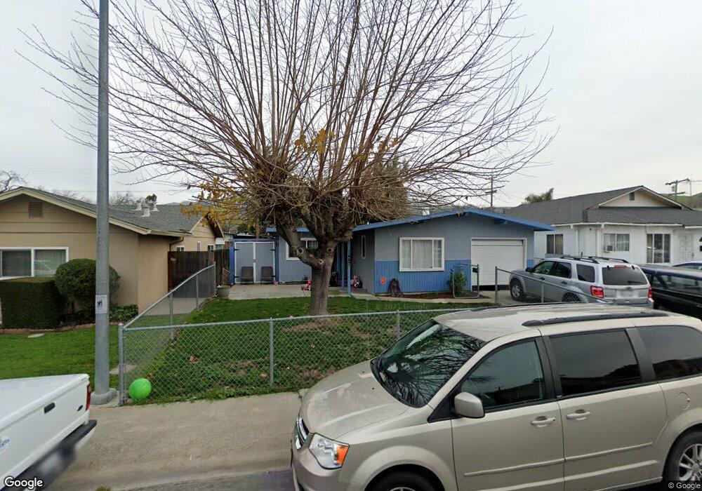
1467 Ashland Dr Milpitas, CA 95035
Estimated Value: $1,083,000 - $1,327,047
About This Home
This home is located at 1467 Ashland Dr, Milpitas, CA 95035 and is currently estimated at $1,213,262, approximately $1,051 per square foot. 1467 Ashland Dr is a home located in Santa Clara County with nearby schools including Alexander Rose Elementary School, Robert Randall Elementary School, and Rancho Milpitas Middle School.
Ownership History
We collect this data history from publicly available records. To have your information removed, we recommend requesting removal directly through your county’s website.
Purchase Details
Home Financials for this Owner
Home Financials are based on the most recent Mortgage that was taken out on this home.Purchase Details
Home Financials for this Owner
Home Financials are based on the most recent Mortgage that was taken out on this home.Home Values in the Area
Average Home Value in this Area
Purchase History
We collect this data history from publicly available records. To have your information removed, we recommend requesting removal directly through your county’s website.
| Date | Buyer | Sale Price | Title Company |
|---|---|---|---|
| -- | Chicago Title Company | ||
| -- | Chicago Title |
Mortgage History
We collect this data history from publicly available records. To have your information removed, we recommend requesting removal directly through your county’s website.
| Date | Status | Borrower | Loan Amount |
|---|---|---|---|
| Closed | $50,000 | ||
| Closed | $324,000 |
Tax History
We collect this data history from publicly available records. To have your information removed, we recommend requesting removal directly through your county’s website.
| Year | Tax Paid | Tax Assessment Tax Assessment Total Assessment is a certain percentage of the fair market value that is determined by local assessors to be the total taxable value of land and additions on the property. | Land | Improvement |
|---|---|---|---|---|
| 2025 | $1,009 | $72,946 | $24,920 | $48,026 |
| 2024 | $1,009 | $71,517 | $24,432 | $47,085 |
| 2023 | $1,003 | $70,115 | $23,953 | $46,162 |
| 2022 | $1,002 | $68,741 | $23,484 | $45,257 |
| 2021 | $986 | $67,394 | $23,024 | $44,370 |
| 2020 | $970 | $66,704 | $22,788 | $43,916 |
| 2019 | $961 | $65,397 | $22,342 | $43,055 |
| 2018 | $921 | $64,115 | $21,904 | $42,211 |
| 2017 | $909 | $62,859 | $21,475 | $41,384 |
| 2016 | $868 | $61,627 | $21,054 | $40,573 |
| 2015 | $858 | $60,702 | $20,738 | $39,964 |
| 2014 | $818 | $59,514 | $20,332 | $39,182 |
Map
- 160 Roswell Dr
- 397 S Park Victoria Dr
- 476 Dempsey Rd Unit 277
- 436 Dempsey Rd Unit 238
- 475 Stulman Dr
- 375 Dempsey Rd
- 1394 Glacier Dr
- 1163 Park Grove Dr
- 292 Falcato Dr
- 1490 Olympic Dr
- 2115 Pedro Ave
- 1260 Glacier Dr
- 122 Piedmont Rd
- 908 Smith Ln
- 2222 Lacey Dr
- 1332 Mount Shasta Ave
- 1402 Stemel Way
- 1995 Old Calaveras Rd
- 642 Aberdeen Way
- 2375 Old Calaveras Rd
- 1466 Ashland Dr
- 1460 Ashland Dr
- 1472 Ashland Dr
- 1454 Ashland Dr
- 1478 Ashland Dr
- 1455 Saturn Ct
- 1449 Saturn Ct
- 1461 Saturn Ct
- 1448 Ashland Dr
- 0 Land Only Rd Unit ML81057637
- 0 Land Only Rd Unit ML81218779
- 0 Land Only Rd Unit ML81851932
- 1443 Saturn Ct
- 1484 Ashland Dr
- 1467 Saturn Ct
- 1473 Ashland Dr
- 1437 Saturn Ct
- 1479 Ashland Dr
- 1461 Ashland Dr
- 1440 Ashland Dr
Ask me questions while you tour the home.