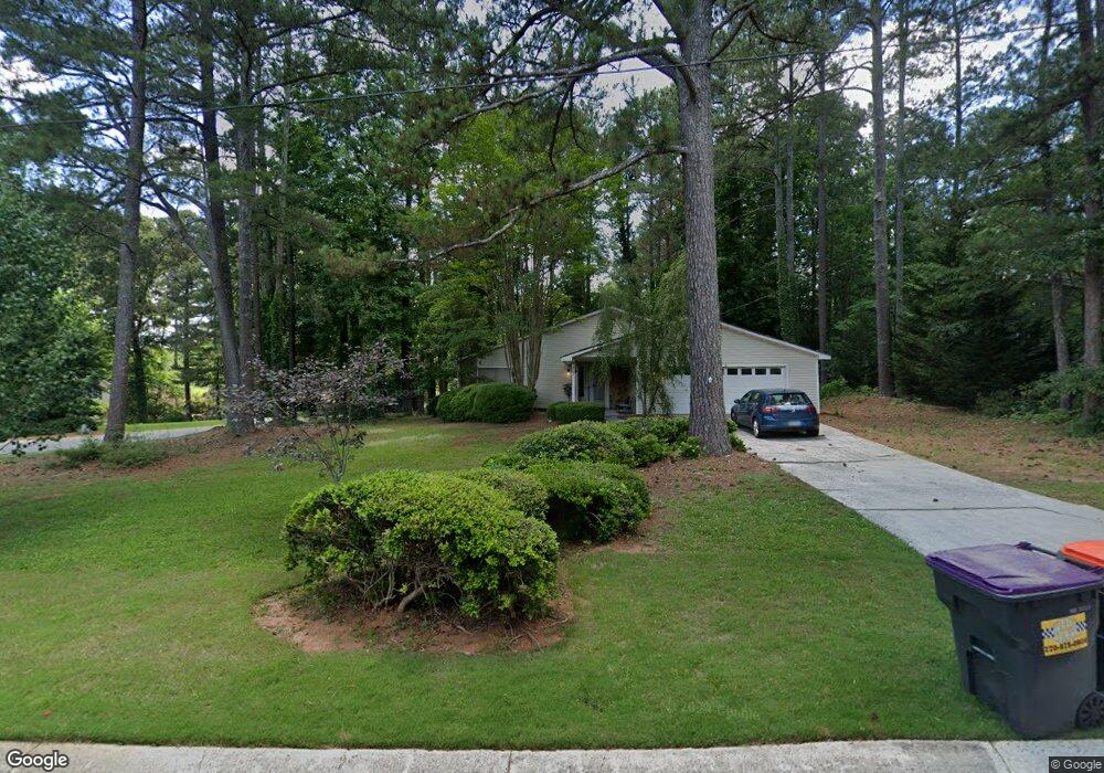
1467 Barnacle St Marietta, GA 30066
Sandy Plains NeighborhoodEstimated Value: $325,000 - $393,000
3
Beds
2
Baths
1,890
Sq Ft
$195/Sq Ft
Est. Value
About This Home
This home is located at 1467 Barnacle St, Marietta, GA 30066 and is currently estimated at $368,780, approximately $195 per square foot. 1467 Barnacle St is a home located in Cobb County with nearby schools including Nicholson Elementary School, McCleskey Middle School, and The Garden School.
Ownership History
Date
Name
Owned For
Owner Type
Purchase Details
Closed on
Nov 29, 2017
Sold by
Thomas Linda A
Bought by
Thomas Linda A and Schroer Andrea M
Current Estimated Value
Purchase Details
Closed on
May 27, 1998
Sold by
Drew Carol A
Bought by
Werley Linda A
Home Financials for this Owner
Home Financials are based on the most recent Mortgage that was taken out on this home.
Original Mortgage
$83,000
Interest Rate
7.14%
Mortgage Type
New Conventional
Purchase Details
Closed on
Sep 26, 1997
Sold by
Smith Richard S
Bought by
Drew Carol A
Home Financials for this Owner
Home Financials are based on the most recent Mortgage that was taken out on this home.
Original Mortgage
$85,200
Interest Rate
7.55%
Mortgage Type
New Conventional
Create a Home Valuation Report for This Property
The Home Valuation Report is an in-depth analysis detailing your home's value as well as a comparison with similar homes in the area
Home Values in the Area
Average Home Value in this Area
Purchase History
| Date | Buyer | Sale Price | Title Company |
|---|---|---|---|
| Thomas Linda A | $162,000 | -- | |
| Werley Linda A | $110,000 | -- | |
| Drew Carol A | $106,500 | -- |
Source: Public Records
Mortgage History
| Date | Status | Borrower | Loan Amount |
|---|---|---|---|
| Previous Owner | Werley Linda A | $83,000 | |
| Previous Owner | Drew Carol A | $85,200 |
Source: Public Records
Tax History Compared to Growth
Tax History
| Year | Tax Paid | Tax Assessment Tax Assessment Total Assessment is a certain percentage of the fair market value that is determined by local assessors to be the total taxable value of land and additions on the property. | Land | Improvement |
|---|---|---|---|---|
| 2025 | $4,259 | $141,340 | $33,600 | $107,740 |
| 2024 | $4,261 | $141,340 | $33,600 | $107,740 |
| 2023 | $3,983 | $132,096 | $33,600 | $98,496 |
| 2022 | $2,999 | $98,800 | $24,000 | $74,800 |
| 2021 | $2,999 | $98,800 | $24,000 | $74,800 |
| 2020 | $2,696 | $88,816 | $19,200 | $69,616 |
| 2019 | $2,696 | $88,816 | $19,200 | $69,616 |
| 2018 | $2,244 | $73,952 | $19,200 | $54,752 |
| 2017 | $1,770 | $61,568 | $19,200 | $42,368 |
| 2016 | $1,770 | $61,568 | $19,200 | $42,368 |
| 2015 | $1,312 | $44,548 | $18,400 | $26,148 |
| 2014 | $1,324 | $44,548 | $0 | $0 |
Source: Public Records
Map
Nearby Homes
- 4422 Inlet Rd
- 4413 Inlet Rd
- 4262 Inlet Rd
- 1528 Forest Trace
- 4758 Jamerson Forest Cir
- 1634 Barrier Rd
- 1740 Latour Dr NE
- 4314 Keheley Lake Ct NE
- 1513 Jamerson Landing
- 4281 Keheley Lake Dr NE
- 4680 Jamerson Forest Pkwy
- 1765 Blackwillow Dr
- 4181 Keheley Dr NE
- 1718 Christie Dr NE
- 2899 Treeside Terrace
- 4509 N Bay Ct
- 4816 Olde Mill Dr
- 1849 Service Dr NE
- 1473 Barnacle St
- 1452 Barnacle St
- 1446 Barnacle St
- 1477 Barnacle St
- 4396 Whitecap Rd
- 1468 Barnacle St
- 1468 Barnacle St
- 1468 Barnacle St Unit 1468
- 1472 Barnacle St
- 4406 Whitecap Rd
- 1464 Barnacle St
- 1458 Barnacle St
- 4386 Whitecap Rd
- 0 Barnacle St Unit 8380345
- 4416 Whitecap Rd
- 1478 Barnacle St
- 1483 Barnacle St
- 0 Whitecap Rd Unit 8493529
- 0 Whitecap Rd Unit 8924946
- 0 Whitecap Rd Unit 3193367