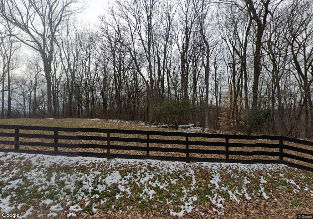
1467 Campbell Rd Goodlettsville, TN 37072
Estimated Value: $519,000 - $1,065,468
4
Beds
2
Baths
3,273
Sq Ft
$240/Sq Ft
Est. Value
About This Home
This home is located at 1467 Campbell Rd, Goodlettsville, TN 37072 and is currently estimated at $786,489, approximately $240 per square foot. 1467 Campbell Rd is a home located in Davidson County with nearby schools including Old Center Elementary, Goodlettsville Middle School, and Hunters Lane Comprehensive High School.
Ownership History
Date
Name
Owned For
Owner Type
Purchase Details
Closed on
Dec 26, 2018
Sold by
Ly Mau T and Ly Alberta R
Bought by
Ly Mau T and Ly Alberta R
Current Estimated Value
Purchase Details
Closed on
Sep 30, 2004
Sold by
Mazzone Margaret C
Bought by
Ly Mau T and Ly Alberta R
Home Financials for this Owner
Home Financials are based on the most recent Mortgage that was taken out on this home.
Original Mortgage
$250,000
Outstanding Balance
$114,177
Interest Rate
4.62%
Mortgage Type
Purchase Money Mortgage
Estimated Equity
$672,312
Create a Home Valuation Report for This Property
The Home Valuation Report is an in-depth analysis detailing your home's value as well as a comparison with similar homes in the area
Home Values in the Area
Average Home Value in this Area
Purchase History
| Date | Buyer | Sale Price | Title Company |
|---|---|---|---|
| Ly Mau T | -- | None Available | |
| Ly Mau T | $425,000 | -- |
Source: Public Records
Mortgage History
| Date | Status | Borrower | Loan Amount |
|---|---|---|---|
| Open | Ly Mau T | $250,000 |
Source: Public Records
Tax History Compared to Growth
Tax History
| Year | Tax Paid | Tax Assessment Tax Assessment Total Assessment is a certain percentage of the fair market value that is determined by local assessors to be the total taxable value of land and additions on the property. | Land | Improvement |
|---|---|---|---|---|
| 2024 | $3,409 | $116,680 | $18,555 | $98,125 |
| 2023 | $3,409 | $116,680 | $18,555 | $98,125 |
| 2022 | $4,420 | $116,680 | $18,555 | $98,125 |
| 2021 | $3,446 | $116,680 | $18,555 | $98,125 |
| 2020 | $3,438 | $90,747 | $15,322 | $75,425 |
| 2019 | $2,500 | $90,747 | $15,322 | $75,425 |
| 2018 | $2,385 | $86,584 | $11,159 | $75,425 |
| 2017 | $2,385 | $86,584 | $11,159 | $75,425 |
| 2016 | $2,198 | $56,018 | $10,668 | $45,350 |
| 2015 | $2,198 | $56,018 | $10,668 | $45,350 |
| 2014 | $2,198 | $56,018 | $10,668 | $45,350 |
Source: Public Records
Map
Nearby Homes
- 1295 Campbell Rd
- 2344 Misty Creek Ct
- 1598 Hunters Ln
- 2584 Misty Creek Ct
- 2846 Misty Creek Ct
- 1765 Misty Creek Ct
- 2269 Misty Creek Ct
- 2140 Creekland View Blvd
- 4290 Brick Church Pike
- 0 Lowes Ln
- 4849 Brick Church Pike
- 2021 Creekland View Blvd
- The Stanford Plan at Heritage Creek
- The Heartland Plan at Heritage Creek
- The Winston Plan at Heritage Creek
- The Colburn Plan at Heritage Creek
- The Sutherland Plan at Heritage Creek
- 4112 Marydale Dr
- 4104 Marydale Dr
- 4794 Brick Church Pike
- 1457 Campbell Rd
- 1472 Campbell Rd
- 1498 Campbell Rd
- 1515 Campbell Rd
- 1452 Campbell Rd
- 1510 Campbell Rd
- 1525 Campbell Rd
- 1516 Campbell Rd
- 1557 Jackson Rd
- 1444 Campbell Rd
- 1526 Campbell Rd
- 1437 Campbell Rd
- 1541 Campbell Rd
- 1439 Campbell Rd
- 1561 Jackson Rd
- 1434 Campbell Rd
- 1441 Campbell Rd
- 4489 Jackson Rd
- 1538 Campbell Rd
- 4487 Jackson Rd
