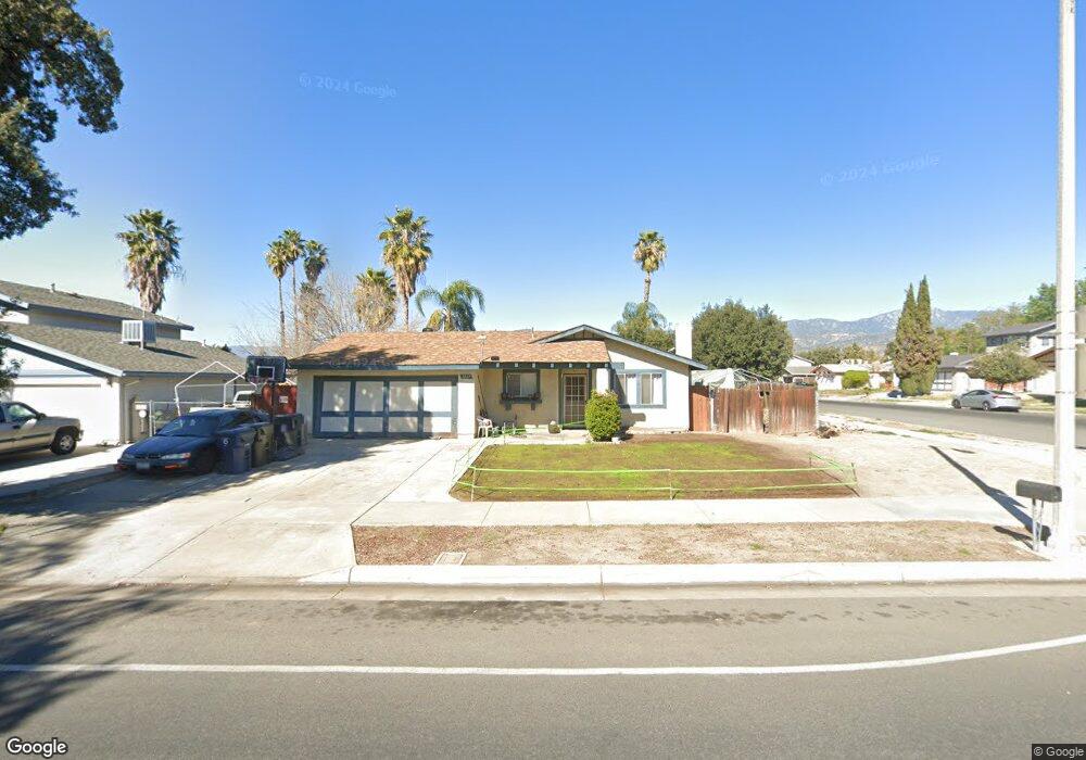
1467 E Brockton Ave Redlands, CA 92374
North Redlands NeighborhoodEstimated Value: $511,858 - $598,000
3
Beds
2
Baths
1,196
Sq Ft
$473/Sq Ft
Est. Value
About This Home
This home is located at 1467 E Brockton Ave, Redlands, CA 92374 and is currently estimated at $565,215, approximately $472 per square foot. 1467 E Brockton Ave is a home located in San Bernardino County with nearby schools including Judson & Brown Elementary School, Clement Middle School, and Redlands East Valley High School.
Ownership History
Date
Name
Owned For
Owner Type
Purchase Details
Closed on
Feb 2, 2004
Sold by
Schroeder Ralph and Schroeder Charlotte Ann
Bought by
Schroeder Ralph
Current Estimated Value
Home Financials for this Owner
Home Financials are based on the most recent Mortgage that was taken out on this home.
Original Mortgage
$153,021
Interest Rate
6.36%
Mortgage Type
New Conventional
Create a Home Valuation Report for This Property
The Home Valuation Report is an in-depth analysis detailing your home's value as well as a comparison with similar homes in the area
Home Values in the Area
Average Home Value in this Area
Purchase History
| Date | Buyer | Sale Price | Title Company |
|---|---|---|---|
| Schroeder Ralph | -- | Fidelity-Santa Ana |
Source: Public Records
Mortgage History
| Date | Status | Borrower | Loan Amount |
|---|---|---|---|
| Closed | Schroeder Ralph | $153,021 |
Source: Public Records
Tax History
| Year | Tax Paid | Tax Assessment Tax Assessment Total Assessment is a certain percentage of the fair market value that is determined by local assessors to be the total taxable value of land and additions on the property. | Land | Improvement |
|---|---|---|---|---|
| 2025 | $2,094 | $165,949 | $46,858 | $119,091 |
| 2024 | $1,957 | $162,695 | $45,939 | $116,756 |
| 2023 | $1,955 | $159,505 | $45,038 | $114,467 |
| 2022 | $1,927 | $156,378 | $44,155 | $112,223 |
| 2021 | $1,961 | $153,312 | $43,289 | $110,023 |
| 2020 | $1,933 | $151,740 | $42,845 | $108,895 |
| 2019 | $1,879 | $148,765 | $42,005 | $106,760 |
| 2018 | $1,833 | $145,848 | $41,181 | $104,667 |
| 2017 | $1,818 | $142,989 | $40,374 | $102,615 |
| 2016 | $1,798 | $140,185 | $39,582 | $100,603 |
| 2015 | $1,785 | $138,079 | $38,987 | $99,092 |
| 2014 | $1,753 | $135,374 | $38,223 | $97,151 |
Source: Public Records
Map
Nearby Homes
- 1617 Waterford Ave
- 616 N Lincoln St
- 1160 Via Ravenna
- 1226 Via Palermo
- 0 E Lugonia Ave
- 450 Judson St Unit 94
- 1528 Laramie Ave
- 1721 E Colton Ave Unit 33
- 1721 E Colton Ave Unit 106
- 0 E Colton Ave
- 1427 Laramie Ave
- 455 Judson St Unit 9
- 1574 Foothill Way
- 626 N Dearborn St Unit 150
- 626 N Dearborn St Unit 7
- 626 N Dearborn St
- 1251 E Lugonia Ave Unit 48
- 1251 E Lugonia Ave Unit 18
- 217 Judson St
- 1580 Lisa Ln
- 1463 E Brockton Ave
- 1470 Raemee Ave
- 1466 Raemee Ave
- 1459 E Brockton Ave
- 1100 N Lincoln St
- 1013 N Lincoln St
- 1104 N Lincoln St
- 1462 Raemee Ave
- 1464 E Brockton Ave
- 1108 N Lincoln St
- 1457 E Brockton Ave
- 1460 E Brockton Ave
- 1502 E Brockton Ave
- 1458 Raemee Ave
- 1112 N Lincoln St
- 1473 Raemee Ave
- 1467 Campus Ave
- 1456 E Brockton Ave
- 1469 Raemee Ave
- 1463 Campus Ave
Your Personal Tour Guide
Ask me questions while you tour the home.