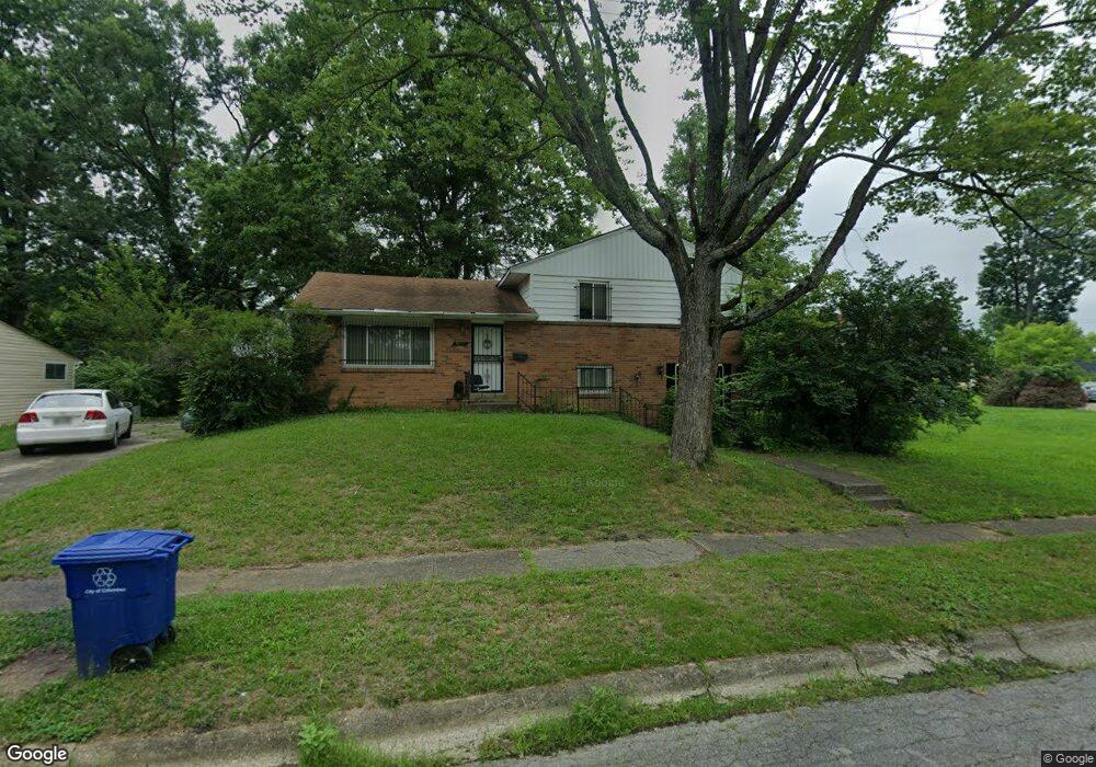
1467 Efner Dr Columbus, OH 43227
Shady Lane NeighborhoodEstimated Value: $220,000 - $242,000
3
Beds
2
Baths
1,579
Sq Ft
$146/Sq Ft
Est. Value
About This Home
This home is located at 1467 Efner Dr, Columbus, OH 43227 and is currently estimated at $230,413, approximately $145 per square foot. 1467 Efner Dr is a home located in Franklin County with nearby schools including Shady Lane Elementary School, Sherwood Middle School, and Walnut Ridge High School.
Ownership History
Date
Name
Owned For
Owner Type
Purchase Details
Closed on
Sep 30, 2003
Sold by
Flannery Thomas M and Flannery Beverly A
Bought by
Scott Miller Kirstin
Current Estimated Value
Home Financials for this Owner
Home Financials are based on the most recent Mortgage that was taken out on this home.
Original Mortgage
$110,269
Outstanding Balance
$50,780
Interest Rate
6.49%
Mortgage Type
FHA
Estimated Equity
$179,633
Purchase Details
Closed on
Jun 28, 1990
Bought by
Flannery Thomas M
Create a Home Valuation Report for This Property
The Home Valuation Report is an in-depth analysis detailing your home's value as well as a comparison with similar homes in the area
Home Values in the Area
Average Home Value in this Area
Purchase History
| Date | Buyer | Sale Price | Title Company |
|---|---|---|---|
| Scott Miller Kirstin | $112,000 | Real Living Title | |
| Flannery Thomas M | $70,000 | -- |
Source: Public Records
Mortgage History
| Date | Status | Borrower | Loan Amount |
|---|---|---|---|
| Open | Scott Miller Kirstin | $110,269 |
Source: Public Records
Tax History
| Year | Tax Paid | Tax Assessment Tax Assessment Total Assessment is a certain percentage of the fair market value that is determined by local assessors to be the total taxable value of land and additions on the property. | Land | Improvement |
|---|---|---|---|---|
| 2025 | $3,096 | $66,820 | $16,240 | $50,580 |
| 2024 | $3,096 | $66,820 | $16,240 | $50,580 |
| 2023 | $2,961 | $66,815 | $16,240 | $50,575 |
| 2022 | $1,885 | $36,340 | $7,390 | $28,950 |
| 2021 | $1,888 | $36,340 | $7,390 | $28,950 |
| 2020 | $1,891 | $36,340 | $7,390 | $28,950 |
| 2019 | $1,758 | $28,980 | $5,880 | $23,100 |
| 2018 | $1,727 | $28,980 | $5,880 | $23,100 |
| 2017 | $1,757 | $28,980 | $5,880 | $23,100 |
| 2016 | $1,871 | $28,250 | $5,740 | $22,510 |
| 2015 | $1,699 | $28,250 | $5,740 | $22,510 |
| 2014 | $1,703 | $28,250 | $5,740 | $22,510 |
| 2013 | $989 | $33,250 | $6,755 | $26,495 |
Source: Public Records
Map
Nearby Homes
- 1470 Efner Dr
- 1472 Blaine Dr
- 1320 Nancy Ln
- 4859 Folger Dr
- 1310 Manfeld Dr
- 1260 Country Club Rd
- 4991 Justin Rd
- 4677 E Livingston Ave
- 5368 Yorkshire Village Ln Unit B23
- 4701 Janis Dr
- 1211 Shady Lane Rd
- 1193 Marble Dr
- 1639 Shady Lane Rd
- 4636 Dundee Ave
- 1612 Simpson Dr
- 4649 Dundee Ave
- 5337 Ivyhurst Dr
- 1759 Lonsdale Rd
- 1243 Simpson Dr
- 1229 Simpson Dr
Your Personal Tour Guide
Ask me questions while you tour the home.