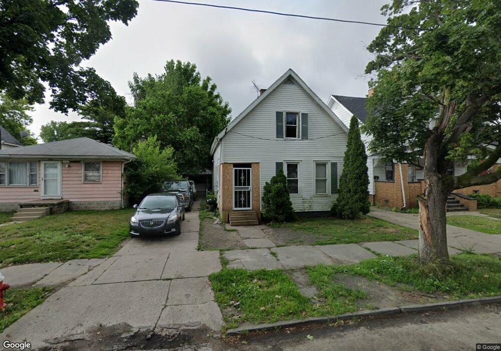
1467 Vance St Toledo, OH 43607
ONYX NeighborhoodEstimated Value: $51,000 - $68,928
2
Beds
1
Bath
1,395
Sq Ft
$41/Sq Ft
Est. Value
About This Home
This home is located at 1467 Vance St, Toledo, OH 43607 and is currently estimated at $57,482, approximately $41 per square foot. 1467 Vance St is a home located in Lucas County with nearby schools including Pickett Elementary School, Jesup W. Scott High School, and Explorers Academy.
Ownership History
Date
Name
Owned For
Owner Type
Purchase Details
Closed on
Nov 3, 2010
Sold by
Murphy Wendy L and Murphy Wendy
Bought by
Anderson Lionel D
Current Estimated Value
Purchase Details
Closed on
Sep 25, 2007
Sold by
Bank Of New York
Bought by
Murphy Wendy
Purchase Details
Closed on
Jul 27, 2007
Sold by
Michael Terry P
Bought by
Bank Of New York and Cwabs Series 00-01
Purchase Details
Closed on
Oct 19, 1998
Sold by
Lewis Lee R and Lewis Leroy
Bought by
Micheal Terry P and Micheal Yolanda D Willis
Home Financials for this Owner
Home Financials are based on the most recent Mortgage that was taken out on this home.
Original Mortgage
$12,500
Interest Rate
6.88%
Create a Home Valuation Report for This Property
The Home Valuation Report is an in-depth analysis detailing your home's value as well as a comparison with similar homes in the area
Home Values in the Area
Average Home Value in this Area
Purchase History
| Date | Buyer | Sale Price | Title Company |
|---|---|---|---|
| Anderson Lionel D | $5,000 | None Available | |
| Murphy Wendy | $3,500 | Resource Title Agency Inc | |
| Bank Of New York | $12,000 | None Available | |
| Micheal Terry P | $7,500 | First Service Title Agency I |
Source: Public Records
Mortgage History
| Date | Status | Borrower | Loan Amount |
|---|---|---|---|
| Previous Owner | Micheal Terry P | $12,500 |
Source: Public Records
Tax History Compared to Growth
Tax History
| Year | Tax Paid | Tax Assessment Tax Assessment Total Assessment is a certain percentage of the fair market value that is determined by local assessors to be the total taxable value of land and additions on the property. | Land | Improvement |
|---|---|---|---|---|
| 2024 | $13,724 | $7,280 | $1,855 | $5,425 |
| 2023 | $637 | $7,455 | $2,170 | $5,285 |
| 2022 | $641 | $7,455 | $2,170 | $5,285 |
| 2021 | $639 | $7,455 | $2,170 | $5,285 |
| 2020 | $675 | $7,105 | $2,065 | $5,040 |
| 2019 | $676 | $7,105 | $2,065 | $5,040 |
| 2018 | $662 | $7,105 | $2,065 | $5,040 |
| 2017 | $3,727 | $6,965 | $2,030 | $4,935 |
| 2016 | $2,876 | $19,900 | $5,800 | $14,100 |
| 2015 | $670 | $19,900 | $5,800 | $14,100 |
| 2014 | $676 | $6,970 | $2,030 | $4,940 |
| 2013 | $450 | $6,970 | $2,030 | $4,940 |
Source: Public Records
Map
Nearby Homes
- 1434 Nebraska Ave
- 721 N Detroit Ave
- 1532 Nebraska Ave
- 1422 Tecumseh St
- 323 Pulaski St
- 1534 Indiana Ave
- 1273 Nebraska Ave
- 1267 Nebraska Ave
- 1255 Nebraska Ave
- 1133 Blum St
- 1155 Pinewood Ave
- 1627 Fernwood Ave
- 1123 Hamilton St
- 605 Waverly Ave
- 1264 Fernwood Ave
- 1015 Belmont Ave
- 1131 Montrose Ave
- 1420 Upton Ave
- 1819 Oakwood Ave
- 1940 Crosswell Place