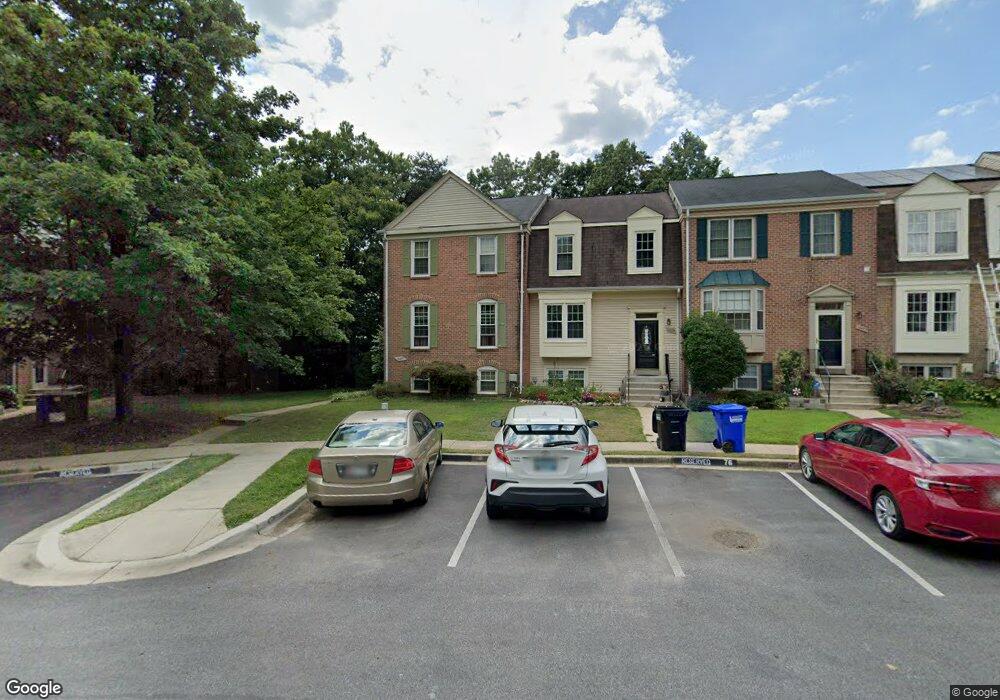
14679 Cambridge Cir Laurel, MD 20707
Estimated Value: $400,000 - $427,000
Studio
4
Baths
1,456
Sq Ft
$285/Sq Ft
Est. Value
About This Home
This home is located at 14679 Cambridge Cir, Laurel, MD 20707 and is currently estimated at $415,624, approximately $285 per square foot. 14679 Cambridge Cir is a home located in Prince George's County with nearby schools including Vansville Elementary School, Martin Luther King Jr. Middle School, and Laurel High School.
Ownership History
Date
Name
Owned For
Owner Type
Purchase Details
Closed on
Dec 28, 2001
Sold by
Brewer Robert W
Bought by
Leggett Jacqueline J
Current Estimated Value
Purchase Details
Closed on
Feb 13, 1995
Sold by
Palermo Karen L
Bought by
Brewer Robert W
Home Financials for this Owner
Home Financials are based on the most recent Mortgage that was taken out on this home.
Original Mortgage
$145,860
Interest Rate
9.18%
Purchase Details
Closed on
Apr 12, 1988
Sold by
Milton Company
Bought by
Palermo Richard A and Palermo Karen L
Create a Home Valuation Report for This Property
The Home Valuation Report is an in-depth analysis detailing your home's value as well as a comparison with similar homes in the area
Home Values in the Area
Average Home Value in this Area
Purchase History
| Date | Buyer | Sale Price | Title Company |
|---|---|---|---|
| Leggett Jacqueline J | $159,900 | -- | |
| Brewer Robert W | $143,000 | -- | |
| Palermo Richard A | $149,800 | -- |
Source: Public Records
Mortgage History
| Date | Status | Borrower | Loan Amount |
|---|---|---|---|
| Previous Owner | Brewer Robert W | $145,860 |
Source: Public Records
Tax History
| Year | Tax Paid | Tax Assessment Tax Assessment Total Assessment is a certain percentage of the fair market value that is determined by local assessors to be the total taxable value of land and additions on the property. | Land | Improvement |
|---|---|---|---|---|
| 2025 | $5,761 | $362,200 | $90,000 | $272,200 |
| 2024 | $5,761 | $338,133 | -- | -- |
| 2023 | $5,179 | $314,067 | $0 | $0 |
| 2022 | $4,782 | $290,000 | $75,000 | $215,000 |
| 2021 | $7,454 | $289,067 | $0 | $0 |
| 2020 | $7,271 | $288,133 | $0 | $0 |
| 2019 | $7,608 | $287,200 | $100,000 | $187,200 |
| 2018 | $4,595 | $269,000 | $0 | $0 |
| 2017 | $7,329 | $250,800 | $0 | $0 |
| 2016 | -- | $232,600 | $0 | $0 |
| 2015 | $3,307 | $224,100 | $0 | $0 |
| 2014 | $3,307 | $215,600 | $0 | $0 |
Source: Public Records
Map
Nearby Homes
- 7816 Aylesford Ln
- 14633 Cambridge Cir
- 8030 Ashford Blvd
- 14314 S Shore Ct
- 14811 Belle Ami Dr
- 7804 Killbarron Dr
- 14235 Jib St Unit 12
- 14308 Bowsprit Ln Unit 11
- 14229 Jib St Unit 12
- 7712 Erica Ln
- 7902 Bayshore Dr Unit 32
- 7907 Crows Nest Ct Unit 11
- 14053 Vista Dr
- 14229 Bowsprit Ln Unit 501
- 7604 Finglas Ct
- 14114 Oxford Dr
- 14044 Vista Dr
- 14119 Bowsprit Ln Unit 312
- 1202 Marton St
- 8218 Londonderry Ct
- 14677 Cambridge Cir
- 14675 Cambridge Cir
- 14673 Cambridge Cir
- 14501 Cambridge Cir
- 14671 Cambridge Cir
- 14503 Cambridge Cir
- 14669 Cambridge Cir
- 14505 Cambridge Cir
- 14507 Cambridge Cir
- 7914 Ashford Blvd
- 7916 Ashford Blvd
- 7918 Ashford Blvd
- 14509 Cambridge Cir
- 7920 Ashford Blvd
- 14502 Cambridge Cir
- 14667 Cambridge Cir
- 7922 Ashford Blvd
- 14664 Cambridge Cir
- 14504 Cambridge Cir
- 14511 Cambridge Cir
Your Personal Tour Guide
Ask me questions while you tour the home.