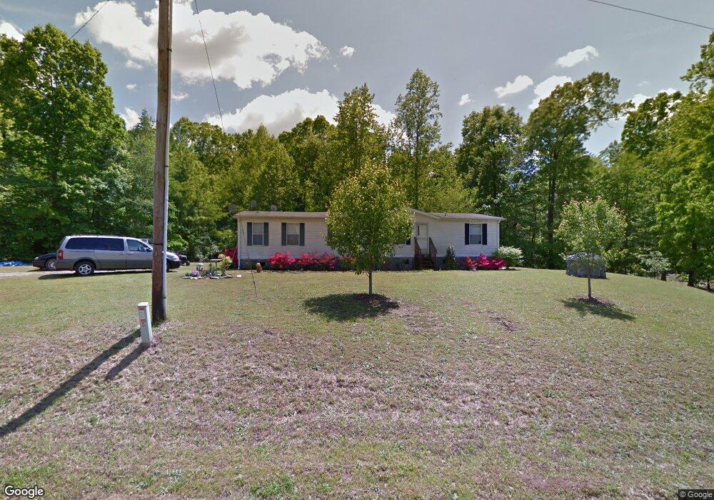
1468 Atlantic Ln Lincolnton, NC 28092
Estimated Value: $166,000 - $199,474
3
Beds
2
Baths
1,512
Sq Ft
$123/Sq Ft
Est. Value
About This Home
This home is located at 1468 Atlantic Ln, Lincolnton, NC 28092 and is currently estimated at $185,369, approximately $122 per square foot. 1468 Atlantic Ln is a home located in Lincoln County with nearby schools including G.E. Massey Elementary School, Lincolnton Middle School, and Lincolnton High School.
Ownership History
Date
Name
Owned For
Owner Type
Purchase Details
Closed on
Nov 22, 2004
Bought by
Peralta Juan Andrews
Current Estimated Value
Purchase Details
Closed on
May 24, 2004
Bought by
Peoples Bank
Purchase Details
Closed on
Oct 18, 2002
Bought by
Howell Jerry M and Howell Tammy E
Purchase Details
Closed on
Apr 18, 2002
Bought by
Gates, Craig P Inc
Purchase Details
Closed on
Aug 16, 1993
Bought by
Gales Debra Helms and Justice Randall
Create a Home Valuation Report for This Property
The Home Valuation Report is an in-depth analysis detailing your home's value as well as a comparison with similar homes in the area
Home Values in the Area
Average Home Value in this Area
Purchase History
| Date | Buyer | Sale Price | Title Company |
|---|---|---|---|
| Peralta Juan Andrews | $65,000 | -- | |
| Peoples Bank | $64,100 | -- | |
| Howell Jerry M | $79,900 | -- | |
| Gates, Craig P Inc | $12,000 | -- | |
| Gales Debra Helms | $7,000 | -- |
Source: Public Records
Tax History Compared to Growth
Tax History
| Year | Tax Paid | Tax Assessment Tax Assessment Total Assessment is a certain percentage of the fair market value that is determined by local assessors to be the total taxable value of land and additions on the property. | Land | Improvement |
|---|---|---|---|---|
| 2025 | $873 | $117,453 | $22,556 | $94,897 |
| 2024 | $853 | $117,453 | $22,556 | $94,897 |
| 2023 | $848 | $117,453 | $22,556 | $94,897 |
| 2022 | $677 | $75,584 | $18,464 | $57,120 |
| 2021 | $677 | $75,584 | $18,464 | $57,120 |
| 2020 | $547 | $75,584 | $18,464 | $57,120 |
| 2019 | $532 | $75,584 | $18,464 | $57,120 |
| 2018 | $535 | $60,659 | $14,841 | $45,818 |
| 2017 | $431 | $60,659 | $14,841 | $45,818 |
| 2016 | $431 | $60,659 | $14,841 | $45,818 |
| 2015 | $509 | $60,659 | $14,841 | $45,818 |
| 2014 | $610 | $76,404 | $20,012 | $56,392 |
Source: Public Records
Map
Nearby Homes
- 1212 Salem Church Rd
- 1065 Salem Church Rd
- 00 Smith Farm Rd
- 1585 Salem Church Rd
- 2415 Heavner Rd
- 755 Victory Grove Church Rd
- 2319 Tin Mine Rd
- 1035 Timberlane Dr
- 1055 Fairway Ln
- 2503 Tin Mine Rd
- 170 Whitesides Dr
- 864 Calloway Rd
- 726 Lithia Inn Rd Unit 5
- 140 Shields Dr
- 718 Lithia Inn Rd Unit 7
- 1811 Country Club Rd Unit 4
- 1809 Country Club Rd Unit 3
- 155 Golden Aster Dr
- 1807 Country Club Rd Unit 2
- 000 Southside Rd
- 1489 Baldwin Ln
- Lot 2 Atlantic Ln
- 1840 Baldwin Ln
- 1498 Atlantic Ln
- 1828 Baldwin Ln
- 1510 Atlantic Ln
- 1507 Atlantic Ln
- 1812 Baldwin Ln
- 1831 S Industrial Park Rd
- 1520 Atlantic Ln
- 1809 S Industrial Park Rd
- 1793 S Industrial Park Rd
- 1543 Atlantic Ln
- 1293 Baldwin Ln
- 1552 Atlantic Ln
- 1773 Baldwin Ln
- 1553 Atlantic Ln
- 1782 Baldwin Ln
- 1737 S Industrial Park Rd
- 1814 Catalina Ln