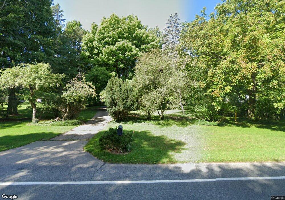
1468 Miami Rd Benton Harbor, MI 49022
Fair Plain NeighborhoodEstimated Value: $463,000 - $627,000
4
Beds
5
Baths
3,778
Sq Ft
$144/Sq Ft
Est. Value
About This Home
This home is located at 1468 Miami Rd, Benton Harbor, MI 49022 and is currently estimated at $542,199, approximately $143 per square foot. 1468 Miami Rd is a home located in Berrien County with nearby schools including Fair Plain Middle School, Benton Harbor High School, and Benton Harbor Charter School Academy.
Ownership History
Date
Name
Owned For
Owner Type
Purchase Details
Closed on
Apr 20, 2006
Sold by
Mitchell William B and Forbes Patricia
Bought by
Vazquez Victor C and Gordon Frantzreb J
Current Estimated Value
Home Financials for this Owner
Home Financials are based on the most recent Mortgage that was taken out on this home.
Original Mortgage
$270,000
Outstanding Balance
$155,428
Interest Rate
6.39%
Mortgage Type
Fannie Mae Freddie Mac
Estimated Equity
$386,771
Purchase Details
Closed on
Sep 9, 2004
Sold by
Fifth Third Bank
Bought by
Mitchell William B and Mitchell Julia E
Purchase Details
Closed on
Feb 26, 1996
Create a Home Valuation Report for This Property
The Home Valuation Report is an in-depth analysis detailing your home's value as well as a comparison with similar homes in the area
Home Values in the Area
Average Home Value in this Area
Purchase History
| Date | Buyer | Sale Price | Title Company |
|---|---|---|---|
| Vazquez Victor C | -- | Metropolitan Title Company | |
| Mitchell William B | -- | -- | |
| -- | $100 | -- |
Source: Public Records
Mortgage History
| Date | Status | Borrower | Loan Amount |
|---|---|---|---|
| Open | Vazquez Victor C | $270,000 |
Source: Public Records
Tax History Compared to Growth
Tax History
| Year | Tax Paid | Tax Assessment Tax Assessment Total Assessment is a certain percentage of the fair market value that is determined by local assessors to be the total taxable value of land and additions on the property. | Land | Improvement |
|---|---|---|---|---|
| 2025 | $6,356 | $271,200 | $0 | $0 |
| 2024 | $3,838 | $218,400 | $0 | $0 |
| 2023 | $3,734 | $224,800 | $0 | $0 |
| 2022 | $3,556 | $213,000 | $0 | $0 |
| 2021 | $5,697 | $202,500 | $51,300 | $151,200 |
| 2020 | $5,305 | $204,300 | $0 | $0 |
| 2019 | $5,063 | $189,800 | $51,300 | $138,500 |
| 2018 | $4,837 | $189,800 | $0 | $0 |
| 2017 | $4,771 | $188,200 | $0 | $0 |
| 2016 | $4,641 | $184,700 | $0 | $0 |
| 2015 | $4,630 | $181,500 | $0 | $0 |
| 2014 | $3,015 | $178,700 | $0 | $0 |
Source: Public Records
Map
Nearby Homes
- 513 N Ottawa Rd
- 1565 Miami Rd
- 1510 Moccasin Trail
- 1525 Moccasin Trail
- 379 Western Ave
- 484 W Napier Ave
- 424 W Napier Ave
- 2108 Langley Ave
- 2019 Sunset Dr
- 304 W May St
- 235 Fisk Rd
- 2206 Morton Ave
- 1000 Riverview Dr Unit 11
- 1803 Heath Ct
- 1311 Wolcott Ave
- 202 Searles Ave
- 1100 Highland Ave
- 1235 Colfax Ave
- 1325 Michigan Ave
- 180 Emery Ave
- 1478 Miami Rd
- 1494 Miami Rd
- 1460 Miami Rd
- 1460 Miami Rd
- 1508 Miami Rd
- 1450 Blackhawk Trail
- 1475 Miami Rd
- 1465 Miami Rd
- 1440 Miami Rd
- 1471 Blackhawk Trail
- 1520 Miami Rd
- 1442 Miami Rd
- 1491 Blackhawk Trail
- 1459 Miami Rd
- 1515 Miami Rd
- 1451 Blackhawk Trail
- 1449 Miami Rd
- 590 N Ottawa Rd
- 1509 Miami Rd
- 1501 Blackhawk Trail