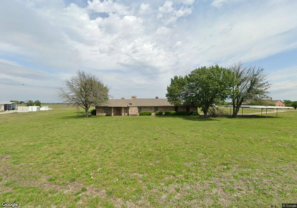
1468 Rockport Rd Sherman, TX 75092
Estimated Value: $377,611 - $619,000
--
Bed
--
Bath
1,980
Sq Ft
$252/Sq Ft
Est. Value
About This Home
This home is located at 1468 Rockport Rd, Sherman, TX 75092 and is currently estimated at $498,306, approximately $251 per square foot. 1468 Rockport Rd is a home located in Grayson County with nearby schools including Summit Hill Elementary School, Howe Middle School, and Howe High School.
Ownership History
Date
Name
Owned For
Owner Type
Purchase Details
Closed on
Nov 26, 2018
Sold by
Hayes Edna Lynn
Bought by
Hayes Edna Lynn
Current Estimated Value
Home Financials for this Owner
Home Financials are based on the most recent Mortgage that was taken out on this home.
Original Mortgage
$104,000
Interest Rate
4.8%
Mortgage Type
Stand Alone First
Create a Home Valuation Report for This Property
The Home Valuation Report is an in-depth analysis detailing your home's value as well as a comparison with similar homes in the area
Home Values in the Area
Average Home Value in this Area
Purchase History
| Date | Buyer | Sale Price | Title Company |
|---|---|---|---|
| Hayes Edna Lynn | -- | Wfg Lender Services |
Source: Public Records
Mortgage History
| Date | Status | Borrower | Loan Amount |
|---|---|---|---|
| Closed | Hayes Edna Lynn | $104,000 |
Source: Public Records
Tax History Compared to Growth
Tax History
| Year | Tax Paid | Tax Assessment Tax Assessment Total Assessment is a certain percentage of the fair market value that is determined by local assessors to be the total taxable value of land and additions on the property. | Land | Improvement |
|---|---|---|---|---|
| 2025 | $666 | $360,817 | -- | -- |
| 2024 | $4,920 | $328,015 | $0 | $0 |
| 2023 | $665 | $298,195 | $0 | $0 |
| 2022 | $4,678 | $271,086 | $0 | $0 |
| 2021 | $4,787 | $267,278 | $82,500 | $184,778 |
| 2020 | $4,551 | $284,367 | $81,750 | $202,617 |
| 2019 | $4,429 | $254,852 | $61,500 | $193,352 |
| 2018 | $3,782 | $227,026 | $45,000 | $182,026 |
| 2017 | $3,478 | $198,763 | $45,000 | $153,763 |
| 2016 | $3,162 | $167,983 | $28,500 | $139,483 |
| 2015 | $0 | $139,110 | $28,500 | $110,610 |
| 2014 | -- | $144,560 | $28,500 | $116,060 |
Source: Public Records
Map
Nearby Homes
- 1171 Rockport Rd
- 3356 Old Dorchester Rd
- 6514 Joyce Ln
- 00 Primrose Ln
- 3410 Old Dorchester Rd
- TBD Taylor Rd
- 2615 Rolling Hills Dr
- 586 Pleasant Home Rd
- Shepherd Dr
- 2164 Ford Rd
- 100 Acres Texas 289
- 1401 Cimmaron Trail
- 2164 Midway Acres Dr
- 1404 Tejas Dr
- TBD 15 AC Flanary Rd
- 3302 Hanan St
- 3508 Ballam St
- 6164 State Highway 289
- 6935 S Farm To Market Road 1417
- 2401 Southridge Ln
- 1499 Rockport Rd
- 18 Green Rd
- 1513 Rockport Rd
- 1563 Rockport Rd
- 57 Green Rd
- 95 Green Rd
- 130 Green Rd
- 117 Greenleaf
- 1627 Rockport Rd
- TBD Greene Or Laughlin Rd
- 214 Green Rd
- 223 Green Rd
- 3069 Old Dorchester Rd
- 186 Green Rd
- 3125 Old Dorchester Rd
- 847 Rockport Rd
- 1021 Rockport Rd
- 251 Green Rd
- 238 Kennedy Rd
- 180 Kennedy Rd