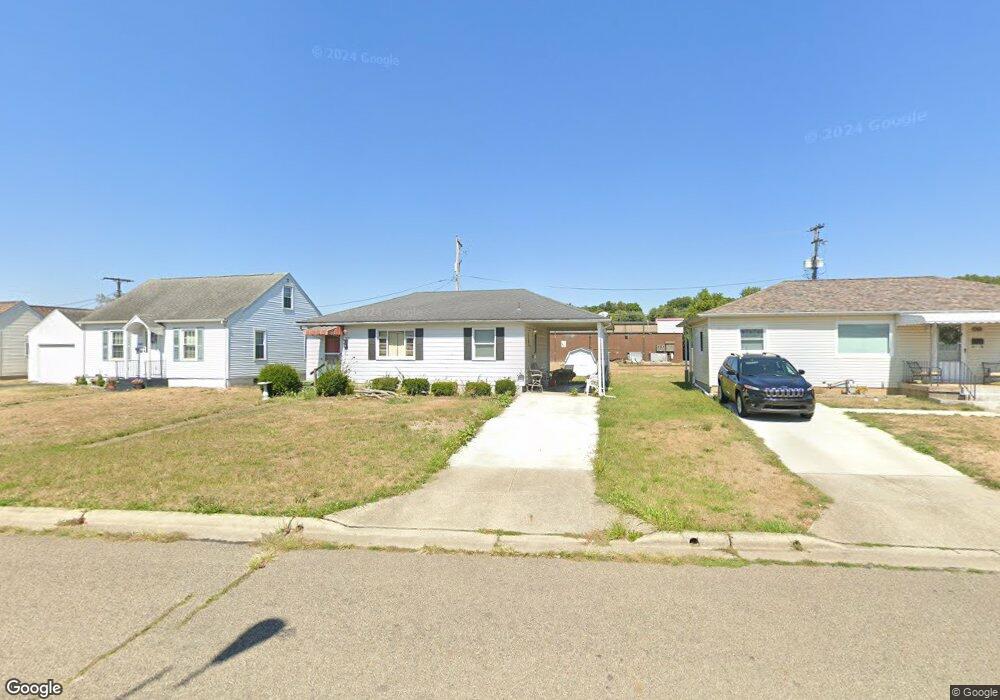
1469 E Chestnut St Lancaster, OH 43130
Estimated Value: $134,710 - $178,000
2
Beds
1
Bath
816
Sq Ft
$186/Sq Ft
Est. Value
About This Home
This home is located at 1469 E Chestnut St, Lancaster, OH 43130 and is currently estimated at $151,428, approximately $185 per square foot. 1469 E Chestnut St is a home located in Fairfield County with nearby schools including Thomas Ewing Junior High School, Lancaster High School, and St Mary Elementary School.
Ownership History
Date
Name
Owned For
Owner Type
Purchase Details
Closed on
Jan 26, 2007
Sold by
Clark Ronald and Wells Fargo Bank Na
Bought by
Heritage Rentals Llc
Current Estimated Value
Purchase Details
Closed on
Mar 6, 2003
Sold by
Tobin Ann and Tobin Anne
Bought by
Clark Ronald and Powers Stefanie
Home Financials for this Owner
Home Financials are based on the most recent Mortgage that was taken out on this home.
Original Mortgage
$79,250
Interest Rate
8.37%
Mortgage Type
Purchase Money Mortgage
Create a Home Valuation Report for This Property
The Home Valuation Report is an in-depth analysis detailing your home's value as well as a comparison with similar homes in the area
Home Values in the Area
Average Home Value in this Area
Purchase History
| Date | Buyer | Sale Price | Title Company |
|---|---|---|---|
| Heritage Rentals Llc | $64,700 | Attorney | |
| Clark Ronald | $79,300 | Title First Agency Inc |
Source: Public Records
Mortgage History
| Date | Status | Borrower | Loan Amount |
|---|---|---|---|
| Previous Owner | Clark Ronald | $79,250 |
Source: Public Records
Tax History
| Year | Tax Paid | Tax Assessment Tax Assessment Total Assessment is a certain percentage of the fair market value that is determined by local assessors to be the total taxable value of land and additions on the property. | Land | Improvement |
|---|---|---|---|---|
| 2025 | $1,909 | $38,230 | $9,480 | $28,750 |
| 2024 | $1,909 | $21,230 | $6,810 | $14,420 |
| 2023 | $789 | $21,230 | $6,810 | $14,420 |
| 2022 | $794 | $21,230 | $6,810 | $14,420 |
| 2021 | $1,066 | $26,730 | $6,810 | $19,920 |
| 2020 | $998 | $26,730 | $6,810 | $19,920 |
| 2019 | $949 | $26,730 | $6,810 | $19,920 |
| 2018 | $916 | $20,240 | $6,810 | $13,430 |
| 2017 | $916 | $24,490 | $10,310 | $14,180 |
| 2016 | $892 | $24,490 | $10,310 | $14,180 |
| 2015 | $916 | $24,420 | $10,310 | $14,110 |
| 2014 | $873 | $24,420 | $10,310 | $14,110 |
| 2013 | $873 | $24,420 | $10,310 | $14,110 |
Source: Public Records
Map
Nearby Homes
- 1403 E Chestnut St
- 138 N Ewing St
- 0 E Main St Unit 225040917
- 403 S Ewing St
- 274 Kanawha Rd
- 1106 E Walnut St
- 1113 E Locust St
- 630 Sheridan Dr
- 627 Sheridan Dr
- 869 E Mulberry St
- 641 Sheridan Dr
- 1281 E Allen St
- 844 E Wheeling St
- 859 E Mulberry St
- 834 E Main St
- 1376 Frederick St
- 621 Harding Ave
- 105 Dogwood Ln
- 1254 E Fair Ave
- 612 Oakwood Ave
- 1463 E Chestnut St
- 1475 E Chestnut St
- 1501 E Chestnut St
- 1459 E Chestnut St
- 1472 E Chestnut St
- 1453 E Chestnut St
- 1500 E Chestnut St
- 1500 E Main St
- 1450 E Chestnut St
- 1512 E Chestnut St
- 1445 E Chestnut St
- 1443 E Chestnut St
- 1440 E Main St
- 1434 E Main St
- 1435 E Chestnut St
- 1465 E Main St
- 1431 E Chestnut St
- 1430 E Main St
- 1438 E Chestnut St
- 1423 E Chestnut St
Your Personal Tour Guide
Ask me questions while you tour the home.