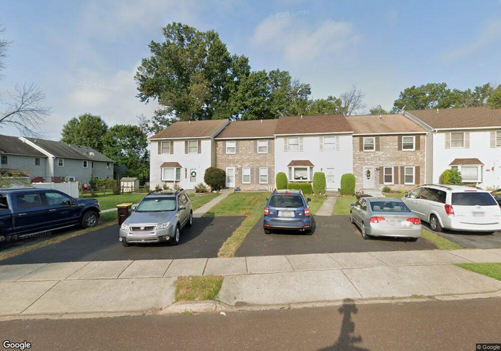
1469 Needham Cir Hatfield, PA 19440
Estimated Value: $304,000 - $384,000
3
Beds
2
Baths
1,672
Sq Ft
$214/Sq Ft
Est. Value
About This Home
This home is located at 1469 Needham Cir, Hatfield, PA 19440 and is currently estimated at $357,477, approximately $213 per square foot. 1469 Needham Cir is a home located in Montgomery County with nearby schools including A. M. Kulp Elementary School, Pennfield Middle School, and North Penn Senior High School.
Ownership History
Date
Name
Owned For
Owner Type
Purchase Details
Closed on
Jan 21, 2005
Sold by
Bowman Harold R
Bought by
Fisher Mark D
Current Estimated Value
Home Financials for this Owner
Home Financials are based on the most recent Mortgage that was taken out on this home.
Original Mortgage
$95,000
Outstanding Balance
$48,027
Interest Rate
5.77%
Mortgage Type
New Conventional
Estimated Equity
$309,450
Create a Home Valuation Report for This Property
The Home Valuation Report is an in-depth analysis detailing your home's value as well as a comparison with similar homes in the area
Home Values in the Area
Average Home Value in this Area
Purchase History
| Date | Buyer | Sale Price | Title Company |
|---|---|---|---|
| Fisher Mark D | $152,500 | -- |
Source: Public Records
Mortgage History
| Date | Status | Borrower | Loan Amount |
|---|---|---|---|
| Open | Fisher Mark D | $95,000 |
Source: Public Records
Tax History Compared to Growth
Tax History
| Year | Tax Paid | Tax Assessment Tax Assessment Total Assessment is a certain percentage of the fair market value that is determined by local assessors to be the total taxable value of land and additions on the property. | Land | Improvement |
|---|---|---|---|---|
| 2025 | $4,310 | $107,660 | $14,200 | $93,460 |
| 2024 | $4,310 | $107,660 | $14,200 | $93,460 |
| 2023 | $4,125 | $107,660 | $14,200 | $93,460 |
| 2022 | $3,991 | $107,660 | $14,200 | $93,460 |
| 2021 | $3,878 | $107,660 | $14,200 | $93,460 |
| 2020 | $3,786 | $107,660 | $14,200 | $93,460 |
| 2019 | $3,723 | $107,660 | $14,200 | $93,460 |
| 2018 | $3,722 | $107,660 | $14,200 | $93,460 |
| 2017 | $3,581 | $107,660 | $14,200 | $93,460 |
| 2016 | $3,538 | $107,660 | $14,200 | $93,460 |
| 2015 | $3,397 | $107,660 | $14,200 | $93,460 |
| 2014 | $3,397 | $107,660 | $14,200 | $93,460 |
Source: Public Records
Map
Nearby Homes
- 6 Township Line Rd
- 0 Fairmount St
- 2674 Anthony Dr
- 2317 E Orvilla Rd
- 165 Township Line Rd
- 2943 E Walnut St Unit 59
- 732 Cowpath Rd
- 36 N Maple Ave
- 83 Bethlehem Pike Unit 1213 FIRESTONE
- 83 Bethlehem Pike Unit 1106- MADISON PLAN
- 105 Barry Rd
- 1744 Lydia Dr
- 303 Wynstone Ct
- 3 Diamond St
- 1226 Cabin Rd
- 1306 W Orvilla Rd
- 417 Wynstone Ct
- 105 S Main St
- 138 Diamond St Unit 31
- 1212 Revere Dr
- 1465 Needham Cir
- 1461 Needham Cir
- 1457 Needham Cir
- 3310 Roxbury Rd
- 3306 Roxbury Rd
- 1453 Needham Cir
- 3314 Roxbury Rd
- 3296 Roxbury Rd
- 3318 Roxbury Rd
- 0 Needham Cir
- 3292 Roxbury Rd
- 1445 Needham Cir
- 3288 Roxbury Rd
- 1462 Needham Cir
- 1466 Needham Cir
- 1441 Needham Cir
- 3284 Roxbury Rd
- 1470 Needham Cir
- 1437 Needham Cir
- 3280 Roxbury Rd