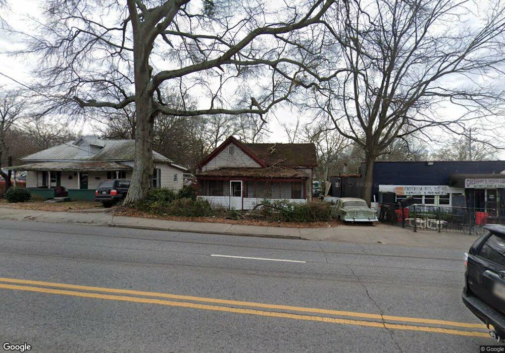
1469 W Broad St Athens, GA 30606
Baxter NeighborhoodEstimated Value: $182,000 - $258,000
--
Bed
--
Bath
1,454
Sq Ft
$152/Sq Ft
Est. Value
About This Home
This home is located at 1469 W Broad St, Athens, GA 30606 and is currently estimated at $221,559, approximately $152 per square foot. 1469 W Broad St is a home located in Clarke County with nearby schools including Bettye Henderson Holston Elementary School, Clarke Middle School, and Clarke Central High School.
Ownership History
Date
Name
Owned For
Owner Type
Purchase Details
Closed on
May 14, 2018
Sold by
Williams Dorsey
Bought by
Athens Land Trust Inc
Current Estimated Value
Purchase Details
Closed on
Oct 12, 2010
Sold by
Johnson Howard and Bell Watson J
Bought by
Williams Dorsey
Purchase Details
Closed on
Aug 1, 1961
Sold by
Mathis W A
Bought by
Johnson Howard and Bell Watson Johnso
Create a Home Valuation Report for This Property
The Home Valuation Report is an in-depth analysis detailing your home's value as well as a comparison with similar homes in the area
Home Values in the Area
Average Home Value in this Area
Purchase History
| Date | Buyer | Sale Price | Title Company |
|---|---|---|---|
| Athens Land Trust Inc | $45,000 | -- | |
| Williams Dorsey | $66,300 | -- | |
| Johnson Howard | -- | -- |
Source: Public Records
Tax History Compared to Growth
Tax History
| Year | Tax Paid | Tax Assessment Tax Assessment Total Assessment is a certain percentage of the fair market value that is determined by local assessors to be the total taxable value of land and additions on the property. | Land | Improvement |
|---|---|---|---|---|
| 2025 | $1,763 | $56,791 | $16,720 | $40,071 |
| 2024 | $1,763 | $54,762 | $16,720 | $38,042 |
| 2023 | $1,711 | $52,734 | $16,720 | $36,014 |
| 2022 | $1,537 | $48,195 | $16,720 | $31,475 |
| 2021 | $1,288 | $38,224 | $15,840 | $22,384 |
| 2020 | $1,169 | $34,702 | $15,840 | $18,862 |
| 2019 | $611 | $24,223 | $15,840 | $8,383 |
| 2018 | $901 | $26,529 | $15,840 | $10,689 |
| 2017 | $901 | $26,529 | $15,840 | $10,689 |
| 2016 | $901 | $26,528 | $15,840 | $10,688 |
| 2015 | $902 | $26,528 | $15,840 | $10,688 |
| 2014 | $903 | $26,529 | $15,840 | $10,689 |
Source: Public Records
Map
Nearby Homes
- 1398 W Hancock Ave
- 1226 W Broad St
- 1198 W West Hancock Ave W
- 1196 W Hancock Ave Unit 1
- 597 Dearing St
- 480 N Billups St
- 525 King Ave
- 500 Dearing St Unit 6
- 283 King Ave
- 1055 Baxter St Unit 504
- 338 Springdale St
- 100 Crestview Cir
- 145 Sunset Dr
- 552 Cobb St
- 206 Fortson Dr
- 468 N Milledge Ave Unit 203
- 215 Holman Ave
- 224 Fortson Dr
- 105 Magnolia Terrace
- 265 Springdale St
- 1467 W Broad St
- 1457 W Broad St
- 1462 W Broad St Unit B
- 1460 W Broad St Unit A
- 1541 W Broad St
- 171 Paris St
- 160 Miller St
- 175 Paris St
- 170 Miller St
- 180 Miller St
- 802 Miller St
- 179 Paris St
- 198 Paris St
- 175 Miller St
- 265 Paris St
- 278 Paris St
- 1049 Campbell Ln
- 1367 W Broad St
- 1057 Campbell Ln
- 815 Campbell Ln