Estimated Value: $511,000 - $938,000
Studio
--
Bath
3,967
Sq Ft
$191/Sq Ft
Est. Value
About This Home
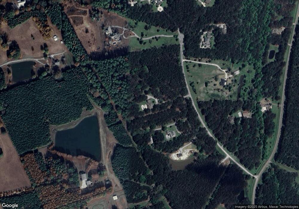
This home is located at 147 Anderson Station Rd, Flora, MS 39071 and is currently estimated at $758,741, approximately $191 per square foot. 147 Anderson Station Rd is a home located in Madison County with nearby schools including Mannsdale Elementary School, Germantown Middle School, and Germantown High School.
Ownership History
Date
Name
Owned For
Owner Type
Purchase Details
Closed on
Mar 17, 2017
Sold by
Flora Land & Timber Llc
Bought by
Eldridge Richard and Eldridge Kristi
Current Estimated Value
Home Financials for this Owner
Home Financials are based on the most recent Mortgage that was taken out on this home.
Original Mortgage
$345,893
Outstanding Balance
$287,183
Interest Rate
4.3%
Estimated Equity
$471,558
Purchase Details
Closed on
Jan 26, 2017
Sold by
Flora Land And Timber Llc
Bought by
Eldridge Richard T and Eidridge Kristi G
Home Financials for this Owner
Home Financials are based on the most recent Mortgage that was taken out on this home.
Original Mortgage
$345,893
Outstanding Balance
$287,183
Interest Rate
4.3%
Estimated Equity
$471,558
Create a Home Valuation Report for This Property
The Home Valuation Report is an in-depth analysis detailing your home's value as well as a comparison with similar homes in the area
Purchase History
| Date | Buyer | Sale Price | Title Company |
|---|---|---|---|
| Eldridge Richard | -- | -- | |
| Eldridge Richard T | -- | Crescent Title |
Source: Public Records
Mortgage History
| Date | Status | Borrower | Loan Amount |
|---|---|---|---|
| Open | Eldridge Richard | $345,893 | |
| Closed | Eldridge Richard | -- |
Source: Public Records
Tax History
| Year | Tax Paid | Tax Assessment Tax Assessment Total Assessment is a certain percentage of the fair market value that is determined by local assessors to be the total taxable value of land and additions on the property. | Land | Improvement |
|---|---|---|---|---|
| 2025 | $2,993 | $41,263 | $0 | $0 |
| 2024 | $2,993 | $41,263 | $0 | $0 |
| 2023 | $2,993 | $41,263 | $0 | $0 |
| 2022 | $2,993 | $41,263 | $0 | $0 |
| 2021 | $2,993 | $39,651 | $0 | $0 |
| 2020 | $3,392 | $39,651 | $0 | $0 |
| 2019 | $3,172 | $37,288 | $0 | $0 |
| 2018 | $3,172 | $37,288 | $0 | $0 |
| 2017 | -- | $36,589 | $0 | $0 |
| 2016 | -- | $36,589 | $0 | $0 |
| 2015 | $3,171 | $36,589 | $0 | $0 |
| 2014 | $3,088 | $35,708 | $0 | $0 |
Source: Public Records
Map
Nearby Homes
- 1454 Livingston Vernon Rd
- 0 Battmore Rd
- 0 Andover Dr Unit 4110959
- 0 Andover Dr Unit 4110849
- 0 Andover Dr Unit 4110848
- 0 Andover Dr Unit 4110877
- 0 Hannahlea Place
- 0 Lovorn Ct Unit 4109824
- 100 Stonebridge Dr
- 136 Trails End
- 136 Trails End Flor Unit a MS 39071
- 113 Trails End
- 309 Moonlight Hollow
- 0 Mccullough Ln Unit 4118771
- 0 Mccullough Ln Unit 4118761
- 0 Mccullough Ln Unit 4118769
- 0 Mccullough Ln Unit 4118760
- 138 Chestnut Hill Rd
- 97 Chestnut Hill Rd
- 177 Chestnut Hill Rd
- 133 Anderson Station Rd
- 179 Anderson Station Rd
- 000 Anderson Station Rd Unit 1
- 173 Anderson Station Rd
- 162 Anderson Station Rd
- 100 Anderson Station Rd
- 00001 Anderston Station Rd
- 0001 Anderson Station Rd
- 174 Anderson Station Rd
- 1414 Livingston Vernon Rd
- 294 Stokes Rd
- 264 Stokes Rd
- 7 Anderson St Unit LOT 7
- 7 Anderson St
- 170 Anderson Station Rd
- 326 Stokes Rd
- 210 Stokes Rd
- 1420 Livingston Vernon Rd
- 1388 Livingston Vernon Rd
- 188 Stokes Rd
