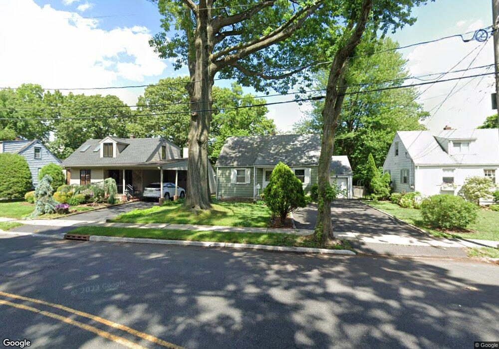
147 Baltusrol Way Springfield, NJ 07081
Estimated Value: $502,643 - $604,000
Studio
--
Bath
1,425
Sq Ft
$384/Sq Ft
Est. Value
About This Home
This home is located at 147 Baltusrol Way, Springfield, NJ 07081 and is currently estimated at $547,411, approximately $384 per square foot. 147 Baltusrol Way is a home located in Union County with nearby schools including Jonathan Dayton High School, St James The Apostle School, and The Winston School.
Ownership History
Date
Name
Owned For
Owner Type
Purchase Details
Closed on
Jan 18, 2019
Sold by
Barone Nicholas and The Estate Of Antoniette Baron
Bought by
Barone Nicholas
Current Estimated Value
Home Financials for this Owner
Home Financials are based on the most recent Mortgage that was taken out on this home.
Original Mortgage
$145,000
Outstanding Balance
$127,485
Interest Rate
4.6%
Mortgage Type
New Conventional
Estimated Equity
$419,926
Purchase Details
Closed on
Sep 29, 1989
Bought by
Barone Antoinette-Barone Nicholas
Create a Home Valuation Report for This Property
The Home Valuation Report is an in-depth analysis detailing your home's value as well as a comparison with similar homes in the area
Home Values in the Area
Average Home Value in this Area
Purchase History
| Date | Buyer | Sale Price | Title Company |
|---|---|---|---|
| Barone Nicholas | -- | Genuine Title Agency Llc | |
| Barone Antoinette-Barone Nicholas | $148,000 | -- |
Source: Public Records
Mortgage History
| Date | Status | Borrower | Loan Amount |
|---|---|---|---|
| Open | Barone Nicholas | $145,000 |
Source: Public Records
Tax History
| Year | Tax Paid | Tax Assessment Tax Assessment Total Assessment is a certain percentage of the fair market value that is determined by local assessors to be the total taxable value of land and additions on the property. | Land | Improvement |
|---|---|---|---|---|
| 2025 | $9,730 | $409,700 | $188,600 | $221,100 |
| 2024 | $9,571 | $409,700 | $188,600 | $221,100 |
| 2023 | $9,571 | $409,700 | $188,600 | $221,100 |
| 2022 | $8,886 | $409,700 | $188,600 | $221,100 |
| 2021 | $7,691 | $103,300 | $48,000 | $55,300 |
| 2020 | $7,571 | $103,300 | $48,000 | $55,300 |
| 2019 | $7,469 | $103,300 | $48,000 | $55,300 |
| 2018 | $7,334 | $103,300 | $48,000 | $55,300 |
| 2017 | $7,133 | $103,300 | $48,000 | $55,300 |
| 2016 | $6,994 | $103,300 | $48,000 | $55,300 |
| 2015 | $6,913 | $103,300 | $48,000 | $55,300 |
| 2014 | $6,783 | $103,300 | $48,000 | $55,300 |
Source: Public Records
Map
Nearby Homes
- 1A Troy Dr Unit A
- 21A Troy Dr
- 66 Springbrook Rd
- 4A Troy Dr Unit 27
- 145 Bryant Ave
- 10A Troy Dr Unit 10A
- 57C Troy Dr
- 445 Morris Ave Unit 14B
- 97B Troy Dr Unit B
- 28 Molter Ave
- 90C Troy Dr Unit C
- 8 Claremont Dr
- 14 Eton Place
- 46 Elmwood Place
- 66 Warwick Cir
- 24 Brook St
- 29 Keeler St
- 16 Tooker Ave
- 119 Wellington Ave
- 37-39 Edison Dr
- 143 Baltusrol Way
- 153 Baltusrol Way
- 137 Baltusrol Way
- 133 Baltusrol Way
- 150 Baltusrol Way
- 131 Baltusrol Way
- 136 Baltusrol Way
- 11 Woodcrest Cir
- 127 Baltusrol Way
- 132 Baltusrol Way
- 18 Woodcrest Cir
- 128 Baltusrol Way
- 123 Baltusrol Way
- 17 Woodcrest Cir
- 126 Baltusrol Way
- 26 Woodcrest Cir
- 119 Baltusrol Way
- 120 Baltusrol Way
- 32 Woodcrest Cir
- 21 Woodcrest Cir
Your Personal Tour Guide
Ask me questions while you tour the home.