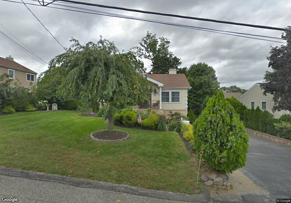
147 Broad St Hawthorne, NY 10532
Estimated Value: $671,000 - $757,206
3
Beds
2
Baths
1,394
Sq Ft
$510/Sq Ft
Est. Value
About This Home
This home is located at 147 Broad St, Hawthorne, NY 10532 and is currently estimated at $711,302, approximately $510 per square foot. 147 Broad St is a home located in Westchester County with nearby schools including Hawthorne Elementary School, Columbus Elementary School, and Westlake Middle School.
Ownership History
Date
Name
Owned For
Owner Type
Purchase Details
Closed on
Sep 22, 2003
Sold by
Iozzo Maria Teresa and Dechico Maria
Bought by
Carletto Louis and Carletto Imma
Current Estimated Value
Home Financials for this Owner
Home Financials are based on the most recent Mortgage that was taken out on this home.
Original Mortgage
$351,000
Interest Rate
6.62%
Mortgage Type
Purchase Money Mortgage
Purchase Details
Closed on
Aug 4, 1998
Sold by
Lear William T
Bought by
Iozzo Maria Teresa
Create a Home Valuation Report for This Property
The Home Valuation Report is an in-depth analysis detailing your home's value as well as a comparison with similar homes in the area
Home Values in the Area
Average Home Value in this Area
Purchase History
| Date | Buyer | Sale Price | Title Company |
|---|---|---|---|
| Carletto Louis | $390,000 | Fidelity National Title Ins | |
| Iozzo Maria Teresa | $210,000 | Commonwealth Land Title Ins |
Source: Public Records
Mortgage History
| Date | Status | Borrower | Loan Amount |
|---|---|---|---|
| Previous Owner | Carletto Louis | $351,000 |
Source: Public Records
Tax History Compared to Growth
Tax History
| Year | Tax Paid | Tax Assessment Tax Assessment Total Assessment is a certain percentage of the fair market value that is determined by local assessors to be the total taxable value of land and additions on the property. | Land | Improvement |
|---|---|---|---|---|
| 2024 | $16,617 | $7,600 | $1,000 | $6,600 |
| 2023 | $16,302 | $7,600 | $1,000 | $6,600 |
| 2022 | $14,521 | $7,600 | $1,000 | $6,600 |
| 2021 | $14,240 | $7,600 | $1,000 | $6,600 |
| 2020 | $13,969 | $7,600 | $1,000 | $6,600 |
| 2019 | $15,148 | $7,600 | $1,000 | $6,600 |
| 2018 | $13,208 | $7,600 | $1,000 | $6,600 |
| 2017 | $4,541 | $7,600 | $1,000 | $6,600 |
| 2016 | $13,631 | $7,600 | $1,000 | $6,600 |
| 2015 | -- | $7,600 | $1,000 | $6,600 |
| 2014 | -- | $7,600 | $1,000 | $6,600 |
| 2013 | -- | $7,600 | $1,000 | $6,600 |
Source: Public Records
Map
Nearby Homes
- 324 Tuxedo Place
- 32 Weed Ave
- 233 Brady Ave
- 237 Brady Ave
- 317 Elwood Ave
- 350 Commerce St
- 404 Manhattan Ave
- 775 Linda Ave
- 00 Belleview Ave
- 14 Aspen Way
- 116 Rolling Hills Rd
- 16 Highclere Ln Unit A
- 18 Park St
- 48 Raafenberg Rd
- 538 Bedford Rd
- 66 Leroy Ave
- 7 Fountain Dr
- 179A Lakeview Ave
- 7 Elsa Ave
- 865 Commerce St
- 139 Broad St
- 262 Pythian Ave
- 148 Chelsea St
- 144 Chelsea St
- 266 Pythian Ave
- 148 Broad St
- 144 Broad St
- 246 Pythian Ave
- 263 Bradhurst Ave
- 142 Chelsea St
- 247 Bradhurst Ave
- 263 Pythian Ave
- 242 Pythian Ave
- 280 Pythian Ave
- 149 Astor Ave
- 151 Chelsea St
- 149 Chelsea St
- 265 Pythian Ave
- 147 Astor Ave
- 282 Pythian Ave