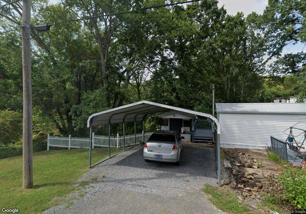
147 Cox Loy Ln Clinton, TN 37716
East Clinton NeighborhoodEstimated Value: $283,000 - $327,000
--
Bed
2
Baths
1,248
Sq Ft
$245/Sq Ft
Est. Value
About This Home
This home is located at 147 Cox Loy Ln, Clinton, TN 37716 and is currently estimated at $305,555, approximately $244 per square foot. 147 Cox Loy Ln is a home located in Anderson County with nearby schools including Fairview Elementary School and Norris Middle School.
Ownership History
Date
Name
Owned For
Owner Type
Purchase Details
Closed on
May 30, 2013
Sold by
Vick Donald Paul
Bought by
Baker Dustyn W and Baker Jennifer E
Current Estimated Value
Home Financials for this Owner
Home Financials are based on the most recent Mortgage that was taken out on this home.
Original Mortgage
$106,122
Outstanding Balance
$75,084
Interest Rate
3.37%
Mortgage Type
Commercial
Estimated Equity
$230,471
Purchase Details
Closed on
Mar 24, 2003
Sold by
Turpin Steven E and Turpin Peggy J
Bought by
Vick Donald P
Home Financials for this Owner
Home Financials are based on the most recent Mortgage that was taken out on this home.
Original Mortgage
$83,341
Interest Rate
5.82%
Purchase Details
Closed on
Nov 16, 1992
Bought by
Turpin Steven E and Turpin Wife Peggy J
Create a Home Valuation Report for This Property
The Home Valuation Report is an in-depth analysis detailing your home's value as well as a comparison with similar homes in the area
Home Values in the Area
Average Home Value in this Area
Purchase History
| Date | Buyer | Sale Price | Title Company |
|---|---|---|---|
| Baker Dustyn W | $98,500 | -- | |
| Vick Donald P | $84,000 | -- | |
| Turpin Steven E | $54,000 | -- |
Source: Public Records
Mortgage History
| Date | Status | Borrower | Loan Amount |
|---|---|---|---|
| Open | Baker Dustyn W | $106,122 | |
| Previous Owner | Turpin Steven E | $83,341 |
Source: Public Records
Tax History Compared to Growth
Tax History
| Year | Tax Paid | Tax Assessment Tax Assessment Total Assessment is a certain percentage of the fair market value that is determined by local assessors to be the total taxable value of land and additions on the property. | Land | Improvement |
|---|---|---|---|---|
| 2024 | $930 | $35,375 | $7,225 | $28,150 |
| 2023 | $930 | $35,375 | $0 | $0 |
| 2022 | $930 | $35,375 | $7,225 | $28,150 |
| 2021 | $930 | $35,375 | $7,225 | $28,150 |
| 2020 | $815 | $35,350 | $7,225 | $28,125 |
| 2019 | $844 | $29,200 | $6,700 | $22,500 |
| 2018 | $815 | $29,200 | $6,700 | $22,500 |
| 2017 | $815 | $29,200 | $6,700 | $22,500 |
| 2016 | $815 | $29,200 | $6,700 | $22,500 |
| 2015 | -- | $25,900 | $6,700 | $19,200 |
| 2014 | -- | $25,900 | $6,700 | $19,200 |
| 2013 | -- | $23,275 | $0 | $0 |
Source: Public Records
Map
Nearby Homes
- 180 Wallace Farm Ln
- 285 Joe Owen Rd
- 6 Lilac Ct
- 145 Grace Cir
- 649 Jade Ct
- 124 Pheasant Rd
- 229 Doe Run Blvd
- 174 Flagstone Way
- 883 Joseph Francis Way
- 887 Joseph Francis Way
- 884 Joseph Francis Way
- 888 Joseph Francis Way
- 860 Joseph Francis Way
- 2025 N Charles G Seivers Blvd
- 2902 Andersonville Hwy
- Glendale Plan at Mary's Pointe
- Richland Plan at Mary's Pointe
- Aria Plan at Mary's Pointe
- Madison Plan at Mary's Pointe
- Salem Plan at Mary's Pointe
- 159 Cox Loy Ln
- 325 Brooks Gap Rd
- 175 Cox Loy Ln
- 916 Mountain Rd
- 918 Mountain Rd
- 326 Brooks Gap Rd
- 305 Buffalo Rd
- 334 Brooks Gap Rd
- 314 Brooks Gap Rd
- 945 Mountain Rd
- 945 Mountain Rd
- 910 Mountain Rd
- 922 Mountain Rd
- 970 Mountain Rd
- 348 Brooks Gap Rd
- 303 Buffalo Rd
- 707 Mountain Rd
- 293 Buffalo Rd
- 911 Mountain Rd
- 919 Mountain Rd