Estimated Value: $789,000 - $994,000
3
Beds
3
Baths
2,477
Sq Ft
$361/Sq Ft
Est. Value
About This Home
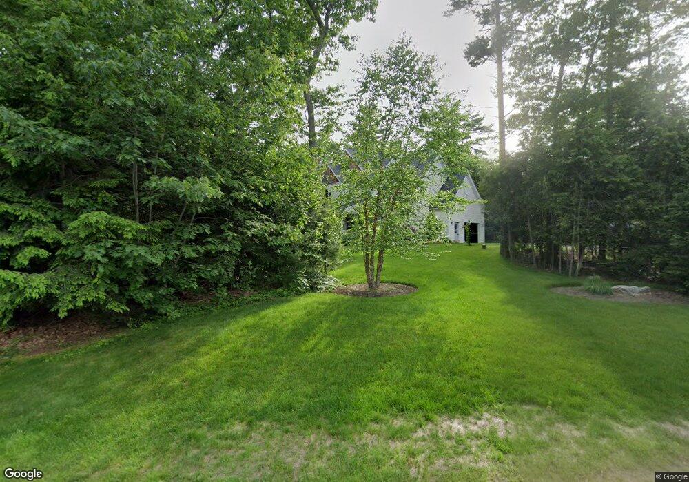
This home is located at 147 Dwight Dr, Wells, ME 04090 and is currently estimated at $894,922, approximately $361 per square foot. 147 Dwight Dr is a home located in York County with nearby schools including Wells Junior High School, Wells Elementary School, and Wells High School.
Ownership History
Date
Name
Owned For
Owner Type
Purchase Details
Closed on
Oct 1, 2024
Sold by
Ouellette Amy L and Ouellette Richard W
Bought by
Ouellette Ft and Ouellette
Current Estimated Value
Purchase Details
Closed on
Oct 17, 2007
Sold by
Gaylor Lorraine A
Bought by
Ouellette Amy L and Ouellette Richard W
Home Financials for this Owner
Home Financials are based on the most recent Mortgage that was taken out on this home.
Original Mortgage
$348,000
Interest Rate
6.51%
Mortgage Type
Unknown
Create a Home Valuation Report for This Property
The Home Valuation Report is an in-depth analysis detailing your home's value as well as a comparison with similar homes in the area
Home Values in the Area
Average Home Value in this Area
Purchase History
| Date | Buyer | Sale Price | Title Company |
|---|---|---|---|
| Ouellette Ft | -- | None Available | |
| Ouellette Ft | -- | None Available | |
| Ouellette Amy L | -- | -- | |
| Ouellette Amy L | -- | -- |
Source: Public Records
Mortgage History
| Date | Status | Borrower | Loan Amount |
|---|---|---|---|
| Previous Owner | Ouellette Amy L | $339,500 | |
| Previous Owner | Ouellette Amy L | $337,300 | |
| Previous Owner | Ouellette Amy L | $348,000 | |
| Previous Owner | Ouellette Amy L | $43,500 |
Source: Public Records
Tax History
| Year | Tax Paid | Tax Assessment Tax Assessment Total Assessment is a certain percentage of the fair market value that is determined by local assessors to be the total taxable value of land and additions on the property. | Land | Improvement |
|---|---|---|---|---|
| 2025 | $5,457 | $844,770 | $221,110 | $623,660 |
| 2024 | $5,136 | $844,770 | $221,110 | $623,660 |
| 2023 | $5,035 | $844,770 | $221,110 | $623,660 |
| 2022 | $3,995 | $381,890 | $91,650 | $290,240 |
| 2021 | $4,017 | $381,890 | $89,730 | $292,160 |
| 2020 | $3,621 | $381,890 | $91,650 | $290,240 |
| 2019 | $3,519 | $381,890 | $91,650 | $290,240 |
| 2018 | $3,941 | $381,890 | $91,650 | $290,240 |
| 2017 | $3,880 | $381,890 | $91,650 | $290,240 |
| 2016 | $3,842 | $381,890 | $91,650 | $290,240 |
| 2015 | $3,800 | $381,890 | $91,650 | $290,240 |
| 2013 | $3,483 | $381,890 | $91,650 | $290,240 |
Source: Public Records
Map
Nearby Homes
- 557 Coles Hill Rd
- 160 Millbrooke Farm Dr Unit 160
- 162 Millbrooke Farm Dr Unit 162
- 15 Heritage Dr Unit 15
- Lots 1-6 Pike Rd
- 66 Nicholas Dr
- 1007 Branch Rd
- 50 Coles Hill Rd
- 00 Farm View Ln
- 2073 Post Rd Unit 5
- 77 Clark Rd
- TBD Eagle Crest Dr
- 238 Laudholm Farm Rd
- lot 3 Lydias Cir
- 4 Cider Mill Ln
- 1762 Post Rd Unit 206
- lot 20 Lydias Cir
- lot 12 Lydia's Cir
- Lot 2 Creekside Ct Unit 2
- 47 Whistle Stop Cir
Your Personal Tour Guide
Ask me questions while you tour the home.