Estimated Value: $502,747 - $582,000
3
Beds
2
Baths
2,496
Sq Ft
$221/Sq Ft
Est. Value
About This Home
This home is located at 147 Farm Rd, Keene, NH 03431 and is currently estimated at $550,937, approximately $220 per square foot. 147 Farm Rd is a home with nearby schools including Keene High School and Surry Village Charter School.
Ownership History
Date
Name
Owned For
Owner Type
Purchase Details
Closed on
Dec 18, 2023
Sold by
Rice Corey P
Bought by
Corey P Rice 2023 Ret and Rice
Current Estimated Value
Purchase Details
Closed on
Feb 14, 2022
Sold by
Rice Liza T
Bought by
Rice Corey P
Home Financials for this Owner
Home Financials are based on the most recent Mortgage that was taken out on this home.
Original Mortgage
$426,473
Interest Rate
3.69%
Mortgage Type
Stand Alone Refi Refinance Of Original Loan
Create a Home Valuation Report for This Property
The Home Valuation Report is an in-depth analysis detailing your home's value as well as a comparison with similar homes in the area
Purchase History
| Date | Buyer | Sale Price | Title Company |
|---|---|---|---|
| Corey P Rice 2023 Ret | -- | None Available | |
| Rice Corey P | -- | None Available | |
| Rice Corey P | -- | None Available |
Source: Public Records
Mortgage History
| Date | Status | Borrower | Loan Amount |
|---|---|---|---|
| Previous Owner | Rice Corey P | $426,473 |
Source: Public Records
Tax History
| Year | Tax Paid | Tax Assessment Tax Assessment Total Assessment is a certain percentage of the fair market value that is determined by local assessors to be the total taxable value of land and additions on the property. | Land | Improvement |
|---|---|---|---|---|
| 2025 | $6,612 | $393,100 | $80,600 | $312,500 |
| 2024 | $6,612 | $393,100 | $80,600 | $312,500 |
| 2023 | $6,344 | $396,000 | $80,600 | $315,400 |
| 2022 | $6,259 | $389,700 | $80,600 | $309,100 |
| 2021 | $5,976 | $243,700 | $46,300 | $197,400 |
| 2020 | $6,926 | $243,700 | $46,300 | $197,400 |
| 2019 | $7,048 | $243,700 | $46,300 | $197,400 |
| 2018 | $5,417 | $243,700 | $46,300 | $197,400 |
| 2017 | $5,417 | $243,700 | $46,300 | $197,400 |
| 2016 | $4,123 | $226,800 | $40,000 | $186,800 |
| 2015 | $5,629 | $226,800 | $40,000 | $186,800 |
| 2014 | $4,875 | $203,300 | $38,000 | $165,300 |
| 2013 | $8 | $356 | $356 | $0 |
Source: Public Records
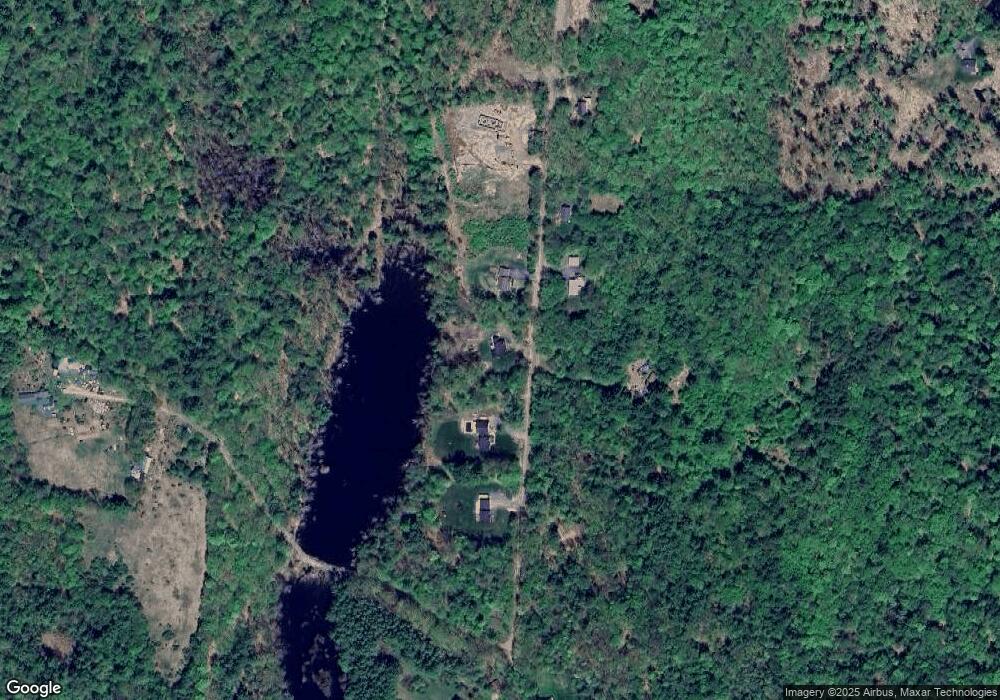
Map
Nearby Homes
- 0 Old Gilsum Rd Unit 5034729
- 692 Old Walpole Rd
- 143 Village Rd
- 24 Village Rd
- 28 Village Rd
- Lot 27-1 Old Walpole Rd
- 60 Butternut Dr
- 521 County Rd
- 225B Belvedere Rd Unit B
- 000 S Village Rd Unit 13
- 8 Cardinal Cir
- 1813 Route 12
- 67 Oriole Ave
- 94 Oriole Ave
- Lot 4 Belvedere Rd
- 0 Hunt Rd Unit 66
- 33 Maclean Rd
- 17 Leahy Rd
- 646 Court St
- 8 Marguerite St
- 157 Farm Rd
- 165 Farm Rd
- 141 Farm Rd
- 429 N Mine Ledge Rd
- 68 Farm Rd
- 446 N Mine Ledge Rd
- 449 N Mine Ledge Rd
- 405 N Mine Ledge Rd
- 40 Farm Rd
- 458 N Mine Ledge Rd
- 459 N Mine Ledge Rd
- 397 N Mine Ledge Rd
- 43 Farm Rd
- 944 Old Walpole Rd
- 974 Old Walpole Rd
- 112 Farm Rd
- 105 Farm Rd
- Lot 83-A3 Farm Rd
- Lot 83-A2 Farm Rd
- Lot 83-A1 Farm Rd
Your Personal Tour Guide
Ask me questions while you tour the home.