147 Jarvis Rd Mossyrock, WA 98564
Estimated Value: $544,000 - $900,000
2
Beds
2
Baths
2,240
Sq Ft
$321/Sq Ft
Est. Value
About This Home
This home is located at 147 Jarvis Rd, Mossyrock, WA 98564 and is currently estimated at $719,000, approximately $320 per square foot. 147 Jarvis Rd is a home with nearby schools including Mossyrock Elementary School and Mossyrock Middle/High School.
Ownership History
Date
Name
Owned For
Owner Type
Purchase Details
Closed on
Jan 7, 2016
Sold by
Mossyrock Cans Property Llc
Bought by
Nelson Russell D and Nelson Teresa A
Current Estimated Value
Home Financials for this Owner
Home Financials are based on the most recent Mortgage that was taken out on this home.
Original Mortgage
$304,165
Outstanding Balance
$241,592
Interest Rate
3.92%
Mortgage Type
Purchase Money Mortgage
Estimated Equity
$477,408
Purchase Details
Closed on
Oct 30, 2015
Sold by
Lindsey Shannon M and Gooch Sherri Jo
Bought by
Mossyrock Cans Property Llc
Create a Home Valuation Report for This Property
The Home Valuation Report is an in-depth analysis detailing your home's value as well as a comparison with similar homes in the area
Home Values in the Area
Average Home Value in this Area
Purchase History
| Date | Buyer | Sale Price | Title Company |
|---|---|---|---|
| Nelson Russell D | $365,000 | Title Guaranty | |
| Mossyrock Cans Property Llc | -- | None Available |
Source: Public Records
Mortgage History
| Date | Status | Borrower | Loan Amount |
|---|---|---|---|
| Open | Nelson Russell D | $304,165 |
Source: Public Records
Tax History Compared to Growth
Tax History
| Year | Tax Paid | Tax Assessment Tax Assessment Total Assessment is a certain percentage of the fair market value that is determined by local assessors to be the total taxable value of land and additions on the property. | Land | Improvement |
|---|---|---|---|---|
| 2024 | $5,077 | $731,700 | $308,000 | $423,700 |
| 2023 | $5,040 | $696,500 | $227,000 | $469,500 |
| 2022 | $5,232 | $552,100 | $179,800 | $372,300 |
| 2021 | $5,210 | $552,100 | $179,800 | $372,300 |
| 2020 | $4,994 | $482,100 | $149,900 | $332,200 |
| 2019 | $4,720 | $442,200 | $149,900 | $292,300 |
| 2018 | $4,521 | $396,400 | $133,800 | $262,600 |
| 2017 | $4,185 | $347,100 | $103,700 | $243,400 |
| 2016 | $3,778 | $320,400 | $106,900 | $213,500 |
| 2013 | $3,778 | $332,700 | $118,800 | $213,900 |
Source: Public Records
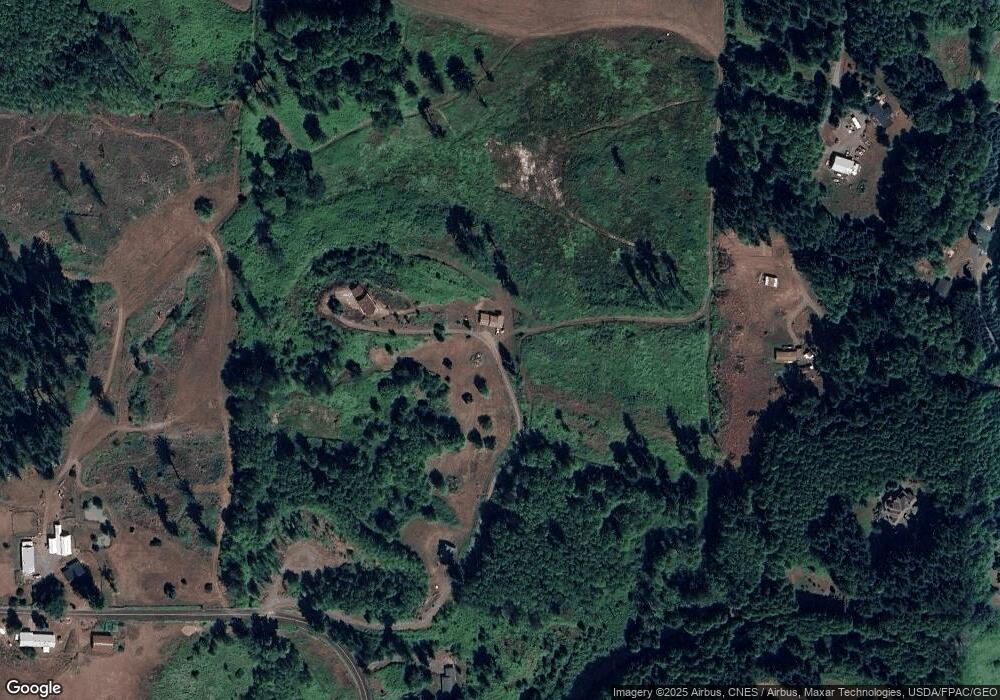
Map
Nearby Homes
- 174 Riley Way
- 0 Madison Dr
- 557 71 Mossyrock Ave
- 281 Jarvis Rd
- 233 Young Rd
- 108 Godfrey Rd
- 238 Sunset Ave
- 242 Sunset Dr
- 167 Meadow Ln
- 219 Mossyrock Ave
- 212 Hope St
- 165 Swigert Rd
- 4057 - 51 U S 12
- 154 Mossyrock Rd W Unit 5
- 119 Deer Ridge Ln
- 128 Valley View Dr
- 537 86 Larson Rd
- 154 Valley View Dr
- 302 Mossyrock Rd W
- 295 Degoede Dr
- 165 Jarvis Rd
- 128 Jarvis Rd
- 113 Jarvis Rd
- 0 Blankenship Rd
- 181 Madison Rd
- 205 Riley Way
- 267 Mossyrock Rd E
- 105 Jarvis Rd
- 194 Madison Rd
- 108 Riley Way
- 211 Young Rd
- 194 Jarvis Rd
- 232 Young Rd
- 142 Madison Rd
- 301 Young Rd
- 319 Young Rd
- 315 Young Rd
- 0 Madison Rd Unit NWM2240300
- 0 Madison Rd Unit NWM2071060
- 0 Madison Rd Unit 2011252