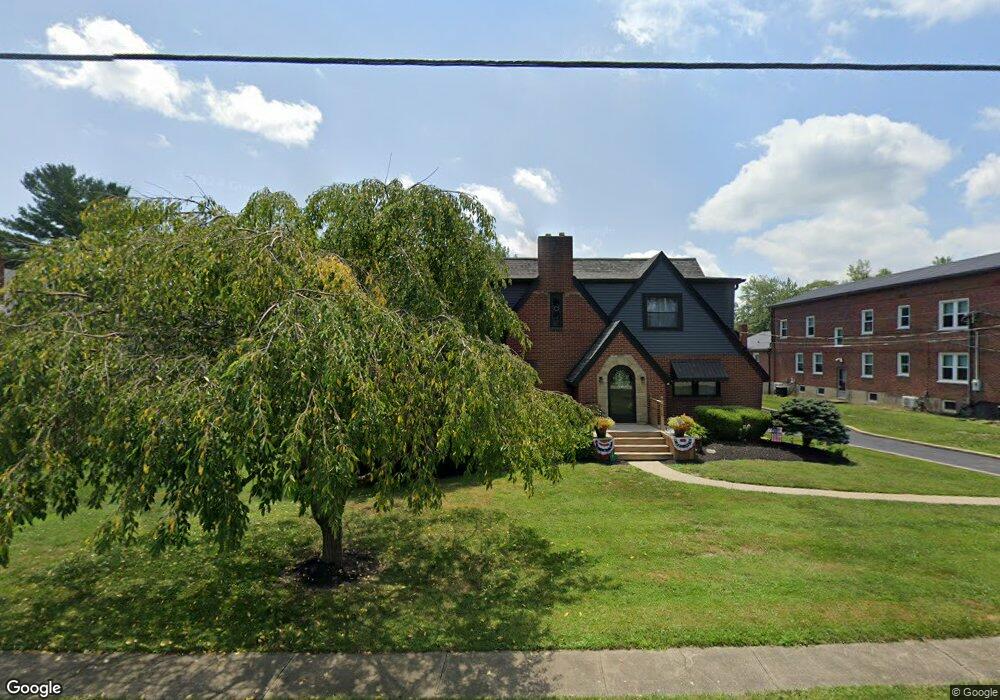
147 Maple Ave Sardinia, OH 45171
Estimated Value: $308,000 - $332,418
4
Beds
3
Baths
3,067
Sq Ft
$105/Sq Ft
Est. Value
About This Home
This home is located at 147 Maple Ave, Sardinia, OH 45171 and is currently estimated at $323,355, approximately $105 per square foot. 147 Maple Ave is a home located in Brown County with nearby schools including Sardinia Elementary School, Russellville Elementary School, and Eastern Middle School.
Ownership History
Date
Name
Owned For
Owner Type
Purchase Details
Closed on
Mar 2, 2023
Sold by
Kathryn Sue Hampton Keystone Preservatio
Bought by
Dotson Elizabeth A and Doss Elizabeth A
Current Estimated Value
Purchase Details
Closed on
Apr 25, 2013
Sold by
Hampton Kathryn Sue
Bought by
Doss Elizabeth A and The Kathyrn Sue Hampton Keystone Preserv
Create a Home Valuation Report for This Property
The Home Valuation Report is an in-depth analysis detailing your home's value as well as a comparison with similar homes in the area
Home Values in the Area
Average Home Value in this Area
Purchase History
| Date | Buyer | Sale Price | Title Company |
|---|---|---|---|
| Dotson Elizabeth A | $250 | -- | |
| Doss Elizabeth A | -- | None Available |
Source: Public Records
Tax History Compared to Growth
Tax History
| Year | Tax Paid | Tax Assessment Tax Assessment Total Assessment is a certain percentage of the fair market value that is determined by local assessors to be the total taxable value of land and additions on the property. | Land | Improvement |
|---|---|---|---|---|
| 2024 | $2,987 | $86,310 | $5,600 | $80,710 |
| 2023 | $2,987 | $67,330 | $4,670 | $62,660 |
| 2022 | $2,508 | $67,330 | $4,670 | $62,660 |
| 2021 | $2,485 | $67,330 | $4,670 | $62,660 |
| 2020 | $2,247 | $58,550 | $4,060 | $54,490 |
| 2019 | $2,232 | $58,550 | $4,060 | $54,490 |
| 2018 | $2,212 | $58,550 | $4,060 | $54,490 |
| 2017 | $1,417 | $38,200 | $4,470 | $33,730 |
| 2016 | $1,418 | $38,200 | $4,470 | $33,730 |
| 2015 | $1,138 | $38,200 | $4,470 | $33,730 |
| 2014 | $1,138 | $37,790 | $4,060 | $33,730 |
| 2013 | $1,136 | $37,790 | $4,060 | $33,730 |
Source: Public Records
Map
Nearby Homes
- 115 Cherry St
- 7800 Tri County Hwy
- 175 Winchester St
- 124 Fairview Ave
- 6 Mohican Cove
- 0 Creek - Lot# 2795 Dr Unit 1803735
- 1656 S Waynoka
- 0 Mochican Cove Unit 1833148
- 476 S Waynoka
- 2241 E Waynoka
- 9 E Mohican Cove
- Ac Bachman Rd
- 159 Sardinia-Mowrystown Rd
- 0 N St Rt 32 Unit 1745639
- 121 Mae St
- 1 Duncanson Rd
- 0 Horse Shoe Dr Unit 1857810
- 874 Waynoka Dr
- 13264 Ogden Ln
- 7603 Tricounty Hwy