147 Morrow Rd Turtletown, TN 37391
Estimated Value: $225,600 - $312,000
Studio
2
Baths
1,264
Sq Ft
$223/Sq Ft
Est. Value
About This Home
This home is located at 147 Morrow Rd, Turtletown, TN 37391 and is currently estimated at $281,650, approximately $222 per square foot. 147 Morrow Rd is a home located in Polk County.
Ownership History
Date
Name
Owned For
Owner Type
Purchase Details
Closed on
Jun 11, 2007
Sold by
Stuart Clyde D
Bought by
Stuart Clyde D
Current Estimated Value
Purchase Details
Closed on
Oct 21, 1991
Bought by
Loudermilk Jack and Loudermilk Opal M
Purchase Details
Closed on
Apr 16, 1974
Bought by
Johnson Harold E and Johnson Evelyn G
Create a Home Valuation Report for This Property
The Home Valuation Report is an in-depth analysis detailing your home's value as well as a comparison with similar homes in the area
Purchase History
| Date | Buyer | Sale Price | Title Company |
|---|---|---|---|
| Stuart Clyde D | -- | -- | |
| Loudermilk Jack | $11,000 | -- | |
| Johnson Harold E | -- | -- |
Source: Public Records
Tax History
| Year | Tax Paid | Tax Assessment Tax Assessment Total Assessment is a certain percentage of the fair market value that is determined by local assessors to be the total taxable value of land and additions on the property. | Land | Improvement |
|---|---|---|---|---|
| 2025 | $810 | $47,950 | $3,325 | $44,625 |
| 2024 | $810 | $47,950 | $3,325 | $44,625 |
| 2023 | $810 | $47,950 | $0 | $0 |
| 2022 | $723 | $28,775 | $2,625 | $26,150 |
| 2021 | $723 | $28,775 | $2,625 | $26,150 |
| 2020 | $723 | $28,775 | $2,625 | $26,150 |
| 2019 | $723 | $28,775 | $2,625 | $26,150 |
| 2018 | $723 | $28,775 | $2,625 | $26,150 |
| 2017 | $756 | $29,975 | $3,975 | $26,000 |
| 2016 | $720 | $29,975 | $3,975 | $26,000 |
| 2015 | $720 | $29,975 | $3,975 | $26,000 |
| 2014 | $720 | $29,955 | $0 | $0 |
Source: Public Records
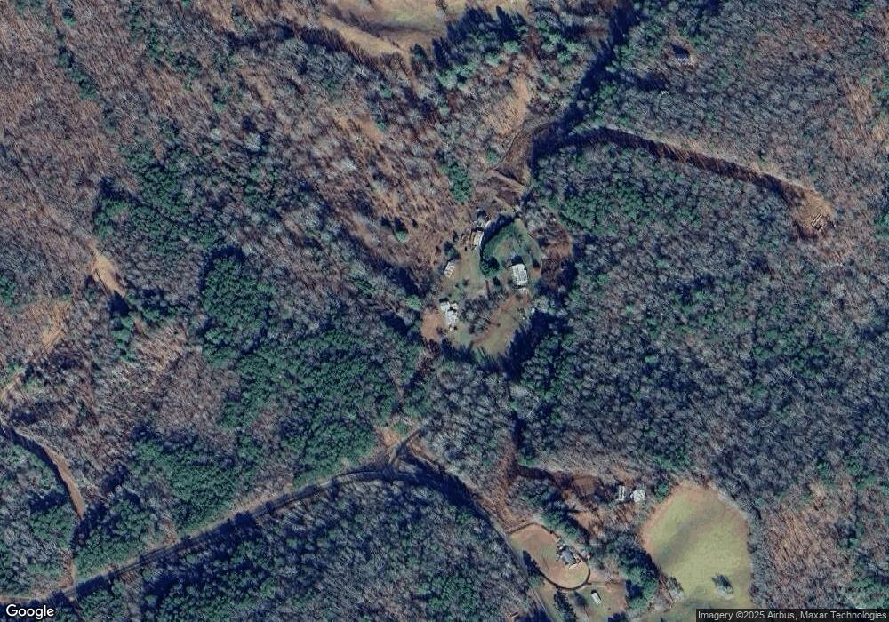
Map
Nearby Homes
- 226 Shinbone Mountain Rd
- 254 Padgett Ln
- 318 Kimsey Dairy Rd
- 0000 Kimsey Dairy Rd
- 00000 Kimsey Dairy Rd
- 35AC Ducks Nest Rd
- 1051 Ducks Nest Rd
- 3892 Highway 68
- 0 Nicholson Cir
- 0 Cedar Springs Rd
- 1638 New Stansbury Rd
- 156 Elrod Cir
- LT 35 Calvender Rd
- 115 Calvender Rd
- Lot 32 Calvender Rd
- 3.5AC Sassafras Ridge Rd
- Lot 20 Sassafras Ridge Rd
- 240 McJunkin Rd
- 114 Blackhawk Ln
- LT 28A Sassafras Ridge Rd
- 156 Morrow Rd
- 860 Ducks Nest Rd
- 807 New Stansbury Rd
- 807 New Stansbury Rd
- 0 Morrow Rd Unit RTC2519567
- 228 Morrow Rd
- 0 Morrow Rd Unit RTC2590702
- 0 Morrow Rd Unit 326865
- 0 Morrow Rd Unit 1370420
- 0 Morrow Rd Unit 1357590
- 0 Morrow Rd Unit 8748634
- 00 Morrow Rd
- 818 New Stansbury Rd
- 213 Morrow Rd
- 813 New Stansbury Rd
- 200 Morrow Rd
- 837 New Stansbury Rd
- 6.44 acs Woodsong Haven
- 845 New Stansbury Rd
- 871 New Stansbury Rd
Your Personal Tour Guide
Ask me questions while you tour the home.