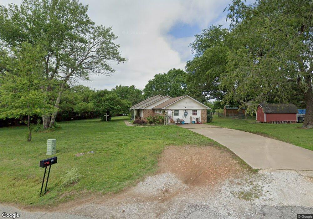
147 N Robin Rd Gentry, AR 72734
Estimated Value: $314,856 - $399,000
--
Bed
2
Baths
2,028
Sq Ft
$173/Sq Ft
Est. Value
About This Home
This home is located at 147 N Robin Rd, Gentry, AR 72734 and is currently estimated at $351,464, approximately $173 per square foot. 147 N Robin Rd is a home located in Benton County with nearby schools including Gentry Intermediate School, Gentry Primary School, and Gentry Middle School.
Ownership History
Date
Name
Owned For
Owner Type
Purchase Details
Closed on
Mar 22, 2001
Bought by
Bailey 2P
Current Estimated Value
Purchase Details
Closed on
Jun 9, 1997
Bought by
Dana Rev Tr
Purchase Details
Closed on
Oct 5, 1994
Bought by
Dana Tr
Purchase Details
Closed on
Sep 28, 1994
Bought by
Dana Rev Trust
Purchase Details
Closed on
Jan 15, 1994
Bought by
Barrett
Purchase Details
Closed on
Nov 24, 1992
Bought by
Osteen
Purchase Details
Closed on
Apr 24, 1989
Bought by
Dana Rev Trust
Purchase Details
Closed on
Aug 13, 1985
Bought by
Dana
Create a Home Valuation Report for This Property
The Home Valuation Report is an in-depth analysis detailing your home's value as well as a comparison with similar homes in the area
Home Values in the Area
Average Home Value in this Area
Purchase History
| Date | Buyer | Sale Price | Title Company |
|---|---|---|---|
| Bailey 2P | $80,000 | -- | |
| Dana Rev Tr | -- | -- | |
| Dana Tr | -- | -- | |
| Dana Rev Trust | -- | -- | |
| Barrett | $80,000 | -- | |
| Osteen | $17,100 | -- | |
| Dana Rev Trust | -- | -- | |
| Dana | $4,000 | -- |
Source: Public Records
Tax History Compared to Growth
Tax History
| Year | Tax Paid | Tax Assessment Tax Assessment Total Assessment is a certain percentage of the fair market value that is determined by local assessors to be the total taxable value of land and additions on the property. | Land | Improvement |
|---|---|---|---|---|
| 2025 | $1,816 | $55,427 | $8,750 | $46,677 |
| 2024 | $1,715 | $55,427 | $8,750 | $46,677 |
| 2023 | $1,633 | $36,590 | $6,250 | $30,340 |
| 2022 | $1,272 | $36,590 | $6,250 | $30,340 |
| 2021 | $1,194 | $36,590 | $6,250 | $30,340 |
| 2020 | $1,125 | $25,690 | $2,250 | $23,440 |
| 2019 | $1,098 | $25,690 | $2,250 | $23,440 |
| 2018 | $1,062 | $25,690 | $2,250 | $23,440 |
| 2017 | $939 | $25,690 | $2,250 | $23,440 |
| 2016 | $939 | $25,690 | $2,250 | $23,440 |
| 2015 | $1,162 | $21,020 | $2,400 | $18,620 |
| 2014 | $812 | $18,590 | $2,400 | $16,190 |
Source: Public Records
Map
Nearby Homes
- 1298 E Main St
- 12041 N Robin Rd
- 1392 E Crawford St
- 9.09 Acres E 3rd St Hwy 12
- 00 Highway 12
- . S Highway 59
- 1400 Shankles Rd
- 12041 S Robin Rd
- 1508 Taylor Orchard Rd
- 122 S Collins Ave
- 311 S Rust Ave
- 317 Whitten Ave
- 229 Whitten Ave
- 221 Whitten Ave
- 213 Whitten Ave
- TBD Lot 3 The Preserve
- 19161 Old Springtown Rd
- 401 S Giles Ave
- 2012 Ridge St
- 513 N Byers Ave
- 1292 E Main St
- 1120 E Main St
- Lot 1 Robin Rd
- Lot 2 Robin Rd
- 3.28Ac N Robin Rd
- 2Ac N Robin Rd
- 1304 E Main St
- 1221 E Main St
- 0 Dawn Hill East S Robin Rd Unit 568244
- TBD N Robin Rd
- 180 N Robin Rd
- 1177 E Main St
- 333 N Robin Rd
- 1304 Bates St
- 1380 E Main St
- 1099 E Main St
- 348 N Robin Rd
- 1328 Bates St
- 1050 E Main St
- 1398 E Main St