147 Nantz Woods Ln Troutman, NC 28166
Estimated Value: $357,000 - $561,809
3
Beds
2
Baths
1,716
Sq Ft
$246/Sq Ft
Est. Value
About This Home
This home is located at 147 Nantz Woods Ln, Troutman, NC 28166 and is currently estimated at $422,452, approximately $246 per square foot. 147 Nantz Woods Ln is a home located in Iredell County with nearby schools including Troutman Elementary School, Troutman Middle School, and South Iredell High School.
Ownership History
Date
Name
Owned For
Owner Type
Purchase Details
Closed on
Jul 5, 2011
Sold by
Rogers Terry M and Rogers Nadine C
Bought by
Nantz Bryan Darrell and Nantz Sandra Q
Current Estimated Value
Home Financials for this Owner
Home Financials are based on the most recent Mortgage that was taken out on this home.
Original Mortgage
$31,000
Interest Rate
4.63%
Mortgage Type
Seller Take Back
Purchase Details
Closed on
Jul 1, 1986
Purchase Details
Closed on
Jun 1, 1977
Purchase Details
Closed on
Jun 1, 1976
Purchase Details
Closed on
Jun 1, 1901
Create a Home Valuation Report for This Property
The Home Valuation Report is an in-depth analysis detailing your home's value as well as a comparison with similar homes in the area
Home Values in the Area
Average Home Value in this Area
Purchase History
| Date | Buyer | Sale Price | Title Company |
|---|---|---|---|
| Nantz Bryan Darrell | $51,000 | None Available | |
| -- | $500 | -- | |
| -- | -- | -- | |
| -- | -- | -- | |
| -- | -- | -- |
Source: Public Records
Mortgage History
| Date | Status | Borrower | Loan Amount |
|---|---|---|---|
| Closed | Nantz Bryan Darrell | $31,000 |
Source: Public Records
Tax History Compared to Growth
Tax History
| Year | Tax Paid | Tax Assessment Tax Assessment Total Assessment is a certain percentage of the fair market value that is determined by local assessors to be the total taxable value of land and additions on the property. | Land | Improvement |
|---|---|---|---|---|
| 2024 | $1,829 | $294,790 | $0 | $0 |
| 2023 | $1,829 | $294,850 | $0 | $0 |
| 2022 | $1,205 | $179,530 | $0 | $0 |
| 2021 | $1,183 | $179,530 | $0 | $0 |
| 2020 | $1,183 | $179,530 | $0 | $0 |
| 2019 | $1,138 | $179,530 | $0 | $0 |
| 2018 | $1,048 | $166,760 | $0 | $0 |
| 2017 | $1,048 | $202,360 | $63,430 | $138,930 |
| 2016 | $1,048 | $202,360 | $63,430 | $138,930 |
| 2015 | $1,114 | $202,360 | $63,430 | $138,930 |
| 2014 | $1,006 | $198,300 | $63,430 | $134,870 |
Source: Public Records
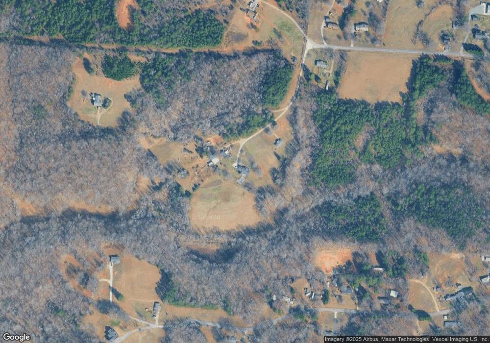
Map
Nearby Homes
- 206 Cassius Dr
- 208 Cassius Dr
- 139 Asmodean Ln
- 133 Asmodean Ln
- 135 Asmodean Ln
- 141 Asmodean Ln
- 131 Asmodean Ln
- 127 Asmodean Ln
- 125 Asmodean Ln
- 121 Asmodean Ln
- 143 Asmodean Ln
- 119 Asmodean Ln
- 115 Asmodean Ln
- 145 Asmodean Ln
- 113 Asmodean Ln
- 109 Asmodean Ln
- 147 Asmodean Ln
- 107 Asmodean Ln
- 153 Asmodean Ln
- 157 Asmodean Ln