147 Oak Dr Little Hocking, OH 45742
Estimated Value: $181,000 - $186,000
3
Beds
2
Baths
1,440
Sq Ft
$127/Sq Ft
Est. Value
About This Home
This home is located at 147 Oak Dr, Little Hocking, OH 45742 and is currently estimated at $183,593, approximately $127 per square foot. 147 Oak Dr is a home located in Washington County with nearby schools including Warren High School.
Ownership History
Date
Name
Owned For
Owner Type
Purchase Details
Closed on
Jul 6, 2021
Sold by
Smith Tonya R
Bought by
Mcclain Ryan S and Mcclain Melissa D
Current Estimated Value
Home Financials for this Owner
Home Financials are based on the most recent Mortgage that was taken out on this home.
Original Mortgage
$166,666
Outstanding Balance
$151,224
Interest Rate
2.9%
Mortgage Type
New Conventional
Estimated Equity
$32,369
Purchase Details
Closed on
Jun 7, 2019
Sold by
Farmers Bank And Savings Company
Bought by
Smith Tonya R and Smith Ishmael Jeff
Home Financials for this Owner
Home Financials are based on the most recent Mortgage that was taken out on this home.
Original Mortgage
$41,500
Interest Rate
4.1%
Mortgage Type
Closed End Mortgage
Purchase Details
Closed on
Jan 29, 2019
Sold by
Rood Steven and Rood Steven Oneil
Bought by
Farmers Bank And Savings Company
Purchase Details
Closed on
Mar 18, 2004
Bought by
Rood Steven
Create a Home Valuation Report for This Property
The Home Valuation Report is an in-depth analysis detailing your home's value as well as a comparison with similar homes in the area
Home Values in the Area
Average Home Value in this Area
Purchase History
| Date | Buyer | Sale Price | Title Company |
|---|---|---|---|
| Mcclain Ryan S | $165,000 | None Available | |
| Smith Tonya R | $42,000 | None Available | |
| Farmers Bank And Savings Company | $36,746 | None Available | |
| Rood Steven | $22,000 | -- |
Source: Public Records
Mortgage History
| Date | Status | Borrower | Loan Amount |
|---|---|---|---|
| Open | Mcclain Ryan S | $166,666 | |
| Previous Owner | Smith Tonya R | $41,500 |
Source: Public Records
Tax History Compared to Growth
Tax History
| Year | Tax Paid | Tax Assessment Tax Assessment Total Assessment is a certain percentage of the fair market value that is determined by local assessors to be the total taxable value of land and additions on the property. | Land | Improvement |
|---|---|---|---|---|
| 2024 | $1,566 | $39,920 | $7,000 | $32,920 |
| 2023 | $1,566 | $39,920 | $7,000 | $32,920 |
| 2022 | $1,559 | $39,920 | $7,000 | $32,920 |
| 2021 | $1,291 | $30,660 | $4,910 | $25,750 |
| 2020 | $1,520 | $30,660 | $4,910 | $25,750 |
| 2019 | $1,192 | $30,660 | $4,910 | $25,750 |
| 2018 | $1,575 | $26,860 | $4,270 | $22,590 |
| 2017 | $1,364 | $26,860 | $4,270 | $22,590 |
| 2016 | $1,488 | $26,860 | $4,270 | $22,590 |
| 2015 | $1,591 | $23,360 | $4,260 | $19,100 |
| 2014 | $1,165 | $23,360 | $4,260 | $19,100 |
| 2013 | $418 | $23,360 | $4,260 | $19,100 |
Source: Public Records
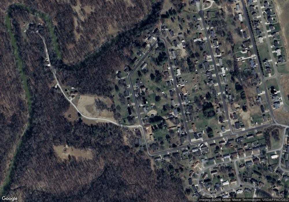
Map
Nearby Homes
- 0 T1309
- 00 Orchard Dr
- 128 Haynes Rd
- 631 Short Brook Rd
- 4278 Newbury Rd
- 1396 State Route 339
- 1462 State Route 339
- 000 Newbury Rd
- 1948 State Route 339
- 2853 Lake Washington Rd
- 0 Newberry Rd Unit 4279424
- 464 Cave Hill Rd
- 0 Houston Rd
- 0 Houston Rd
- 29500 Houston Rd
- 1175 Collins Rd
- 1556 Mcgill Rd
- 155 Ridgewood Blvd
- 1131 Mcgill Rd
- 1421 Hocking Rd