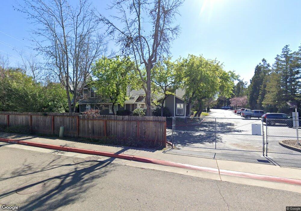
147 Pierpoint Cir Folsom, CA 95630
Estimated Value: $342,000 - $406,000
2
Beds
3
Baths
1,019
Sq Ft
$372/Sq Ft
Est. Value
About This Home
This home is located at 147 Pierpoint Cir, Folsom, CA 95630 and is currently estimated at $379,120, approximately $372 per square foot. 147 Pierpoint Cir is a home located in Sacramento County with nearby schools including Carl H. Sundahl Elementary School, Sutter Middle School, and Folsom High School.
Ownership History
Date
Name
Owned For
Owner Type
Purchase Details
Closed on
May 4, 2015
Sold by
Gorrell Valerie H and Gorrell Calvin R
Bought by
Trust Agreement Of The Gorrell Family Tr
Current Estimated Value
Purchase Details
Closed on
Apr 8, 2015
Sold by
Gorrell Valerie H
Bought by
Gorrell Valerie H and Gorrell Calvin R
Purchase Details
Closed on
Nov 30, 1999
Sold by
Fadde Doris Mae
Bought by
Fadde Doris Mae and Fadde Living Trust
Create a Home Valuation Report for This Property
The Home Valuation Report is an in-depth analysis detailing your home's value as well as a comparison with similar homes in the area
Purchase History
| Date | Buyer | Sale Price | Title Company |
|---|---|---|---|
| Trust Agreement Of The Gorrell Family Tr | -- | None Available | |
| Gorrell Valerie H | -- | None Available | |
| Fadde Doris Mae | -- | -- |
Source: Public Records
Tax History
| Year | Tax Paid | Tax Assessment Tax Assessment Total Assessment is a certain percentage of the fair market value that is determined by local assessors to be the total taxable value of land and additions on the property. | Land | Improvement |
|---|---|---|---|---|
| 2025 | $2,232 | $208,920 | $90,166 | $118,754 |
| 2024 | $2,232 | $204,825 | $88,399 | $116,426 |
| 2023 | $2,192 | $200,810 | $86,666 | $114,144 |
| 2022 | $2,160 | $196,873 | $84,967 | $111,906 |
| 2021 | $2,132 | $193,013 | $83,301 | $109,712 |
| 2020 | $2,105 | $191,035 | $82,447 | $108,588 |
| 2019 | $2,070 | $187,290 | $80,831 | $106,459 |
| 2018 | $2,019 | $183,619 | $79,247 | $104,372 |
| 2017 | $1,883 | $180,020 | $77,694 | $102,326 |
| 2016 | $1,967 | $176,491 | $76,171 | $100,320 |
| 2015 | $1,901 | $173,841 | $75,027 | $98,814 |
| 2014 | $1,731 | $170,437 | $73,558 | $96,879 |
Source: Public Records
Map
Nearby Homes
- 246 Danielle Way
- 238 Bluebird Ln
- 153 Egloff Cir
- 90 Monterey Ln
- 37 Allan Ct
- 60 Birch Ln
- 76 Redwood Ln
- 126 Danielle Way
- 100 Hollyann Dr
- 587 Southwood Dr
- 591 Southwood Dr
- 411 Nugget Dr
- 214 Leafwood Way
- 240 Stonebrook Dr
- 101 Overbrook Dr
- 155 Leafwood Way
- 95 Shadowbrook Ct
- 115 Leafwood Way
- 100 Hinkle Ct
- 148 Carmody Cir
- 148 Pierpoint Cir
- 149 Pierpoint Cir
- 139 Pierpoint Cir
- 150 Pierpoint Cir
- 145 Pierpoint Cir
- 153 Pierpoint Cir
- 154 Pierpoint Cir
- 152 Pierpoint Cir
- 155 Pierpoint Cir
- 138 Pierpoint Cir
- 144 Pierpoint Cir
- 151 Pierpoint Cir
- 156 Pierpoint Cir
- 137 Pierpoint Cir
- 157 Pierpoint Cir
- 143 Pierpoint Cir
- 133 Pierpoint Cir
- 136 Pierpoint Cir
- 142 Pierpoint Cir
- 315 Bluebird Ln
