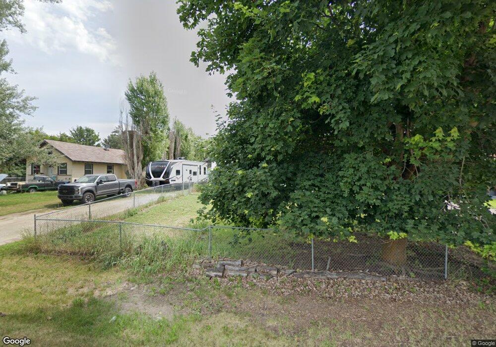
147 S Cedar Dr Kalispell, MT 59901
Estimated Value: $404,000 - $459,000
3
Beds
2
Baths
1,991
Sq Ft
$219/Sq Ft
Est. Value
About This Home
This home is located at 147 S Cedar Dr, Kalispell, MT 59901 and is currently estimated at $435,331, approximately $218 per square foot. 147 S Cedar Dr is a home located in Flathead County with nearby schools including East Evergreen School, Evergreen Junior High School (7-8), and Glacier High School.
Ownership History
Date
Name
Owned For
Owner Type
Purchase Details
Closed on
Aug 4, 2025
Sold by
Davis Donald Scott
Bought by
Legacy Link Llc
Current Estimated Value
Purchase Details
Closed on
Jul 3, 2014
Sold by
Yerkes Jeff G and Yerkes Jeff
Bought by
Yerkes Jeff G and Yerkes Sarah E
Home Financials for this Owner
Home Financials are based on the most recent Mortgage that was taken out on this home.
Original Mortgage
$172,086
Interest Rate
4.25%
Mortgage Type
FHA
Purchase Details
Closed on
Sep 1, 2007
Sold by
Yerkes Jeff and Yerkes Amanda
Bought by
Yerkes Jeff
Home Financials for this Owner
Home Financials are based on the most recent Mortgage that was taken out on this home.
Original Mortgage
$124,000
Interest Rate
6.29%
Mortgage Type
New Conventional
Create a Home Valuation Report for This Property
The Home Valuation Report is an in-depth analysis detailing your home's value as well as a comparison with similar homes in the area
Purchase History
| Date | Buyer | Sale Price | Title Company |
|---|---|---|---|
| Legacy Link Llc | -- | None Listed On Document | |
| Yerkes Jeff G | -- | Atec | |
| Yerkes Jeff | -- | None Available |
Source: Public Records
Mortgage History
| Date | Status | Borrower | Loan Amount |
|---|---|---|---|
| Previous Owner | Yerkes Jeff G | $172,086 | |
| Previous Owner | Yerkes Jeff | $124,000 |
Source: Public Records
Tax History
| Year | Tax Paid | Tax Assessment Tax Assessment Total Assessment is a certain percentage of the fair market value that is determined by local assessors to be the total taxable value of land and additions on the property. | Land | Improvement |
|---|---|---|---|---|
| 2025 | $1,546 | $394,400 | $0 | $0 |
| 2024 | $2,150 | $336,100 | $0 | $0 |
| 2023 | $2,185 | $336,100 | $0 | $0 |
| 2022 | $1,673 | $192,500 | $0 | $0 |
| 2021 | $1,811 | $192,500 | $0 | $0 |
| 2020 | $1,993 | $202,800 | $0 | $0 |
| 2019 | $1,968 | $202,800 | $0 | $0 |
| 2018 | $1,487 | $150,100 | $0 | $0 |
| 2017 | $1,344 | $150,100 | $0 | $0 |
| 2016 | $1,258 | $131,100 | $0 | $0 |
| 2015 | $1,232 | $131,100 | $0 | $0 |
| 2014 | $1,357 | $89,464 | $0 | $0 |
Source: Public Records
Map
Nearby Homes
- 1045 Conrad Dr Unit 103
- 150 Shady Ln Unit 515
- 100 Woodlands Way Unit W-304
- 100 Woodlands Way Unit W-302
- 100 Woodlands Way Unit W-408
- 100 Woodlands Way Unit W-308
- 871 Conrad Dr
- 11 W Cottonwood Dr
- 164 River Rd
- 24 Magstadt Ln
- 712 Conrad Dr
- 128 E Evergreen Dr
- 198 Wolverine Dr
- 142 Otter Place
- 508 and 510 Flathead Dr
- 192 River Rd
- 149 Wolverine Dr
- 132 Wolverine Dr
- 534 E Evergreen Dr
- 532 & 534 E Evergreen Dr
Your Personal Tour Guide
Ask me questions while you tour the home.