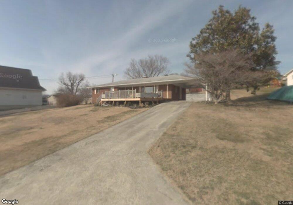
147 Simpson Ln Bean Station, TN 37708
Estimated Value: $315,336 - $483,000
--
Bed
1
Bath
1,359
Sq Ft
$291/Sq Ft
Est. Value
About This Home
This home is located at 147 Simpson Ln, Bean Station, TN 37708 and is currently estimated at $395,084, approximately $290 per square foot. 147 Simpson Ln is a home with nearby schools including Bean Station Elementary School, Rutledge Middle School, and Grainger High School.
Ownership History
Date
Name
Owned For
Owner Type
Purchase Details
Closed on
Jan 30, 2008
Sold by
Garner John C
Bought by
Evans Deidra Davis
Current Estimated Value
Home Financials for this Owner
Home Financials are based on the most recent Mortgage that was taken out on this home.
Original Mortgage
$233,500
Outstanding Balance
$45,240
Interest Rate
6.06%
Mortgage Type
Cash
Estimated Equity
$349,844
Purchase Details
Closed on
Jul 1, 2007
Sold by
Garner John C
Bought by
Britton David
Purchase Details
Closed on
Jan 19, 2000
Sold by
Thomas Grace
Bought by
Mccraw Edward
Create a Home Valuation Report for This Property
The Home Valuation Report is an in-depth analysis detailing your home's value as well as a comparison with similar homes in the area
Home Values in the Area
Average Home Value in this Area
Purchase History
| Date | Buyer | Sale Price | Title Company |
|---|---|---|---|
| Evans Deidra Davis | $255,000 | -- | |
| Britton David | $8,500 | -- | |
| Mccraw Edward | $75,000 | -- |
Source: Public Records
Mortgage History
| Date | Status | Borrower | Loan Amount |
|---|---|---|---|
| Open | Mccraw Edward | $233,500 |
Source: Public Records
Tax History Compared to Growth
Tax History
| Year | Tax Paid | Tax Assessment Tax Assessment Total Assessment is a certain percentage of the fair market value that is determined by local assessors to be the total taxable value of land and additions on the property. | Land | Improvement |
|---|---|---|---|---|
| 2024 | $852 | $36,275 | $9,725 | $26,550 |
| 2023 | $0 | $36,275 | $9,725 | $26,550 |
| 2022 | $833 | $36,275 | $9,725 | $26,550 |
| 2021 | $833 | $36,275 | $9,725 | $26,550 |
| 2020 | $897 | $36,275 | $9,725 | $26,550 |
| 2019 | $897 | $32,050 | $9,525 | $22,525 |
| 2018 | $776 | $32,050 | $9,525 | $22,525 |
| 2017 | $776 | $32,050 | $9,525 | $22,525 |
| 2016 | $776 | $32,050 | $9,525 | $22,525 |
| 2015 | $714 | $32,050 | $9,525 | $22,525 |
| 2014 | $714 | $28,560 | $0 | $0 |
Source: Public Records
Map
Nearby Homes
- 143 Sunset Ln
- 1199 Oak Grove Rd
- 337 White Ln
- 342 Newman Hollow Rd
- 1793 Cherokee Dr
- 222 Sandpiper Ln
- 314 Sandpiper Ln
- 424 Sandpiper Ln
- Lot 39 Logans Bluff
- 164 Logans Bluff
- Lot 10R Rhondas Way
- 0 Rhondas Way
- 0 Paradise Mountain Ln Unit 1314541
- TBD Rhondas Way
- 00 Rocky Springs Rd
- 4066 Lakeshore Dr
- 886 Tate Rd
- 1607 Tater Hill Rd
- 602 Kirkham Rd
- 144 Hugh Hayes Ln
- 105 Simpson Ln
- 195 Simpson Ln
- 809 Wildcat Rd
- 757 Wildcat Rd
- 832 Wildcat Rd
- 858 Wildcat Rd
- 890 Wildcat Rd
- 924 Wildcat Rd
- 970 Wildcat Rd
- 240 Simpson Ln
- 1016 Wildcat Rd
- 329 Simpson Ln
- 233 Sunset Ln
- Simpson La Simpson Ln
- Simpson Lane Simpson Ln
- 330 Simpson Ln
- 0 Simpson Ln Unit 1035245
- 0 Simpson Ln Unit 1035244
- 0 Simpson Ln Unit 577469
- 1100 Wildcat Rd