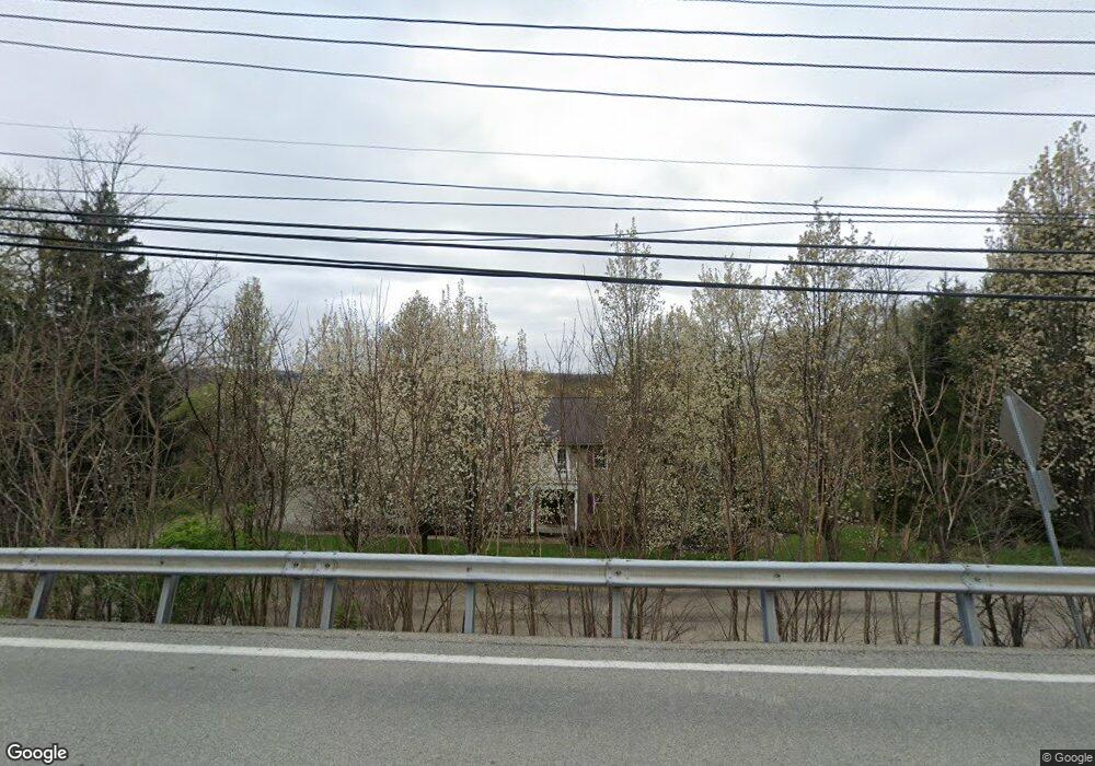
1470 Mayview Rd Pittsburgh, PA 15241
Estimated Value: $472,000 - $609,000
4
Beds
4
Baths
2,800
Sq Ft
$192/Sq Ft
Est. Value
About This Home
This home is located at 1470 Mayview Rd, Pittsburgh, PA 15241 and is currently estimated at $538,648, approximately $192 per square foot. 1470 Mayview Rd is a home located in Allegheny County with nearby schools including Upper St. Clair High School.
Ownership History
Date
Name
Owned For
Owner Type
Purchase Details
Closed on
Dec 30, 2008
Sold by
First Mariner Bank
Bought by
Kuhn Blaine D
Current Estimated Value
Home Financials for this Owner
Home Financials are based on the most recent Mortgage that was taken out on this home.
Original Mortgage
$140,000
Outstanding Balance
$92,247
Interest Rate
5.99%
Mortgage Type
New Conventional
Estimated Equity
$446,401
Purchase Details
Closed on
Sep 14, 1998
Sold by
Burke Timothy
Bought by
Underhill Richard S
Purchase Details
Closed on
Oct 3, 1997
Sold by
Coon Eugene L and Defazio Peter R
Bought by
Lagattuta Paula J and Lagattuta Joan D
Purchase Details
Closed on
Jan 1, 1900
Create a Home Valuation Report for This Property
The Home Valuation Report is an in-depth analysis detailing your home's value as well as a comparison with similar homes in the area
Home Values in the Area
Average Home Value in this Area
Purchase History
| Date | Buyer | Sale Price | Title Company |
|---|---|---|---|
| Kuhn Blaine D | $87,500 | -- | |
| Underhill Richard S | $77,086 | -- | |
| Lagattuta Paula J | $61,000 | -- | |
| -- | -- | -- |
Source: Public Records
Mortgage History
| Date | Status | Borrower | Loan Amount |
|---|---|---|---|
| Open | Kuhn Blaine D | $140,000 |
Source: Public Records
Tax History Compared to Growth
Tax History
| Year | Tax Paid | Tax Assessment Tax Assessment Total Assessment is a certain percentage of the fair market value that is determined by local assessors to be the total taxable value of land and additions on the property. | Land | Improvement |
|---|---|---|---|---|
| 2025 | $6,913 | $181,000 | $28,000 | $153,000 |
| 2024 | $6,913 | $181,000 | $28,000 | $153,000 |
| 2023 | $6,719 | $181,000 | $28,000 | $153,000 |
| 2022 | $6,559 | $181,000 | $28,000 | $153,000 |
| 2021 | $856 | $181,000 | $28,000 | $153,000 |
| 2020 | $6,324 | $181,000 | $28,000 | $153,000 |
| 2019 | $6,230 | $181,000 | $28,000 | $153,000 |
| 2018 | $856 | $181,000 | $28,000 | $153,000 |
| 2017 | $5,954 | $181,000 | $28,000 | $153,000 |
| 2016 | $856 | $181,000 | $28,000 | $153,000 |
| 2015 | $856 | $181,000 | $28,000 | $153,000 |
| 2014 | $5,568 | $181,000 | $28,000 | $153,000 |
Source: Public Records
Map
Nearby Homes
- 250 Portman Ln Unit A
- 1560 Mayview Rd
- 1435 Morrow Rd
- 1331 Morrow Rd
- 1005 Tall Trees Dr
- 1251 Greystone Dr
- 1109 Bank St
- 2013 Ashton Row
- 1115 Sray Ln
- 2122 Westcott Ln
- Ashby Plan at Hastings - Single Family
- Royston Plan at Hastings - Single Family
- Corby Plan at Hastings - Single Family
- Helston Plan at Hastings - Single Family
- Marlow Plan at Hastings - Single Family
- Bromley Plan at Hastings - Single Family
- 1438 Hastings Crescent Unit Royston
- 1005 Lakemont Dr
- 4022 Cottage Way
- 4020 Cottage Way
- 1472 Mayview Rd
- 1460 Mayview Rd
- 1205 Satellite Cir
- 1476 Mayview Rd
- 1213 Satellite Cir
- 1201 Satellite Cir
- 1215 Satellite Cir
- 1137 Galaxy Cir
- 1450 Mayview Rd
- 1141 Galaxy Cir
- 1478 Mayview Rd
- 1225 Satellite Cir
- 1133 Galaxy Cir
- 1470 Meteor Cir
- 1200 Satellite Cir
- 1197 Satellite Cir
- 1161 Polaris Cir
- 1208 Satellite Cir
- 1451 Meteor Cir
- 1216 Satellite Cir