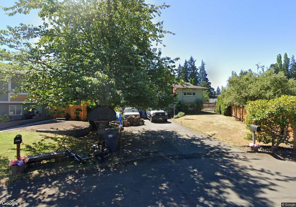
14709 12th Ave E Tacoma, WA 98445
Estimated Value: $482,947 - $510,000
3
Beds
2
Baths
1,752
Sq Ft
$285/Sq Ft
Est. Value
About This Home
This home is located at 14709 12th Ave E, Tacoma, WA 98445 and is currently estimated at $498,987, approximately $284 per square foot. 14709 12th Ave E is a home located in Pierce County with nearby schools including Chester H. Thompson Elementary School, Spanaway Middle School, and Spanaway Lake High School.
Ownership History
Date
Name
Owned For
Owner Type
Purchase Details
Closed on
Apr 29, 1996
Sold by
Va
Bought by
Hurt Ii Lewis G and Hurt Robin M
Current Estimated Value
Home Financials for this Owner
Home Financials are based on the most recent Mortgage that was taken out on this home.
Original Mortgage
$110,000
Outstanding Balance
$6,165
Interest Rate
7.82%
Mortgage Type
Seller Take Back
Estimated Equity
$492,822
Purchase Details
Closed on
Dec 4, 1995
Sold by
Oakley Kelley B and Oakley Paula J
Bought by
Bancboston Mtg Corp
Home Financials for this Owner
Home Financials are based on the most recent Mortgage that was taken out on this home.
Original Mortgage
$109,494
Interest Rate
7.48%
Mortgage Type
Seller Take Back
Purchase Details
Closed on
Sep 13, 1995
Sold by
Bancboston Mtg Corp
Bought by
Va
Create a Home Valuation Report for This Property
The Home Valuation Report is an in-depth analysis detailing your home's value as well as a comparison with similar homes in the area
Home Values in the Area
Average Home Value in this Area
Purchase History
| Date | Buyer | Sale Price | Title Company |
|---|---|---|---|
| Hurt Ii Lewis G | -- | Transnation Title Insurance | |
| Bancboston Mtg Corp | $94,149 | -- | |
| Va | -- | -- |
Source: Public Records
Mortgage History
| Date | Status | Borrower | Loan Amount |
|---|---|---|---|
| Open | Hurt Ii Lewis G | $110,000 | |
| Previous Owner | Bancboston Mtg Corp | $109,494 |
Source: Public Records
Tax History
| Year | Tax Paid | Tax Assessment Tax Assessment Total Assessment is a certain percentage of the fair market value that is determined by local assessors to be the total taxable value of land and additions on the property. | Land | Improvement |
|---|---|---|---|---|
| 2025 | $5,122 | $474,100 | $211,500 | $262,600 |
| 2024 | $5,122 | $463,000 | $204,100 | $258,900 |
| 2023 | $5,122 | $438,500 | $178,400 | $260,100 |
| 2022 | $5,026 | $455,200 | $178,400 | $276,800 |
| 2021 | $4,598 | $326,800 | $105,800 | $221,000 |
| 2019 | $3,343 | $296,500 | $87,600 | $208,900 |
| 2018 | $3,759 | $275,000 | $79,800 | $195,200 |
| 2017 | $3,335 | $241,700 | $70,100 | $171,600 |
| 2016 | $2,975 | $195,500 | $60,300 | $135,200 |
| 2014 | $2,623 | $175,800 | $56,900 | $118,900 |
| 2013 | $2,623 | $159,000 | $47,500 | $111,500 |
Source: Public Records
Map
Nearby Homes
- 14701 11th Avenue Ct E
- 14909 11th Avenue Ct E
- 15017 11th Avenue Ct E
- 15001 11th Ave E
- 14324 14th Avenue Ct E
- 14312 14th Avenue Ct E
- 14306 14th Avenue Ct E
- 14311 14th Avenue Ct E
- 14216 14th Avenue Ct E
- 14202 14th Avenue Ct E
- 1530 141st St E Unit 62
- 1606 141st St E Unit 59
- 1530 141st St E Unit 42
- 1522 141st St E Unit 64
- 1503 141st St E Unit 69
- 1512 141st St E Unit 66
- 1506 141st St E Unit 67
- 1518 141st St E Unit 65
- 1507 141st St E Unit 70
- 1515 141st St E Unit 72
- 14707 12th Ave E
- 14719 12th Ave E
- 14711 12th Ave E
- 14809 12th Ave E
- 14801 12th Ave E
- 14705 12th Ave E
- 14701 12th Ave E
- 14716 12th Ave E
- 14708 12th Ave E
- 14703 12th Ave E
- 1128 148th St E
- 14812 12th Ave E
- 14702 12th Ave E
- 14808 12th Ave E
- 14806 12th Ave E
- 14810 12th Ave E
- 14804 12th Ave E
- 14601 12th Ave E
- 14610 12th Ave E
- 14501 12th Ave E
Your Personal Tour Guide
Ask me questions while you tour the home.