1471 Sanford Place Dunlap, IA 51529
Estimated Value: $228,000 - $334,000
5
Beds
2
Baths
1,750
Sq Ft
$164/Sq Ft
Est. Value
About This Home
This home is located at 1471 Sanford Place, Dunlap, IA 51529 and is currently estimated at $286,587, approximately $163 per square foot. 1471 Sanford Place is a home located in Harrison County with nearby schools including Woodbine Elementary School and Woodbine High School.
Ownership History
Date
Name
Owned For
Owner Type
Purchase Details
Closed on
Mar 29, 2013
Sold by
Lorenzen Monica and Stolley Richard Allen
Bought by
Lorenzen Monica and Stolley Richard Allen
Current Estimated Value
Home Financials for this Owner
Home Financials are based on the most recent Mortgage that was taken out on this home.
Original Mortgage
$63,000
Outstanding Balance
$44,417
Interest Rate
3.52%
Mortgage Type
Future Advance Clause Open End Mortgage
Estimated Equity
$242,170
Purchase Details
Closed on
Mar 21, 2013
Sold by
Federal National Mortgage Association
Bought by
Lorenzen Monica and Stolley Richard Allen
Home Financials for this Owner
Home Financials are based on the most recent Mortgage that was taken out on this home.
Original Mortgage
$63,000
Outstanding Balance
$44,417
Interest Rate
3.52%
Mortgage Type
Future Advance Clause Open End Mortgage
Estimated Equity
$242,170
Create a Home Valuation Report for This Property
The Home Valuation Report is an in-depth analysis detailing your home's value as well as a comparison with similar homes in the area
Home Values in the Area
Average Home Value in this Area
Purchase History
| Date | Buyer | Sale Price | Title Company |
|---|---|---|---|
| Lorenzen Monica | -- | None Available | |
| Lorenzen Monica | -- | None Available |
Source: Public Records
Mortgage History
| Date | Status | Borrower | Loan Amount |
|---|---|---|---|
| Open | Lorenzen Monica | $63,000 |
Source: Public Records
Tax History Compared to Growth
Tax History
| Year | Tax Paid | Tax Assessment Tax Assessment Total Assessment is a certain percentage of the fair market value that is determined by local assessors to be the total taxable value of land and additions on the property. | Land | Improvement |
|---|---|---|---|---|
| 2025 | $3,134 | $285,520 | $36,720 | $248,800 |
| 2024 | $3,144 | $249,590 | $33,360 | $216,230 |
| 2023 | $2,900 | $249,590 | $33,360 | $216,230 |
| 2022 | $2,861 | $192,955 | $33,360 | $159,595 |
| 2021 | $2,861 | $192,955 | $33,360 | $159,595 |
| 2020 | $2,565 | $174,066 | $33,360 | $140,706 |
| 2019 | $1,168 | $174,066 | $33,360 | $140,706 |
| 2018 | $1,172 | $75,813 | $0 | $0 |
| 2017 | $1,172 | $75,813 | $0 | $0 |
| 2016 | $1,198 | $75,813 | $0 | $0 |
| 2015 | $1,092 | $68,300 | $0 | $0 |
| 2014 | $1,054 | $68,300 | $0 | $0 |
Source: Public Records
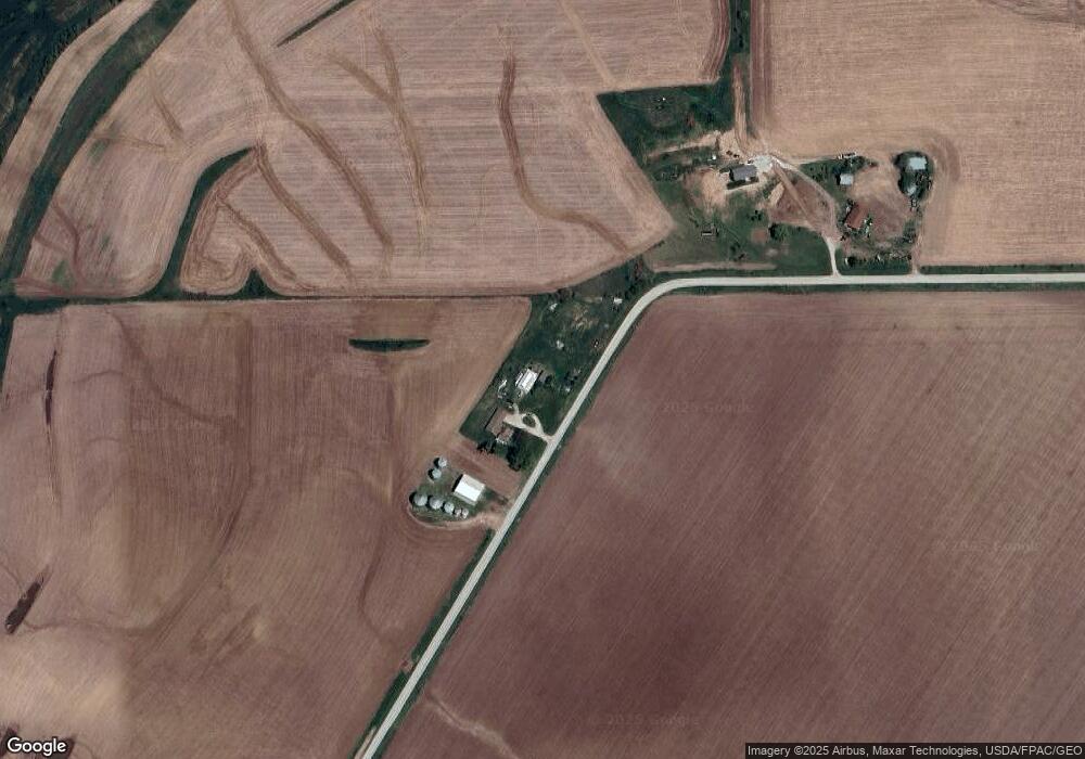
Map
Nearby Homes
- 211 Brookview Dr
- 37 10th St
- 808 Park St
- 202 Y St
- 42 6th St
- 406 Weare St
- 102 Bluegrass Ln
- 101 Bluegrass Ln
- 907 Harvest Hills Dr
- 106 Bluegrass Ln
- 905 Harvest Hills Dr
- 903 Harvest Hills Dr
- 111 Ridgeline Rd
- 906 Harvest Hills Dr
- 904 Harvest Hills Dr
- 902 Harvest Hills Dr
- 809 Harvest Hills Dr
- 305 Normal St
- 118 Ridgeline Rd