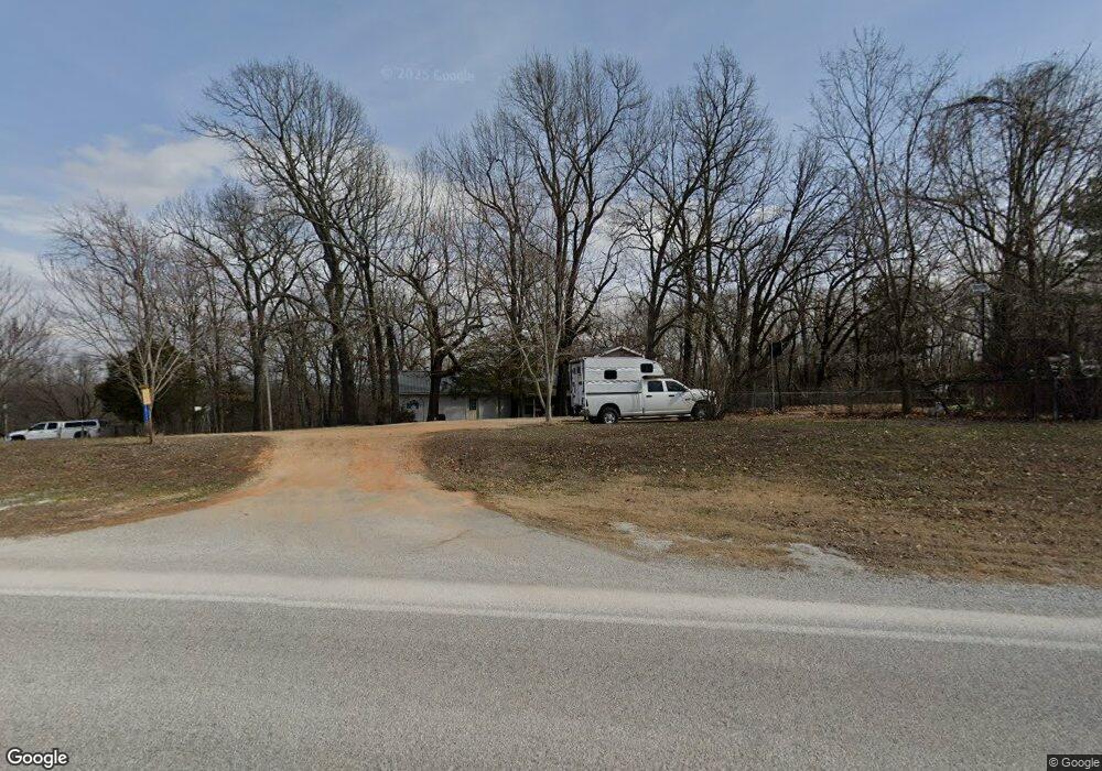
14711 E Highway 264 Lowell, AR 72745
Estimated Value: $348,401 - $462,000
Studio
2
Baths
2,556
Sq Ft
$150/Sq Ft
Est. Value
About This Home
This home is located at 14711 E Highway 264, Lowell, AR 72745 and is currently estimated at $384,100, approximately $150 per square foot. 14711 E Highway 264 is a home located in Benton County with nearby schools including Monitor Elementary School, Sonora Middle School, and Lakeside Junior High School.
Ownership History
Date
Name
Owned For
Owner Type
Purchase Details
Closed on
Apr 30, 2010
Sold by
Weaver Michelle
Bought by
Weaver Darrell
Current Estimated Value
Purchase Details
Closed on
Feb 23, 2006
Sold by
Accommodators Northwest Group Llc
Bought by
Arkansas State Highway Commission
Purchase Details
Closed on
Sep 3, 2002
Bought by
Weaver
Purchase Details
Closed on
Feb 28, 2000
Bought by
Weaver Weaver and Weaver Same
Purchase Details
Closed on
Jan 25, 2000
Bought by
Nicholas
Purchase Details
Closed on
Jun 5, 1996
Bought by
Weaver
Purchase Details
Closed on
Apr 28, 1993
Bought by
Weaver
Purchase Details
Closed on
May 14, 1992
Bought by
Weaver
Create a Home Valuation Report for This Property
The Home Valuation Report is an in-depth analysis detailing your home's value as well as a comparison with similar homes in the area
Purchase History
| Date | Buyer | Sale Price | Title Company |
|---|---|---|---|
| Weaver Darrell | -- | None Available | |
| Arkansas State Highway Commission | -- | None Available | |
| Weaver | -- | -- | |
| Weaver Weaver | -- | -- | |
| Nicholas | $8,000 | -- | |
| Weaver | -- | -- | |
| Weaver | -- | -- | |
| Weaver | $16,000 | -- |
Source: Public Records
Tax History
| Year | Tax Paid | Tax Assessment Tax Assessment Total Assessment is a certain percentage of the fair market value that is determined by local assessors to be the total taxable value of land and additions on the property. | Land | Improvement |
|---|---|---|---|---|
| 2025 | $2,043 | $57,864 | $15,667 | $42,197 |
| 2024 | $1,587 | $57,864 | $15,667 | $42,197 |
| 2023 | $1,514 | $41,740 | $12,240 | $29,500 |
| 2022 | $1,158 | $41,740 | $12,240 | $29,500 |
| 2021 | $1,091 | $41,740 | $12,240 | $29,500 |
| 2020 | $1,029 | $27,810 | $5,710 | $22,100 |
| 2019 | $1,029 | $27,810 | $5,710 | $22,100 |
| 2018 | $1,054 | $27,810 | $5,710 | $22,100 |
| 2017 | $763 | $21,700 | $5,710 | $15,990 |
| 2016 | $763 | $21,700 | $5,710 | $15,990 |
| 2015 | $1,051 | $22,070 | $6,530 | $15,540 |
| 2014 | $781 | $22,070 | $6,530 | $15,540 |
Source: Public Records
Map
Nearby Homes
- 0 E Ar Hwy 264 Unit 1303701
- TBD Park Ridge Dr
- 0 Blueberry Ln
- 4390 Reed Ave
- 3960 Arkansas 264
- 14689 Frisco Springs Rd
- 0 Monitor Rd Unit 1301451
- 15364 Twin Pines Rd
- 5786 Ervin McGarrah Rd
- 0 Tyson Rd
- 2.57 Ac E Monitor Rd
- Lot 1 Ervin McGarrah Rd
- Lot 2 Ervin McGarrah Rd
- Lot 3 Ervin McGarrah Rd
- 12365 Tyson Rd
- 5475 Colvin Place
- 14201 Horse Shoe Dr
- 14241 Horse Shoe Dr
- 12161 Shore Dr
- 3316 N Mountain Rd
- 14729 E Highway 264
- 14727 E Highway 264
- 14406 E Highway 264
- 8821 Highway 264
- 14597 E Highway 264
- 14785 E Highway 264
- 14797 E Highway 264
- 14570 E Highway 264
- 14811 E Highway 264
- 14658 Cow Face Rd
- 14568 E Highway 264
- 14829 E Highway 264
- 14566 E Highway 264
- 14573 El Kaney Ln
- 14564 E Highway 264
- 14185 E Highway 264
- 14830 E Highway 264
- 14637 Cow Face Rd
- 14551 Cow Face Rd
- 14857 E Highway 264
Your Personal Tour Guide
Ask me questions while you tour the home.