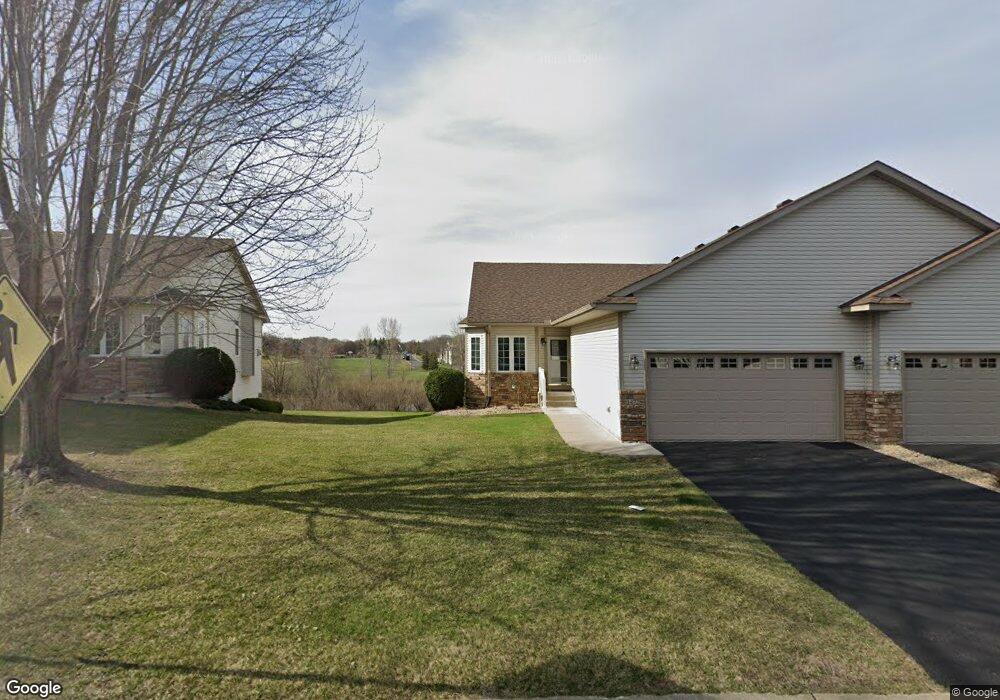
1472 129th Ave NW Coon Rapids, MN 55448
Estimated Value: $400,389 - $519,000
2
Beds
3
Baths
1,576
Sq Ft
$277/Sq Ft
Est. Value
About This Home
This home is located at 1472 129th Ave NW, Coon Rapids, MN 55448 and is currently estimated at $436,347, approximately $276 per square foot. 1472 129th Ave NW is a home located in Anoka County with nearby schools including Sand Creek Elementary School, Coon Rapids Middle School, and Coon Rapids Senior High School.
Ownership History
Date
Name
Owned For
Owner Type
Purchase Details
Closed on
Nov 30, 2017
Sold by
Payment Gary and Payment Lois
Bought by
Watters Ruth M
Current Estimated Value
Home Financials for this Owner
Home Financials are based on the most recent Mortgage that was taken out on this home.
Original Mortgage
$255,000
Outstanding Balance
$214,354
Interest Rate
3.88%
Mortgage Type
New Conventional
Estimated Equity
$221,993
Create a Home Valuation Report for This Property
The Home Valuation Report is an in-depth analysis detailing your home's value as well as a comparison with similar homes in the area
Home Values in the Area
Average Home Value in this Area
Purchase History
| Date | Buyer | Sale Price | Title Company |
|---|---|---|---|
| Watters Ruth M | $307,500 | Liberty Title Inc |
Source: Public Records
Mortgage History
| Date | Status | Borrower | Loan Amount |
|---|---|---|---|
| Open | Watters Ruth M | $255,000 |
Source: Public Records
Tax History Compared to Growth
Tax History
| Year | Tax Paid | Tax Assessment Tax Assessment Total Assessment is a certain percentage of the fair market value that is determined by local assessors to be the total taxable value of land and additions on the property. | Land | Improvement |
|---|---|---|---|---|
| 2025 | $3,840 | $376,100 | $75,000 | $301,100 |
| 2024 | $3,840 | $364,900 | $77,000 | $287,900 |
| 2023 | $4,060 | $407,400 | $71,500 | $335,900 |
| 2022 | $3,813 | $409,500 | $61,600 | $347,900 |
| 2021 | $3,732 | $343,400 | $38,000 | $305,400 |
| 2020 | $3,827 | $328,900 | $35,000 | $293,900 |
| 2019 | $3,617 | $323,200 | $35,000 | $288,200 |
| 2018 | $3,624 | $298,000 | $0 | $0 |
| 2017 | $3,469 | $289,400 | $0 | $0 |
| 2016 | $3,539 | $272,000 | $0 | $0 |
| 2015 | -- | $272,000 | $39,600 | $232,400 |
| 2014 | -- | $225,000 | $20,000 | $205,000 |
Source: Public Records
Map
Nearby Homes
- 1520 129th Ave NW
- 12796 Bluebird St NW
- 12859 Grouse St NW
- 1450 126th Ln NW
- 1234 128th Cir NW
- 1593 126th Ln NW
- 12554 Grouse St NW
- 1687 131st Ln NW
- 12463 Drake St NW
- 1930 127th Cir NW
- 1625 124th Ave NW
- 1776 133rd Ave NW
- 12365 Jay St NW
- 12488 Unity St NW
- 12760 Raven St NW
- 2147 125th Ln NW
- 1727 121st Ln NW
- 899 123rd Ln NW
- 12010 Eagle St NW
- 13416 Swallow St NW
- 1480 129th Ave NW
- 1464 129th Ave NW
- 1488 129th Ave NW
- 1456 129th Ave NW
- 1496 129th Ave NW
- 1448 129th Ave NW
- 1471 129th Ave NW
- 1504 129th Ave NW
- 1440 129th Ave NW
- 1501 129th Ave NW
- 1503 129th Ave NW
- 1512 129th Ave NW
- 1513 129th Ave NW
- 12872 Bluebird St NW
- 12886 Bluebird St NW
- 12858 Bluebird St NW
- 1528 129th Ave NW
- 1521 129th Ave NW
- 12844 Bluebird St NW
- 12866 Drake St NW