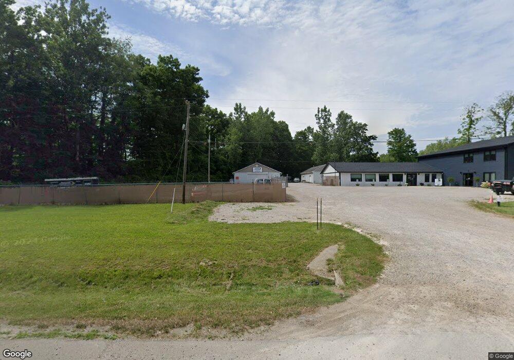
1472 State Route 42 Mansfield, OH 44903
Estimated Value: $194,398
--
Bed
--
Bath
7,200
Sq Ft
$27/Sq Ft
Est. Value
About This Home
This home is located at 1472 State Route 42, Mansfield, OH 44903 and is currently priced at $194,398, approximately $26 per square foot. 1472 State Route 42 is a home located in Ashland County with nearby schools including Ashland High School, St. Mary Catholic School, and Temple-Christian School.
Ownership History
Date
Name
Owned For
Owner Type
Purchase Details
Closed on
Jan 8, 2016
Sold by
Workman Robbie L
Bought by
Top Flight Real Estate Llc
Current Estimated Value
Purchase Details
Closed on
Oct 19, 2006
Sold by
Coffman Ernie L
Bought by
Workman Robbie L
Purchase Details
Closed on
Apr 25, 2000
Sold by
Coffman Ernie L
Bought by
Coffman Ernie L
Purchase Details
Closed on
Aug 6, 1976
Bought by
Coffman Ernie L
Create a Home Valuation Report for This Property
The Home Valuation Report is an in-depth analysis detailing your home's value as well as a comparison with similar homes in the area
Home Values in the Area
Average Home Value in this Area
Purchase History
| Date | Buyer | Sale Price | Title Company |
|---|---|---|---|
| Top Flight Real Estate Llc | $106,000 | Ashland Title Agcy | |
| Workman Robbie L | $125,000 | -- | |
| Coffman Ernie L | $135,000 | -- | |
| Coffman Ernie L | $3,500 | -- |
Source: Public Records
Tax History Compared to Growth
Tax History
| Year | Tax Paid | Tax Assessment Tax Assessment Total Assessment is a certain percentage of the fair market value that is determined by local assessors to be the total taxable value of land and additions on the property. | Land | Improvement |
|---|---|---|---|---|
| 2024 | $14,857 | $249,880 | $9,200 | $240,680 |
| 2023 | $14,857 | $249,880 | $9,200 | $240,680 |
| 2022 | $14,877 | $237,980 | $8,760 | $229,220 |
| 2021 | $3,216 | $49,580 | $8,760 | $40,820 |
| 2020 | $3,124 | $49,580 | $8,760 | $40,820 |
| 2019 | $2,912 | $44,210 | $9,640 | $34,570 |
| 2018 | $2,968 | $44,210 | $9,640 | $34,570 |
| 2017 | $2,605 | $38,890 | $9,640 | $29,250 |
| 2016 | $2,542 | $37,200 | $9,640 | $27,560 |
| 2015 | $2,554 | $37,200 | $9,640 | $27,560 |
| 2013 | $3,132 | $42,430 | $9,160 | $33,270 |
Source: Public Records
Map
Nearby Homes
- 1767 State Route 603
- 2202 Lakewood Dr
- 1951 Woodmont Rd
- 1997 Hout Rd
- 2270 Lakecrest Dr Unit 2272
- 1806 Richard Dr
- 1910 Crider Rd
- 0 Satinwood Dr
- 1791 Beal Rd
- 1292 Wolford Rd
- 630 Impala Dr
- 598 Impala Dr
- 1171 Hoover Rd
- 2641 State Route 430
- 1585 Beal Rd
- 903 Mayflower Ave
- 640 Running Brook Way
- 0 Hoover Rd
- 641 Laver Rd
- 19 Maine St
- 1472 U S 42
- 1425 County Road 1688
- 2090 U S 42
- 1425 Township Road 1688
- 1425 County Road 1688
- 1425 1688
- 1431 County Road 1688
- 1431 County Road 1688
- 4905 Ashland Rd
- 1444 U S 42
- 1439 Ashland Rd
- 1670 Township Road 1455 Unit 1455
- 1670 Township Road 1455
- 1670 1455
- 1682 T R 1419
- 1672 Township Road 1419
- 1678 Township Road 1419
- 1682 Township Road 1419
- 1686 Township Road 1419
- 1694 Township Road 1419