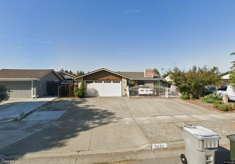
1473 Rue Avati San Jose, CA 95131
Vinci North NeighborhoodEstimated Value: $1,215,000 - $1,330,694
3
Beds
2
Baths
1,041
Sq Ft
$1,227/Sq Ft
Est. Value
About This Home
This home is located at 1473 Rue Avati, San Jose, CA 95131 and is currently estimated at $1,277,424, approximately $1,227 per square foot. 1473 Rue Avati is a home located in Santa Clara County with nearby schools including Brooktree Elementary School, Morrill Middle School, and Independence High School.
Ownership History
Date
Name
Owned For
Owner Type
Purchase Details
Closed on
Jul 17, 2013
Sold by
Do Ty Huu and Dao Diep Thi
Bought by
Do King
Current Estimated Value
Home Financials for this Owner
Home Financials are based on the most recent Mortgage that was taken out on this home.
Original Mortgage
$400,000
Outstanding Balance
$290,366
Interest Rate
3.88%
Mortgage Type
Seller Take Back
Estimated Equity
$987,058
Purchase Details
Closed on
Dec 8, 1997
Sold by
Do Ty H and Thi Diep
Bought by
Do Ty Huu and Dao Diep Thi
Create a Home Valuation Report for This Property
The Home Valuation Report is an in-depth analysis detailing your home's value as well as a comparison with similar homes in the area
Home Values in the Area
Average Home Value in this Area
Purchase History
| Date | Buyer | Sale Price | Title Company |
|---|---|---|---|
| Do King | $400,000 | Fidelity National Title Co | |
| Do Ty Huu | -- | -- |
Source: Public Records
Mortgage History
| Date | Status | Borrower | Loan Amount |
|---|---|---|---|
| Open | Do King | $400,000 |
Source: Public Records
Tax History Compared to Growth
Tax History
| Year | Tax Paid | Tax Assessment Tax Assessment Total Assessment is a certain percentage of the fair market value that is determined by local assessors to be the total taxable value of land and additions on the property. | Land | Improvement |
|---|---|---|---|---|
| 2025 | $4,924 | $277,512 | $83,244 | $194,268 |
| 2024 | $4,924 | $272,071 | $81,612 | $190,459 |
| 2023 | $4,803 | $266,737 | $80,012 | $186,725 |
| 2022 | $4,773 | $261,508 | $78,444 | $183,064 |
| 2021 | $4,588 | $256,381 | $76,906 | $179,475 |
| 2020 | $4,421 | $253,753 | $76,118 | $177,635 |
| 2019 | $4,247 | $248,778 | $74,626 | $174,152 |
| 2018 | $4,173 | $243,901 | $73,163 | $170,738 |
| 2017 | $4,174 | $239,120 | $71,729 | $167,391 |
| 2016 | $3,996 | $234,432 | $70,323 | $164,109 |
| 2015 | $3,941 | $230,911 | $69,267 | $161,644 |
| 2014 | $3,420 | $530,000 | $400,000 | $130,000 |
Source: Public Records
Map
Nearby Homes
- 1475 Leaftree Cir
- 1441 Rocklin Ct Unit 112
- 0 Lundy Ave
- 1968 Nutmeg Ct
- 1399 Meadow Ridge Cir
- 1337 Araujo St
- 1273 Briarberry Ct
- 1612 Parkview Green Cir
- 1360 Tanaka Dr
- 1735 Parkview Green Cir
- 1291 Royal Crest Dr
- 1671 Silvertree Dr
- 324 Morning Star Dr Unit 43
- 314 Morning Star Dr Unit 38
- 1233 Briarleaf Cir
- 1599 Clampett Way
- 2204 Ladymuir Ct
- 1788 Camino Leonor
- 2044 Voss Park Ln
- 1296 Mayberry Ln