14737 Basingstoke Loop Centreville, VA 20120
Estimated Value: $421,000 - $455,000
2
Beds
2
Baths
1,332
Sq Ft
$326/Sq Ft
Est. Value
About This Home
This home is located at 14737 Basingstoke Loop, Centreville, VA 20120 and is currently estimated at $434,330, approximately $326 per square foot. 14737 Basingstoke Loop is a home located in Fairfax County with nearby schools including London Towne Elementary School, Ormond Stone Middle School, and Westfield High School.
Ownership History
Date
Name
Owned For
Owner Type
Purchase Details
Closed on
Apr 19, 2010
Sold by
Wine Sandra J
Bought by
Purcell Trustee Ann F and Ann F Purcell Revocable Trust
Current Estimated Value
Purchase Details
Closed on
Apr 30, 1999
Sold by
Avalos Carlos A
Bought by
Wine Sandra J
Home Financials for this Owner
Home Financials are based on the most recent Mortgage that was taken out on this home.
Original Mortgage
$99,750
Interest Rate
6.95%
Create a Home Valuation Report for This Property
The Home Valuation Report is an in-depth analysis detailing your home's value as well as a comparison with similar homes in the area
Home Values in the Area
Average Home Value in this Area
Purchase History
| Date | Buyer | Sale Price | Title Company |
|---|---|---|---|
| Purcell Trustee Ann F | $219,000 | -- | |
| Wine Sandra J | $105,000 | -- |
Source: Public Records
Mortgage History
| Date | Status | Borrower | Loan Amount |
|---|---|---|---|
| Previous Owner | Wine Sandra J | $99,750 |
Source: Public Records
Tax History
| Year | Tax Paid | Tax Assessment Tax Assessment Total Assessment is a certain percentage of the fair market value that is determined by local assessors to be the total taxable value of land and additions on the property. | Land | Improvement |
|---|---|---|---|---|
| 2025 | -- | $425,250 | $160,000 | $265,250 |
| 2023 | $4,079 | $361,450 | $120,000 | $241,450 |
| 2022 | $3,811 | $333,250 | $110,000 | $223,250 |
| 2021 | $0 | $306,450 | $100,000 | $206,450 |
| 2020 | $3,378 | $285,390 | $90,000 | $195,390 |
| 2019 | $3,313 | $279,890 | $90,000 | $189,890 |
| 2018 | $3,041 | $264,470 | $80,000 | $184,470 |
| 2017 | $2,971 | $255,920 | $75,000 | $180,920 |
| 2016 | $2,879 | $248,480 | $70,000 | $178,480 |
Source: Public Records
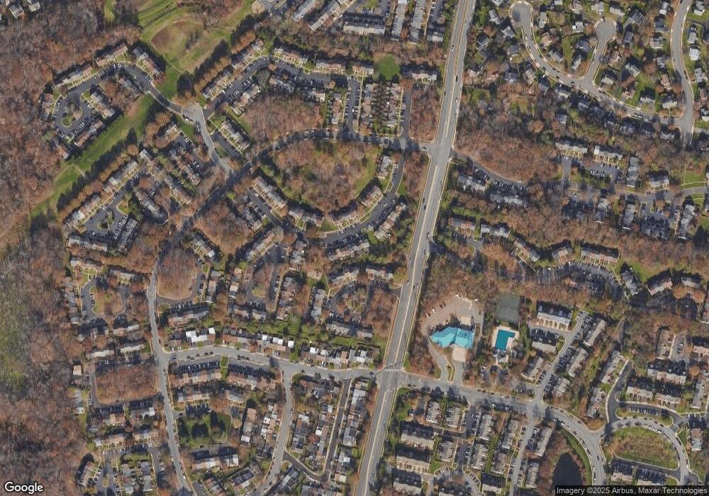
Map
Nearby Homes
- 14730 Basingstoke Loop
- 14816 Millicent Ct
- 14636 Olde Kent Rd
- 14669 Battery Ridge Ln
- 14661 Battery Ridge Ln
- 14609 Olde Kent Rd
- 5847 Belcher Farm Dr
- 6223 Stonepath Cir
- 14513 Battery Ridge Ln
- 14726 Beaumeadow Dr
- 14706 Deer Lake Ct
- 6133 Stonepath Cir
- 14611 Winterfield Dr
- 6185 Stonepath Cir
- 14511 Oak Cluster Dr
- 6136 Gothwaite Dr
- 5870 Linden Creek Ct
- 5812 Stone Creek Dr
- 5814 Deer Pond Rd
- 14525 Four Chimney Dr
- 14739 Basingstoke Loop
- 14735 Basingstoke Loop
- 14741 Basingstoke Loop
- 14733 Basingstoke Loop
- 14743 Basingstoke Loop
- 14731 Basingstoke Loop
- 14745 Basingstoke Loop
- 14712 Southwarke Place
- 14714 Southwarke Place
- 14747 Basingstoke Loop
- 14710 Southwarke Place
- 14716 Southwarke Place
- 14749 Basingstoke Loop
- 14708 Southwarke Place
- 14729 Basingstoke Loop
- 14718 Southwarke Place
- 14706 Southwarke Place
- 14720 Southwarke Place
- 14727 Basingstoke Loop
- 14736 Basingstoke Loop
Your Personal Tour Guide
Ask me questions while you tour the home.