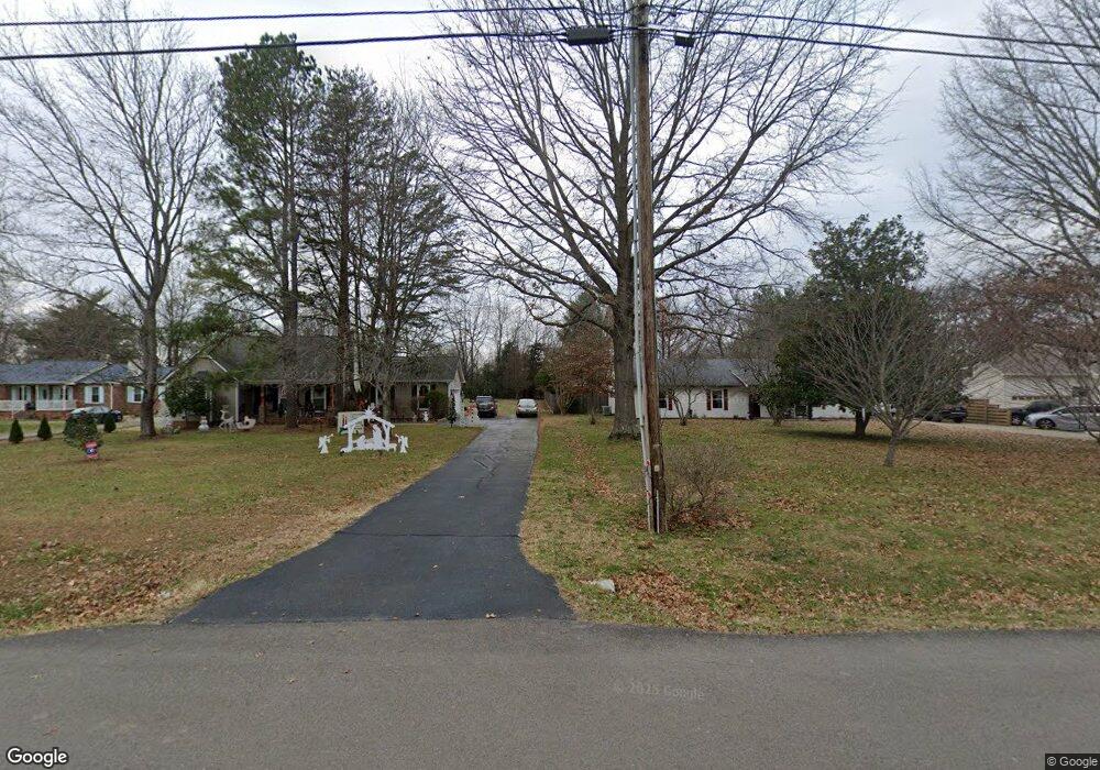
1474 W Jefferson Pike Murfreesboro, TN 37129
Estimated Value: $505,000 - $650,000
--
Bed
3
Baths
2,348
Sq Ft
$254/Sq Ft
Est. Value
About This Home
This home is located at 1474 W Jefferson Pike, Murfreesboro, TN 37129 and is currently estimated at $596,511, approximately $254 per square foot. 1474 W Jefferson Pike is a home located in Rutherford County with nearby schools including Wilson Elementary School, Siegel Middle School, and Siegel High School.
Ownership History
Date
Name
Owned For
Owner Type
Purchase Details
Closed on
Aug 29, 2011
Sold by
Powell Darrell W
Bought by
Carter Patrick R
Current Estimated Value
Home Financials for this Owner
Home Financials are based on the most recent Mortgage that was taken out on this home.
Original Mortgage
$248,500
Outstanding Balance
$172,510
Interest Rate
4.55%
Mortgage Type
Commercial
Estimated Equity
$424,001
Purchase Details
Closed on
May 11, 2011
Sold by
Morse Ricky A
Bought by
Powell Darrell W
Purchase Details
Closed on
Aug 28, 2009
Sold by
Powell Darrell
Bought by
Morse Ricky A
Purchase Details
Closed on
Jun 8, 2009
Sold by
Morse Ricky A
Bought by
Powell Darrell
Home Financials for this Owner
Home Financials are based on the most recent Mortgage that was taken out on this home.
Original Mortgage
$225,000
Interest Rate
4.77%
Create a Home Valuation Report for This Property
The Home Valuation Report is an in-depth analysis detailing your home's value as well as a comparison with similar homes in the area
Home Values in the Area
Average Home Value in this Area
Purchase History
| Date | Buyer | Sale Price | Title Company |
|---|---|---|---|
| Carter Patrick R | $248,500 | -- | |
| Powell Darrell W | -- | -- | |
| Morse Ricky A | -- | -- | |
| Powell Darrell | $170,000 | -- |
Source: Public Records
Mortgage History
| Date | Status | Borrower | Loan Amount |
|---|---|---|---|
| Open | Carter Patrick R | $248,500 | |
| Previous Owner | Powell Darrell | $225,000 |
Source: Public Records
Tax History Compared to Growth
Tax History
| Year | Tax Paid | Tax Assessment Tax Assessment Total Assessment is a certain percentage of the fair market value that is determined by local assessors to be the total taxable value of land and additions on the property. | Land | Improvement |
|---|---|---|---|---|
| 2025 | -- | $130,525 | $26,550 | $103,975 |
| 2024 | -- | $130,525 | $26,550 | $103,975 |
| 2023 | $2,449 | $130,525 | $26,550 | $103,975 |
| 2022 | $2,110 | $130,525 | $26,550 | $103,975 |
| 2021 | $2,012 | $90,675 | $18,225 | $72,450 |
| 2020 | $2,012 | $90,675 | $18,225 | $72,450 |
| 2019 | $2,012 | $90,675 | $18,225 | $72,450 |
Source: Public Records
Map
Nearby Homes
- 9941 Roanoke Dr
- 114 Falling Branch Ct
- 1851 W Jefferson Pike
- 214 Juniper Dr
- 2053 W Jefferson Pike Unit 2057
- 2039 W Jefferson Pike
- 9901 Tuckahoe Ct
- 8988 Big Oak Dr
- 7956 Lebanon Rd
- 9914 Debra Dr
- 343 William Dylan Dr
- 7408 Cloverdale Way
- 0 Holly Grove Rd Unit RTC2292369
- 525 Amberly St
- 308 Amazonway Ridge
- 323 Amazonway Ridge
- 9744 Jefferson Valley Dr
- 313 Sierra Dr
- 195 Beverly Randolph Dr
- 6464 Lebanon Rd
- 1472 W Jefferson Pike
- 9919 Roanoke Dr
- 9911 Roanoke Dr
- 9925 Roanoke Dr
- 9903 Roanoke Dr
- 9845 Roanoke Dr
- 9931 Roanoke Dr
- 9837 Roanoke Dr
- 9937 Roanoke Dr
- 9829 Roanoke Dr
- 9906 Roanoke Dr
- 9914 Roanoke Dr
- 9819 Roanoke Dr
- 9936 Roanoke Dr
- 1342 Malvern Dr
- 1464 W Jefferson Pike
- 9826 Roanoke Dr
- 9811 Roanoke Dr
- 1341 Malvern Dr
- 9942 Roanoke Dr