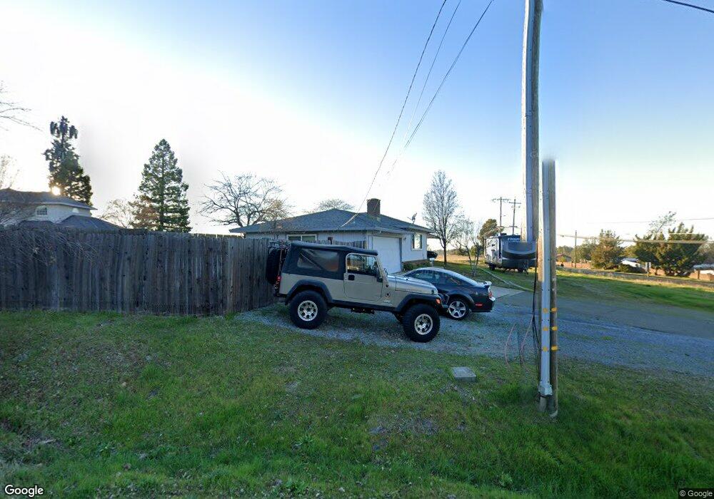
1475 Lowe Ln Auburn, CA 95603
Northwest Auburn NeighborhoodEstimated Value: $478,000 - $524,000
3
Beds
2
Baths
1,326
Sq Ft
$374/Sq Ft
Est. Value
About This Home
This home is located at 1475 Lowe Ln, Auburn, CA 95603 and is currently estimated at $496,020, approximately $374 per square foot. 1475 Lowe Ln is a home located in Placer County with nearby schools including Auburn Elementary School, Placer High School, and Bowman Charter School.
Ownership History
Date
Name
Owned For
Owner Type
Purchase Details
Closed on
Jun 10, 1997
Sold by
Romero Jayson J and Romero Marie Ann
Bought by
Tanko Gary C and Tanko Rosemary
Current Estimated Value
Purchase Details
Closed on
Aug 30, 1995
Sold by
Tanko Gary C
Bought by
Romero Jayson J and Romero Ann Marie
Home Financials for this Owner
Home Financials are based on the most recent Mortgage that was taken out on this home.
Original Mortgage
$97,850
Interest Rate
7.63%
Mortgage Type
Purchase Money Mortgage
Create a Home Valuation Report for This Property
The Home Valuation Report is an in-depth analysis detailing your home's value as well as a comparison with similar homes in the area
Home Values in the Area
Average Home Value in this Area
Purchase History
| Date | Buyer | Sale Price | Title Company |
|---|---|---|---|
| Tanko Gary C | $120,000 | First American Title Co | |
| Romero Jayson J | $131,000 | First American Title Co |
Source: Public Records
Mortgage History
| Date | Status | Borrower | Loan Amount |
|---|---|---|---|
| Previous Owner | Romero Jayson J | $97,850 |
Source: Public Records
Tax History
| Year | Tax Paid | Tax Assessment Tax Assessment Total Assessment is a certain percentage of the fair market value that is determined by local assessors to be the total taxable value of land and additions on the property. | Land | Improvement |
|---|---|---|---|---|
| 2025 | $3,407 | $195,412 | $81,420 | $113,992 |
| 2023 | $3,407 | $187,825 | $78,259 | $109,566 |
| 2022 | $3,208 | $184,143 | $76,725 | $107,418 |
| 2021 | $3,136 | $180,533 | $75,221 | $105,312 |
| 2020 | $3,122 | $178,683 | $74,450 | $104,233 |
| 2019 | $3,086 | $175,181 | $72,991 | $102,190 |
| 2018 | $2,984 | $171,747 | $71,560 | $100,187 |
| 2017 | $2,952 | $168,380 | $70,157 | $98,223 |
| 2016 | $2,916 | $165,080 | $68,782 | $96,298 |
| 2015 | $2,874 | $162,601 | $67,749 | $94,852 |
| 2014 | $2,848 | $159,416 | $66,422 | $92,994 |
Source: Public Records
Map
Nearby Homes
- 1406 Grass Valley Hwy
- 12102 Hemlock Dr
- 1638 Alder Cir Unit 1638
- 1622 Spruce Ct
- 12366 Pepperwood Cir Unit 182
- 12339 Pepperwood Cir Unit 12339
- 12318 Pepperwood Cir Unit 228
- 12300 Pepperwood Cir
- 12411 Homestead Way
- 12340 Erin Dr
- 1605 Grass Valley Hwy Unit 62
- 1605 Grass Valley Hwy
- 1605 Grass Valley Hwy Unit 54
- 1605 Grass Valley Hwy Unit 92
- 125 Marigold Ave
- 101 Marigold Ave
- 1045 Fox Run Ct
- 99 Marigold Ave
- 12439 Homestead Way
- 12280 Westwood Dr
- 1472 Lowe Ln
- 1454 Lowe Ln
- 12232 Luther Rd
- 12234 Luther Rd
- 12236 Luther Rd
- 1426 Lowe Ln
- 1435 Lowe Ln
- 1440 Lowe Ln
- 12181 Laurel Dr
- 1293 Summer Place
- 1436 Lowe Ln
- 1273 Summer Place
- 1425 Lowe Ln
- 1253 Summer Place
- 12177 Laurel Dr
- 1249 Summer Place
- 1420 Lowe Ln
- 12166 Laurel Dr Unit 3
- 12179 Laurel Dr
- 12170 Laurel Dr Unit 5
Your Personal Tour Guide
Ask me questions while you tour the home.